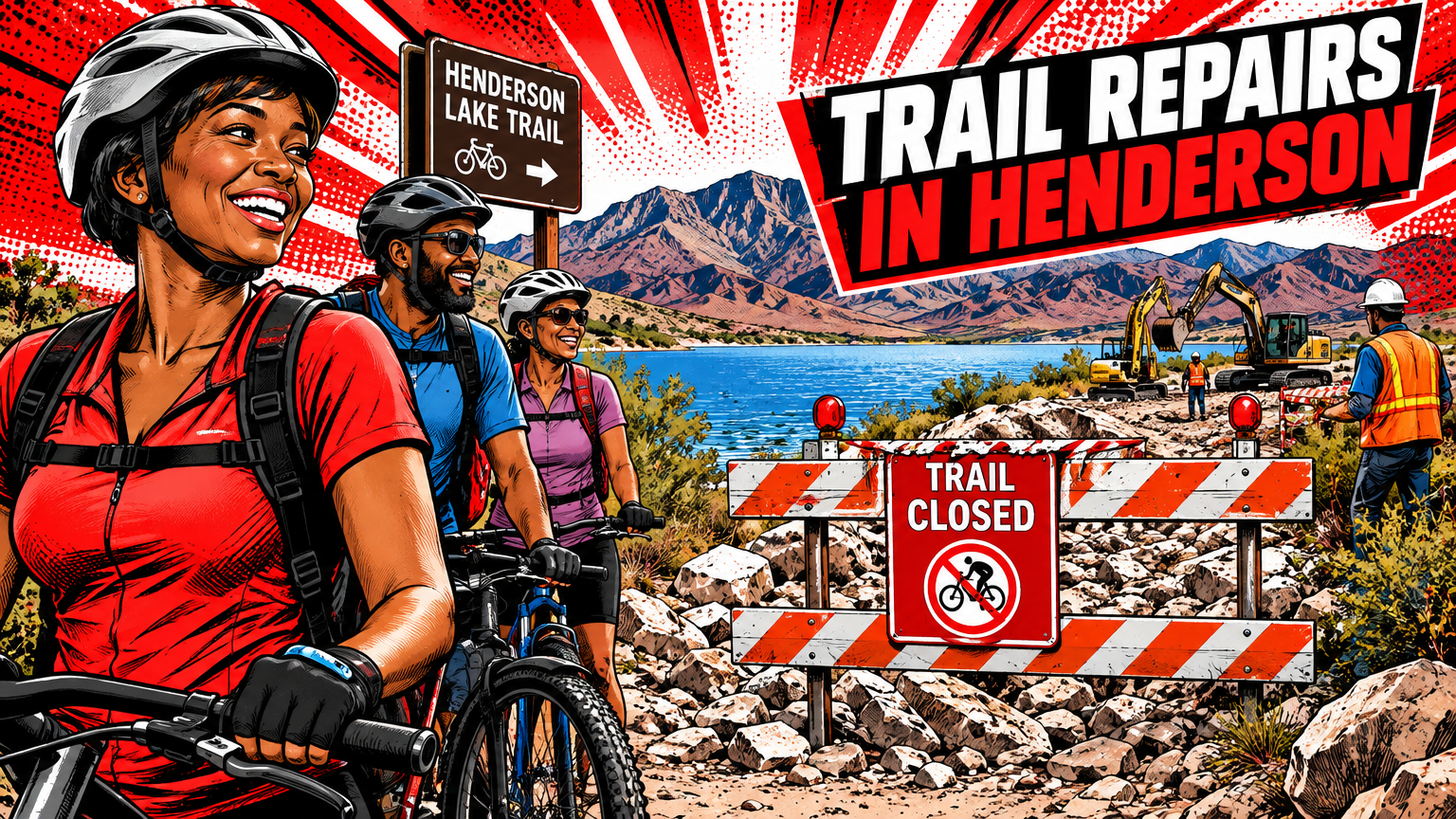
The loop is broken at the lake. Parts of the River Mountains Loop Trail around Lake Las Vegas are temporarily closed after heavy rain on Friday, October 30 washed out sections of the popular bike and walking path, the City of Henderson said. As of Tuesday morning, November 3, the city had not said when the damaged stretches will reopen.
That matters more than a normal trail closure because of what this trail is. The River Mountains Loop Trail is a 34-mile trail that circles the River Mountains and travels through Lake Mead National Recreation Area, Boulder City and Henderson. For many local riders, it is one continuous loop. Three damaged spots around one lake turn that loop into an out-and-back until crews fix it.
Where the Trail Is Closed
City workers on scene Monday pointed to two spots just east of Lake Las Vegas that were washed out or buried in rocks, plus a third spot near Mountain Lake Park on the west side of Lake Las Vegas, FOX5 reported. The rest of the loop remains open.
- Closed: two washed-out or rock-buried spots east of Lake Las Vegas, and one spot near Mountain Lake Park on the west side
- Open: the rest of the 34-mile loop
- Detour: no official detour has been posted
- Reopening: no date announced as of Tuesday morning, November 3
No official detour has been posted, and at least two cyclists had to leave the trail and ride a short stretch on the road to get around the damage. Henderson says it will come up with a repair plan and fix the damaged sections as quickly as possible.
Why This Washout Is Worse Than Usual
The storm on Friday, October 30 sent stormwater pouring over several spots on Lake Mead Parkway near Lake Las Vegas, something that happens in that area during heavy rain. City employees said this time the damage is worse than earlier washouts, which crews can usually clear of sand and small rocks. Because the trail carries runoff toward Lake Mead, they said water is expected to run down it from time to time.
The longer fix is bigger than one trail crew. The Regional Flood Control District says long-term plans for the area include channels and detention basins, and its current and planned flood projects are shown on the FloodView map at regionalflood.org. In plain terms, the trail sits in a runoff path, and the planned channels and basins are meant to catch and move that water before it tears up the ground around it.


Cleanup Is Still Running Across the East Valley
The trail is not the only place still digging out. In the east valley, City of Las Vegas streets and sanitation crews have been out for several days with skid steers, loaders, Vactor trucks and sweepers in the hardest-hit areas. The city said a storm that size can overwhelm the drain system, and debris backed up drains near Stewart Avenue and Lamb Boulevard. Businesses near Marion Drive and Stewart Avenue told FOX5 they had never seen flooding like it, and at least five cars stalled in deep water there on Friday afternoon.
Here is how to use this news before you head out:
- Plan a shorter out-and-back on the open parts of the loop instead of counting on a full 34-mile circle past Lake Las Vegas.
- Do not ride or walk through a closed, washed-out section. Buried rocks and missing pavement are exactly what the closure is for.
- If you drive near Lake Las Vegas, watch for cyclists who have had to leave the trail for a short stretch of road, and watch for crews and equipment near Stewart Avenue and Lamb Boulevard.
- Before your next ride after rain, check the FloodView map at regionalflood.org for the flood projects and problem spots around the lake.
The loop will be a loop again once Henderson finishes its repair plan and the work that follows it. Until the city names a reopening date, the Lake Las Vegas stretch is the gap to plan around, not through.