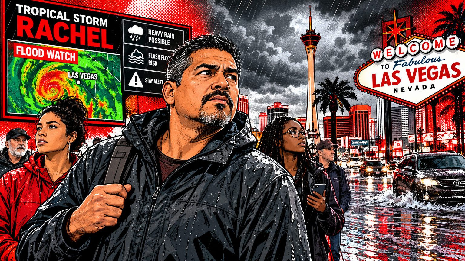
A flood watch put the Las Vegas Valley on alert ahead of Tropical Storm Rachel’s remnants, which brought heavy rain and flooding to parts of Southern Nevada over the weekend of Oct. 10 and 11. The watch warned that conditions could produce flooding. It did not mean every neighborhood would flood, or that residents should wait for water to appear before taking precautions.
The National Weather Service’s Las Vegas office posted the regional flood watch for Saturday afternoon through early Monday morning, according to KTNV’s report on the alert. Rain later caused flooding in several parts of the valley. Reports included water near Durango and Gowan, Rainbow and U.S. 95, and the 215 near Charleston Boulevard, 8 News Now reported.
The watch was for a defined weekend period, not a standing alert. Rachel’s rain has passed, but the safety lesson sticks: desert roads, washes and low crossings can turn dangerous fast. For current conditions, check the National Weather Service forecast for Las Vegas and follow any new alerts it issues.
What did the flood watch mean?
A flood watch means weather conditions are favorable for flooding. It is a heads-up to prepare and keep checking forecasts, not a statement that flooding will definitely happen at your address. The National Weather Service draws a clear line between a watch and a warning: a flood or flash flood warning means flooding is imminent or already occurring and people should take action.
That difference matters. During a watch, residents can check routes, move belongings out of low areas and make a plan before rain arrives. If a warning is issued for your location, do not treat it as a routine forecast update. Follow official directions and move away from flood-prone areas when instructed.
Rachel’s remnants brought the risk into sharp focus. The storm’s moisture helped produce heavy rain across Southern Nevada. Rainfall was not uniform: some areas saw more water than others, and flooding was reported in multiple parts of the valley. A quiet sky on one block does not tell you what is happening upstream or across town.
Why desert storms can cause sudden flooding
Las Vegas is built for a dry climate, but dry does not mean flood-proof. Heavy rain can run across hard surfaces and collect in dips, underpasses and low-lying roads. Normally dry washes and channels can carry fast-moving runoff, including water from storms that fell somewhere else.
That can make conditions change quickly. A route that looked clear a few minutes earlier may no longer be safe, and water can conceal debris or damage to the road. The National Weather Service warns that fast-moving floodwater can sweep people and vehicles away. The agency’s rule is simple: Turn Around, Don’t Drown.
What happened in the valley?
Rain from Rachel’s remnants led to flooding reports across the Las Vegas Valley on Sunday, Oct. 11. Residents shared images of water around neighborhoods and roads, and crews were seen assisting drivers in standing water near the 215 and Charleston Boulevard, according to 8 News Now. The Las Vegas Review-Journal also reported flash flood warnings in the west valley as the storm moved through.
Those reports show why the watch covered a broad area even though the worst conditions did not land uniformly. A regional watch describes a risk, not a promise that every street will flood. When a storm is moving through, local warnings and road closures matter more than what the weather looks like from your driveway.
The alert followed forecasts of heavy rain and possible flash flooding over the weekend. The storm’s timing and impacts made the warning practical, not abstract: residents needed to stay informed, allow extra time and avoid trying to cross water-covered streets.
How should residents respond to a flood watch?
A watch is the time to make low-drama, high-value choices. Check the forecast before driving, keep checking if conditions change, and be willing to take a different route. Secure outdoor items if strong winds are also forecast, and move vehicles or valuables away from spots that collect water.
- Check official alerts and forecasts before leaving home and during changing weather.
- Plan a route that avoids washes, low crossings and underpasses if heavy rain is expected.
- Do not drive around barricades or through standing or moving water.
- Keep clear of washes and drainage channels when water is flowing.
- Follow emergency instructions if a warning is issued for your area.
The National Weather Service says it is never safe to walk or drive through floodwater. Water can be deeper or faster than it appears, and the road surface beneath it may be damaged. If you reach a flooded road, turn around and find another route. No shortcut is worth gambling with moving water.
Watch, warning, and what to check next
During a watch, stay prepared and monitor updates. A warning calls for action because flooding is imminent or happening. The distinction is useful, but residents should not wait for a warning to avoid water they can already see or to leave an area that is becoming unsafe.
For future storms, use the National Weather Service’s local forecast and alerts rather than relying only on the view outside your window or a social media post. Conditions can differ across the valley, and alerts can change as a storm develops. Check before you travel, especially when a route crosses a low point or wash.
The takeaway for Las Vegas drivers
Rachel’s weekend rain brought flooding to parts of the valley after the watch warned residents about the possibility. A watch is not a forecast that every neighborhood will flood. It is a window to prepare, pay attention and make safer choices before conditions turn.
When water covers the road, do not test it, follow another car, or trust a familiar route. Turn around. In Las Vegas, that is the smartest way through a storm.