Discover more Las Vegas stories
2 published stories tagged “Wetlands Park”.
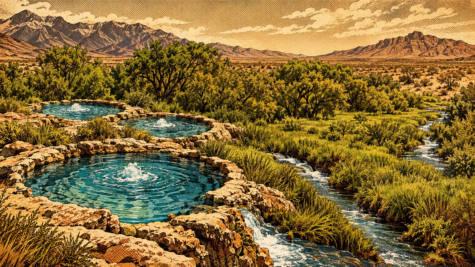
Before the street map, there was a water map: three artesian springs sending two streams east, a creek past the fort and ranch, and a 12-mile wash draining the whole valley to the river. This is that map, and how pipes and wells redrew it.
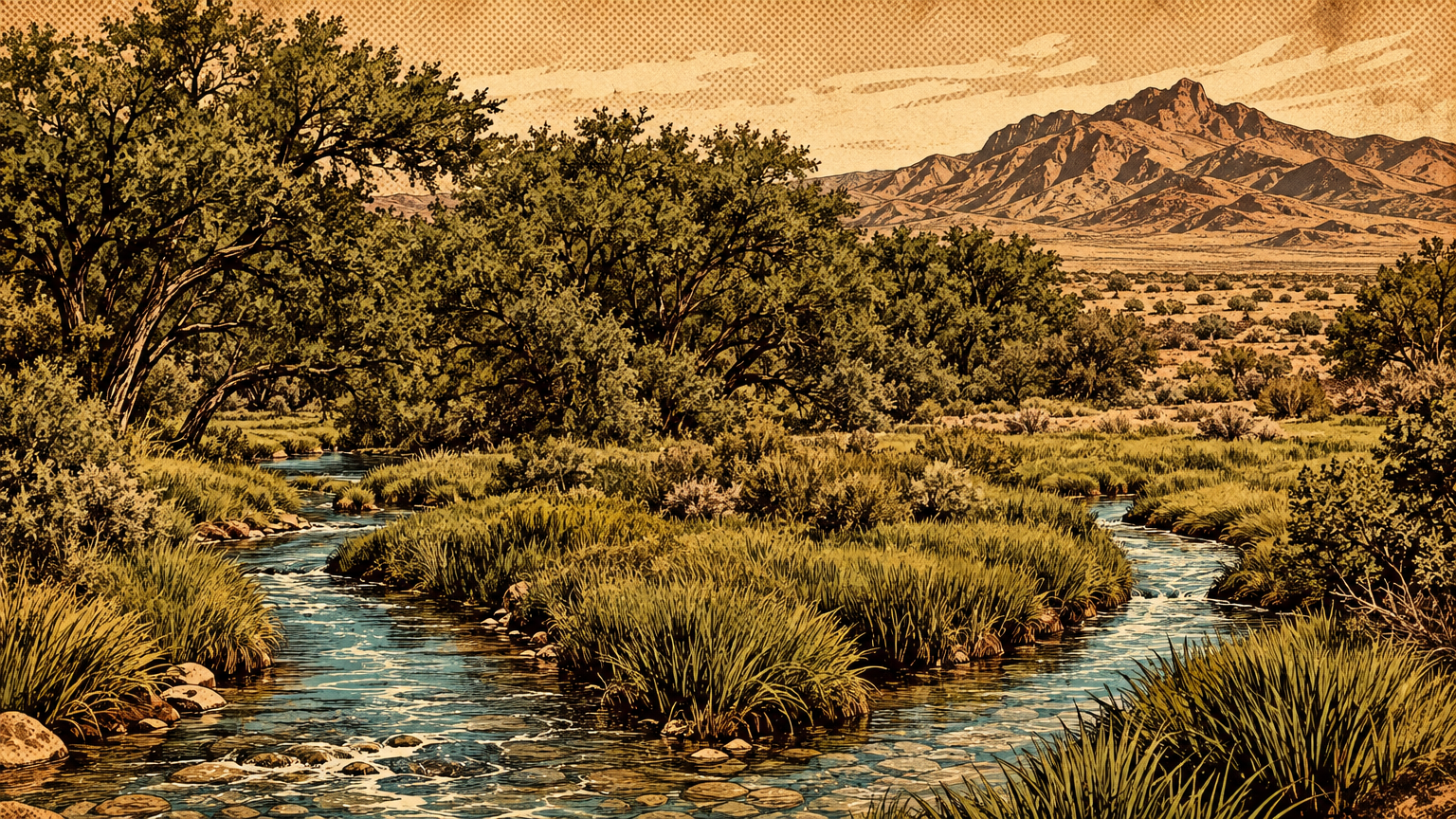
Before the pavement, this valley was a creosote desert cut by green ribbons: spring meadows, mesquite bosques, grass pockets, and a wash that ran east. This is the landscape the city replaced, and the two big pieces of it you can still walk today.