Close your eyes and strip the city off the map.
No Strip. No freeways. No subdivisions marching to the mountains.
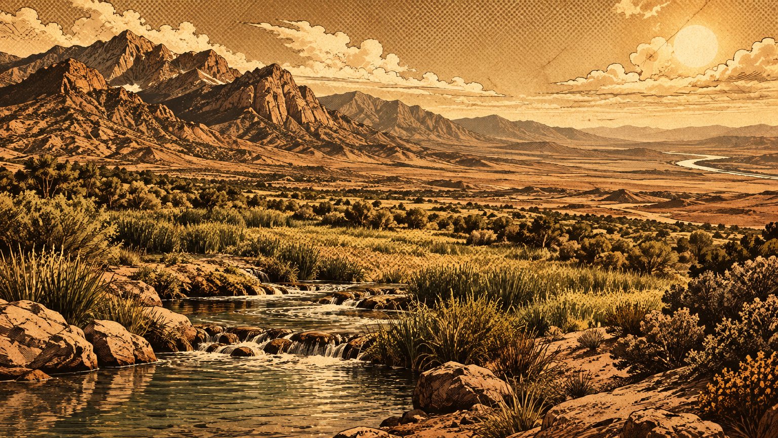
What is left is not empty desert. It is a working landscape with a wet green heart, dry gray flats, and woodland thick enough to feed families through winter.
The name gives it away. Las Vegas means the meadows, and the meadows were real.
Original ecological zones
Springs, washes and desert scrub
Start at the water, because everything here started at the water.
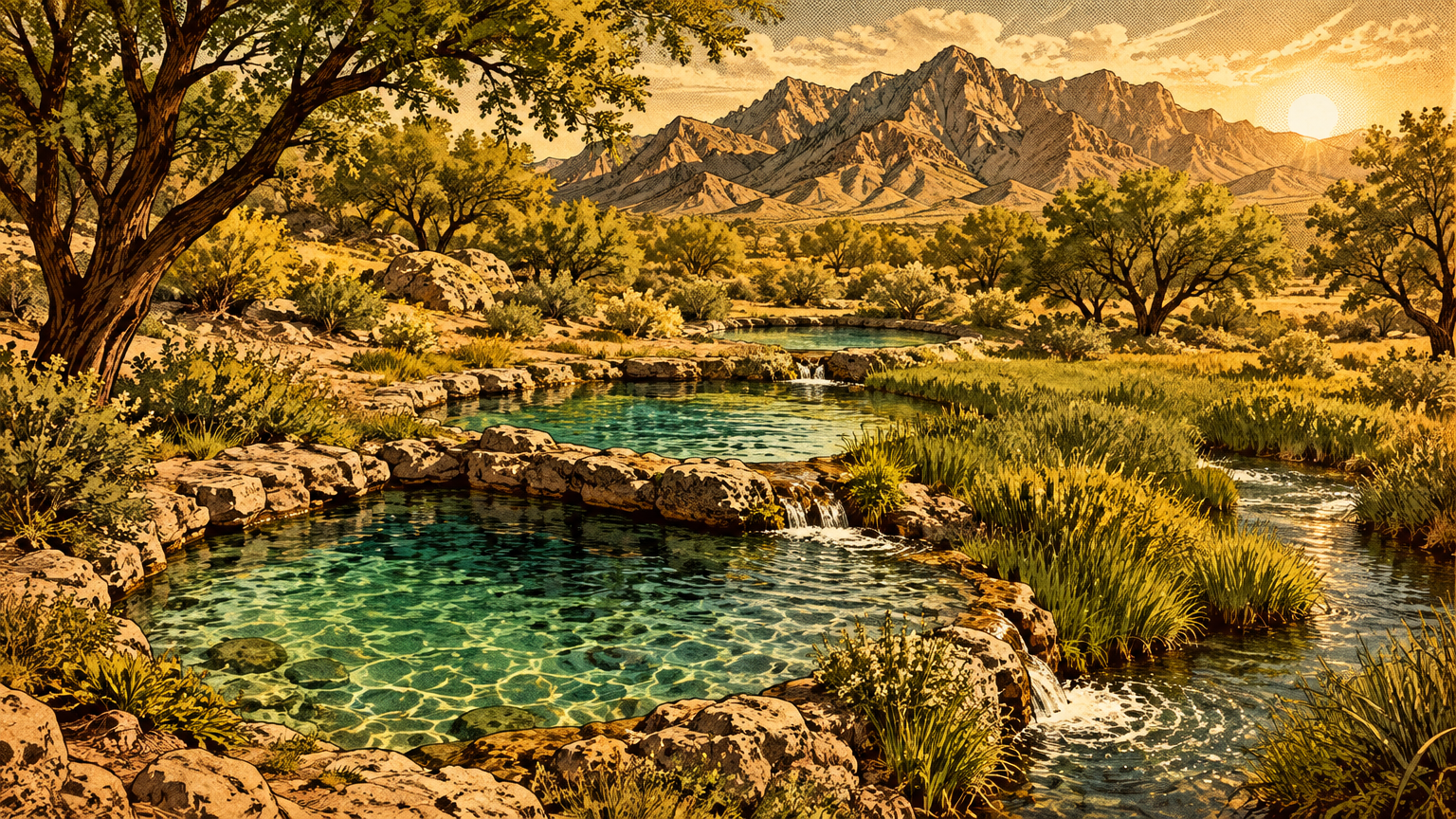
Three springs, Big, Middle, and Little, rose on the ground that is now the Springs Preserve. State Engineer records put Little Spring alone at 2,700 to 3,150 gallons a minute in 1908.
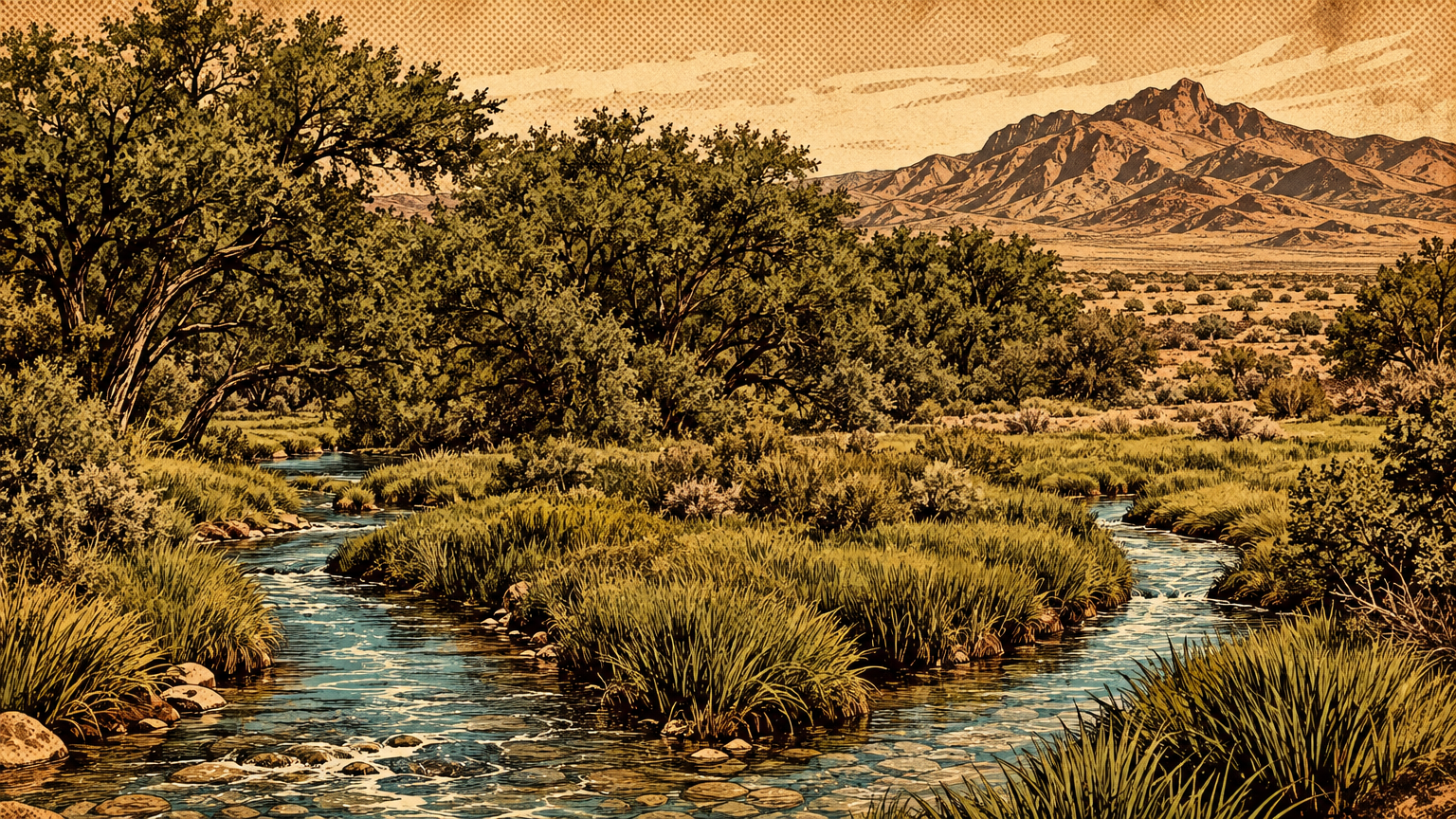
The springs sent two streams across the valley, in the words of the state historical marker. Those streams nurtured native grasses and built lush meadows all the way toward Sunrise Mountain.
Las Vegas Creek carried spring water east. Beyond it, the Las Vegas Wash drained the whole valley, collecting storm flow and shallow groundwater on its long run toward Lake Mead country.
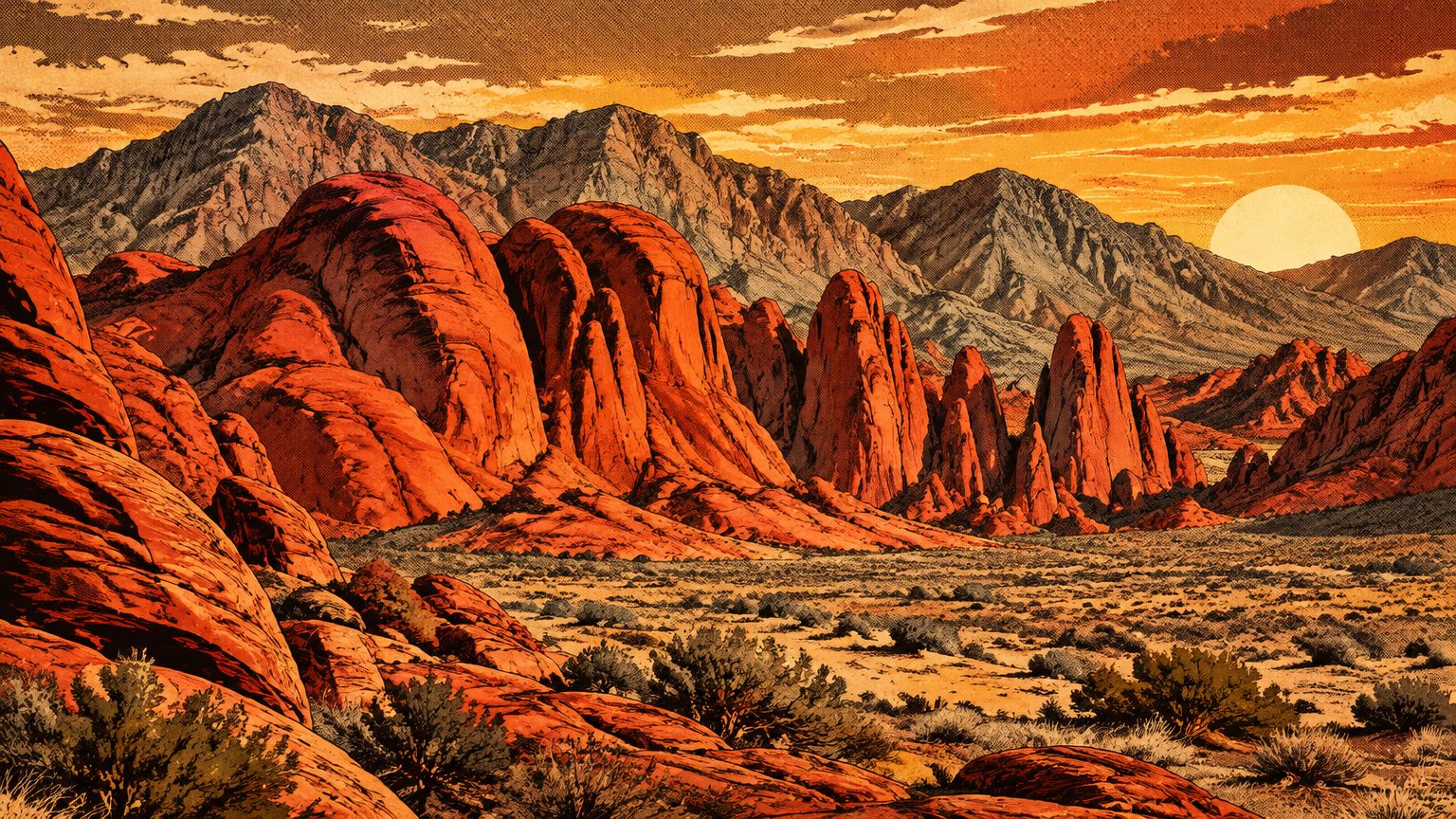
Away from the water, the valley ran dry and tough. This is the Mojave Desert, the driest desert in North America.
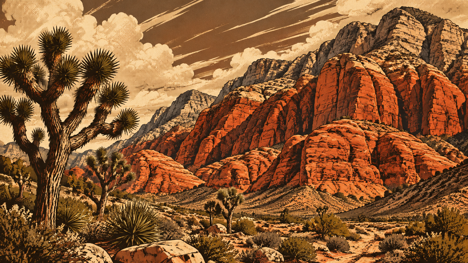
The dominant plant community on the flats was creosote bush scrub. Creosote bushes stand spaced wide apart, each one claiming its own patch of gravel and rain.
Biologists who inventoried this valley in the 1970s found the creosote community was the most common one here. It covered the low ground below 4,000 feet, mixed with bursage, saltbush, and Mojave yucca.
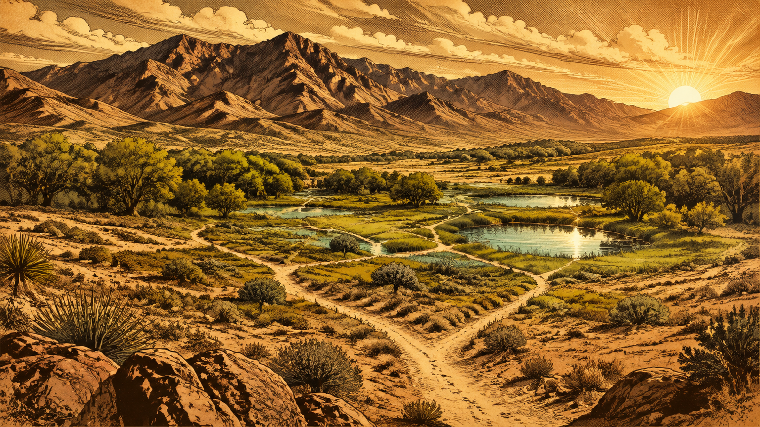
So picture the contrast honestly. A gray green sea of scrub, mile after mile, cut by ribbons of real green wherever water ran or hid close to the surface.
It was not a lawn. It was not a wasteland either. It was a desert with a plumbing system, and the plumbing decided where life could pile up.
Mesquite bosques and wet areas
Where spring water spread out and soaked in, the valley grew forest.
The state marker calls it plainly: a natural oasis of meadow and mesquite forest. Mesquite trees clustered in dense groves that Spanish speakers would call bosques, woodlands fed by groundwater their deep roots could reach.
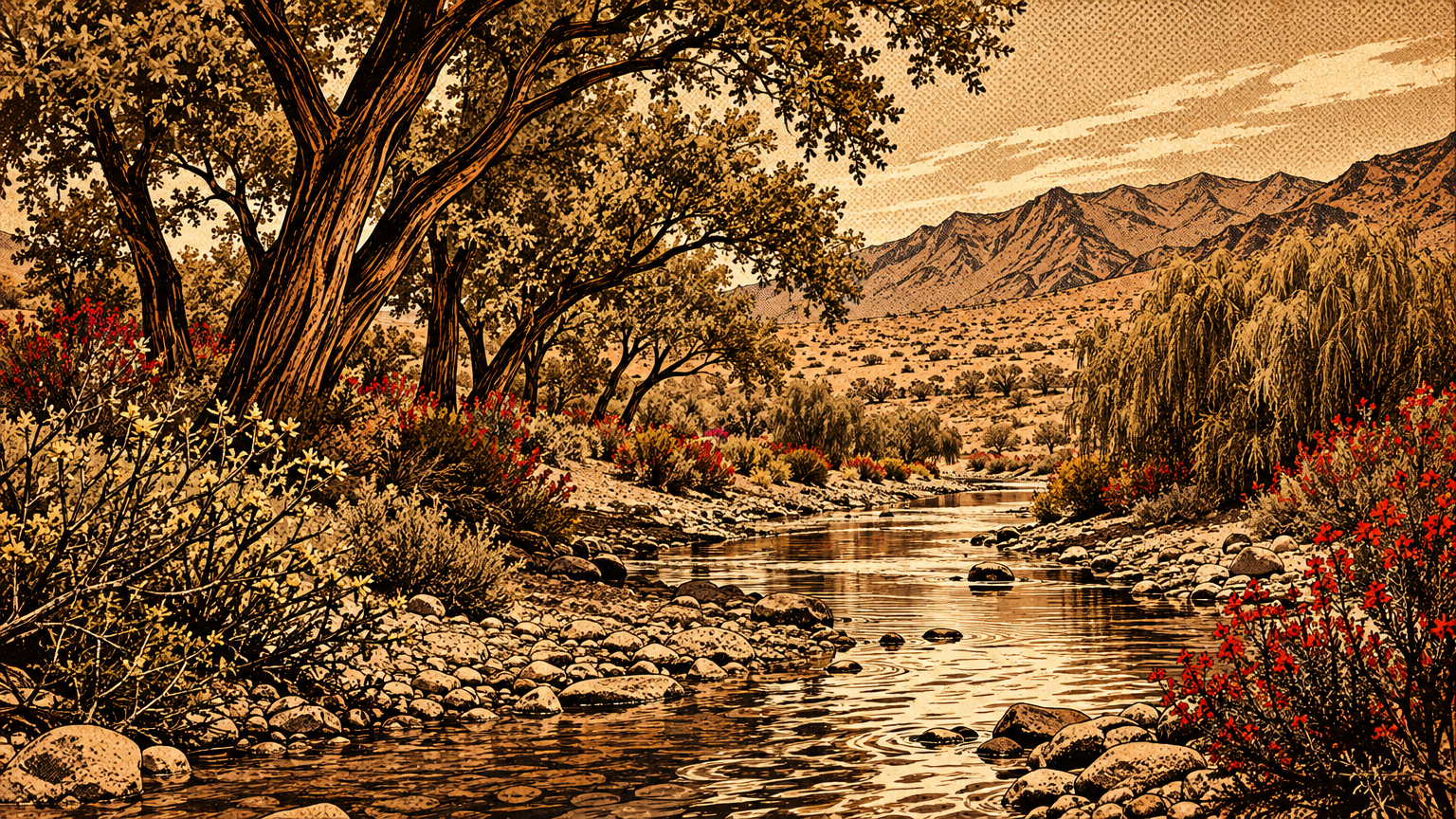
In the wettest ground, the plant list changes completely. Willows lined the channels, cottonwoods threw shade, and cattails and bulrushes stood in the marshy edges where the soil stayed damp.
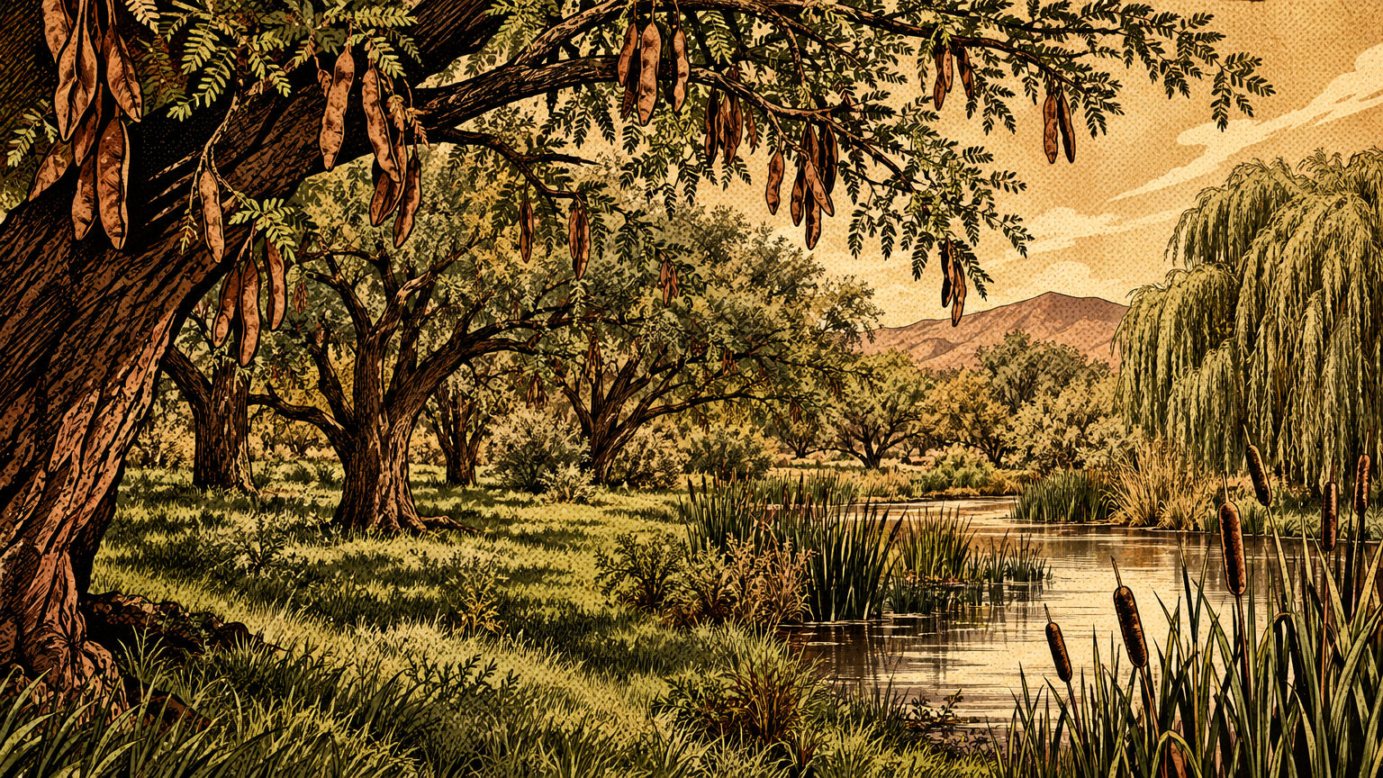
The meadows themselves were grass, real grass, in a desert that gets only a few inches of rain a year. Spring flow did what rain could not, watering the ground every day of the year.
And the grass was not confined to the springs. Botanists from the University of Nevada, Las Vegas documented grassy remnants in the southwestern valley, pockets the bulldozers had not reached yet.
Those plots held eight native perennial grasses, among them fluff grass, purple three-awn, big galleta, red grama, and slim tridens. Their verdict surprises people: parts of this valley were grass-shrubland, not just shrub desert.
Washes added one more layer. After storms they ran hard and fast, and along their banks catclaw acacia and mesquite held on in scrubby lines that marked the watercourse from a distance.
Read the old valley like a map of moisture. Wet meadow at the springs, woodland where roots could drink, grass pockets on the fans, and creosote everywhere else.
Human use shaped the place
Irrigation, pathways and seasonal activity
People did not find this landscape empty. They found it stocked, and they organized their year around it.
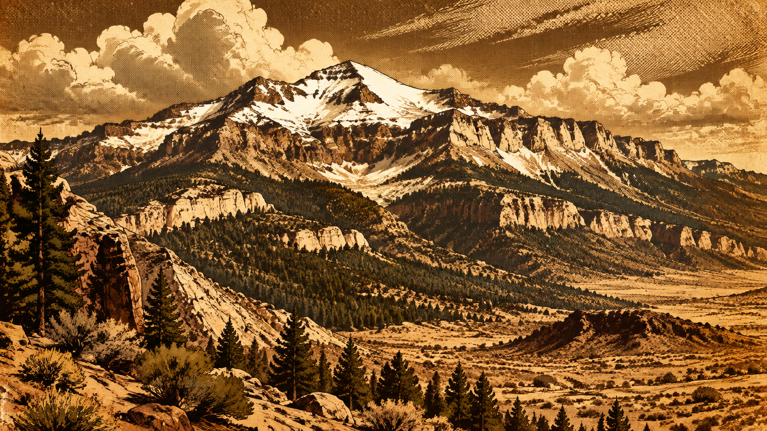
The springs country was the winter homeland of the Southern Paiute, the Nuwu. When summer heat built on the valley floor, families moved up into the Charleston Mountains, the range we now call the Spring Mountains.
Near the springs and washes, Indigenous families built gardens and small settlements. The Pueblo peoples, the Patayan, and the Nuwuvi all used the Las Vegas Springs and Las Vegas Creek, a run of use that lasted until ranching took over in the 1860s.
The mesquite bosques were a pantry with roots. Mesquite beans and pods were of considerable importance in the Southern Paiute diet, gathered primarily by women and ground into meal that stored well.
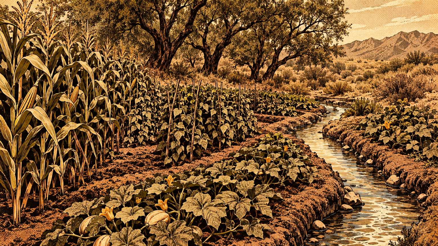
Scholar Claude Warren called the pattern a double loop. One loop worked the valley floor: gardens beside the creeks, mesquite groves producing a never failing supply of storable beans.
The other loop climbed. In the mountains, families gathered agave and pine nuts at camps they reused year after year, then carried the harvest back down.
Movement tied it together. Paths ran spring to spring and valley to mountain, because in this country a route is really a list of places where you can drink.
Later travelers inherited that same map. The springs became a major campsite on the Old Spanish Trail and the Mormon Road, prized for exactly what the Paiute had prized: water and grass for animals.
Settlers then put fences and ditches on the pattern. Mormon missionaries built their fort in 1855 because of the artesian water, and they diverted creek water onto crops.
Octavius Gass filed on most of the water from the springs in 1872. By 1878 he owned all the land watered by the creek, and in 1902 Helen Stewart sold the ranch and its water rights to the railroad.
Avoiding the untouched-wilderness myth
Here is the trap in every pretty reconstruction, including this one.
It is tempting to picture the old valley as pure nature, untouched until the city arrived. The record says otherwise.
Gardens were planted, tended, and guarded. Groves were harvested on a schedule set by ripening pods, and storage pits and baskets turned a short harvest into winter food.
That is management. Not industrial, not fenced at first, but deliberate human work applied to the same ground for a very long time.
The settler era changed the scale, not the fact. Irrigation ditches straightened the creek's gift, cattle grazed the meadows hard, and the valley spent 1866 to 1904 as one huge cattle ranch in the state marker's summary.
Even the trees fool modern eyes. Some cottonwoods admired at the old springs descend from plantings, not from the original wild stand.
So the honest picture is a tended landscape. Wild in its weather and its water, worked in its gardens and groves, and shared by people who knew exactly which patch fed them in which month.
That matters for how we judge what came next. The city did not pave a pristine Eden. It paved a homeland that people had been carefully using for centuries, and the paving erased their work along with the wild growth.


The modern comparison
Landscape conversion and urban heat
The conversion came in two waves: first the water went, then the pavement spread.
Wells multiplied after 1907, many left uncapped and flowing under artesian pressure. Las Vegas Creek dried up for the first time in the summer of 1935.
Groundwater levels later fell two to four feet a year. By 1962 the great springs had stopped flowing altogether.
When the springs died, much of the vegetation around them died with them. The Preserve's own account notes that trees and shrubs whose roots still reached shallow groundwater survived, and the rest did not.
Then the city sealed the surface it had drained. Homes, roads, parking lots, and commercial buildings replaced scrub, meadow, and bare desert soil across the valley floor.
Researchers can measure what that trade did to the air itself. A University of Nevada, Las Vegas fact sheet reports that Las Vegas ranked as the most intense urban heat island in the United States, day and night, between 2004 and 2013.
In summer, the city runs up to 24 degrees Fahrenheit hotter than nearby rural areas. The same accounting puts the city's average temperature up almost 5.76 degrees Fahrenheit since 1970, the fastest rise of any city in the country.
A second UNLV study, tracking summers from 1990 to 2017, found the mechanism in the land itself. As rural and barren ground became urban, commercial buildings and roadways were the main contributors to rising surface temperatures.
The old landscape cooled itself with shade, grass, and open soil that breathed. The new one stores the day in asphalt and gives it back all night.
Where native habitats remain
The old valley is not gone. It survives in pieces, and two of the best pieces are open to anyone, free or cheap, right now.
Piece one is the springs ground itself. The Springs Preserve, at 333 S Valley View Blvd, Las Vegas, NV 89107, protects 180 acres where the three springs once flowed.
Since 2003 the Preserve has been restoring what pumping killed. Its crews rebuilt wetlands and habitat ponds along Las Vegas Creek and replanted cottonwood, willow, mesquite, acacia, cattails, and bulrushes.
Walk its trails and the route teaches the old map in order. You move from a restored cienega, a wet meadow, into a living mesquite bosque, the same one two punch of water and woodland that named this city.
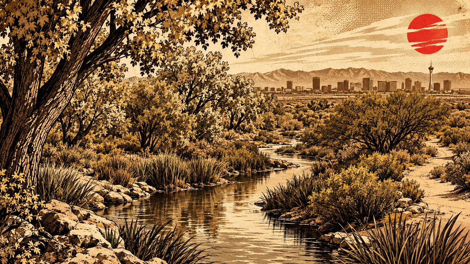
Piece two is bigger and wilder. Clark County Wetlands Park, at 7050 Wetlands Park Lane, Las Vegas, NV 89122, spans 2,900 acres on the valley's eastern edge.
Its 210 acre Nature Preserve wraps around the Las Vegas Wash. More than 300 bird species and 70 species of mammals and reptiles have been identified there, beavers, coyotes, and bobcats among them.
The trails there wind through cottonwood groves and mesquite bosques and out into desert scrub. That is the original valley mosaic, still standing in one protected sweep, a short drive from the Strip.
Smaller fragments hold on too. The grassy remnants UNLV documented in the southwestern valley were already shrinking as researchers recorded them, and some have since been destroyed, which is exactly why the protected pieces matter.
Stand in the Wetlands at dawn, with the creek running and the bosque in shade, and the reconstruction stops being imagination. Before pavement and lawns, Las Vegas looked like this: dry, tough, and quietly green wherever the water said so.
Next, the series follows that water on paper and asks how the first mapmakers drew a valley that ran on springs: The Original Water Map of Las Vegas.