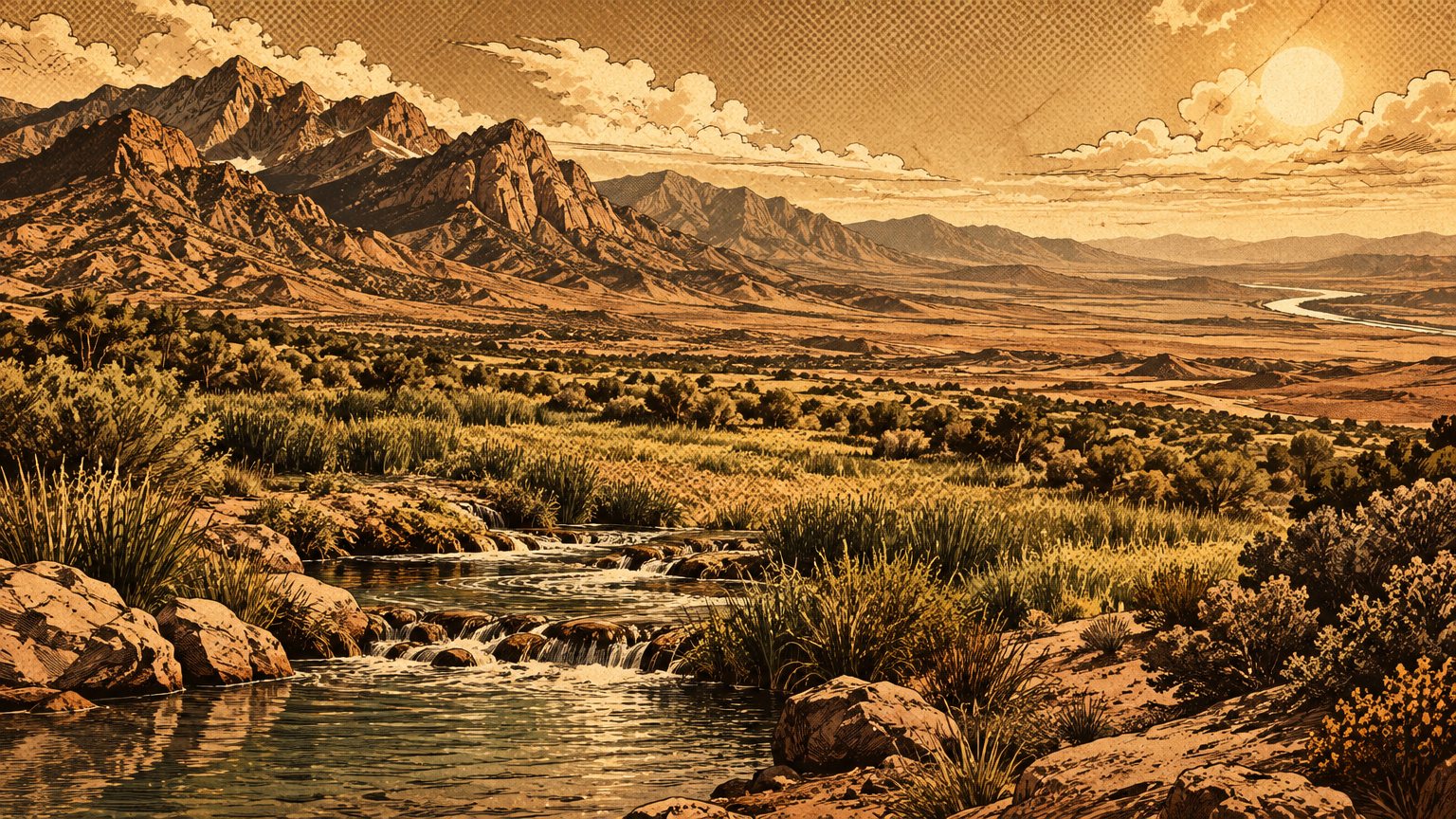
Stand anywhere in Las Vegas and look west. The view ends at a wall.
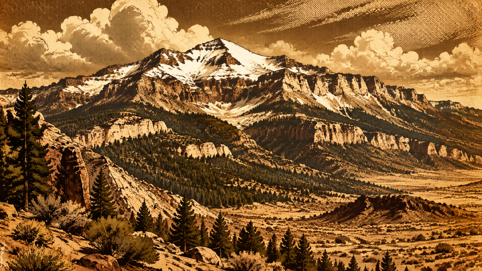
That wall is the Spring Mountains, and for much of the year its highest crest carries snow you can see from the valley floor. Long before there was a skyline to navigate by, that white ridge was the landmark, the weather forecast, and the water tower for everything living in this valley.
This is the story of the range itself. It is a story about how a pile of ancient seabed became the wettest, greenest, and most alive ground in southern Nevada, and about the people who have known it as a homeland for a very long time.
The mountains and the valley
Elevation, snow and groundwater
The climb is absurd, and it happens fast. The recreation area that wraps the range runs from about 3,000 feet in the valleys to 11,918 feet at the top of Charleston Peak, the highest ground in southern Nevada and the only peak in southern Nevada that rises above timberline.
Height is weather. Las Vegas averages 4.18 inches of precipitation a year, a figure the National Weather Service keeps for a city that can go months without a wet day. The high Spring Mountains average roughly 23 inches of precipitation a year, plus around 97 inches of snowfall on top of that.
That snow is not decoration. It is the valley's original water supply, delivered by altitude and stored in stone.
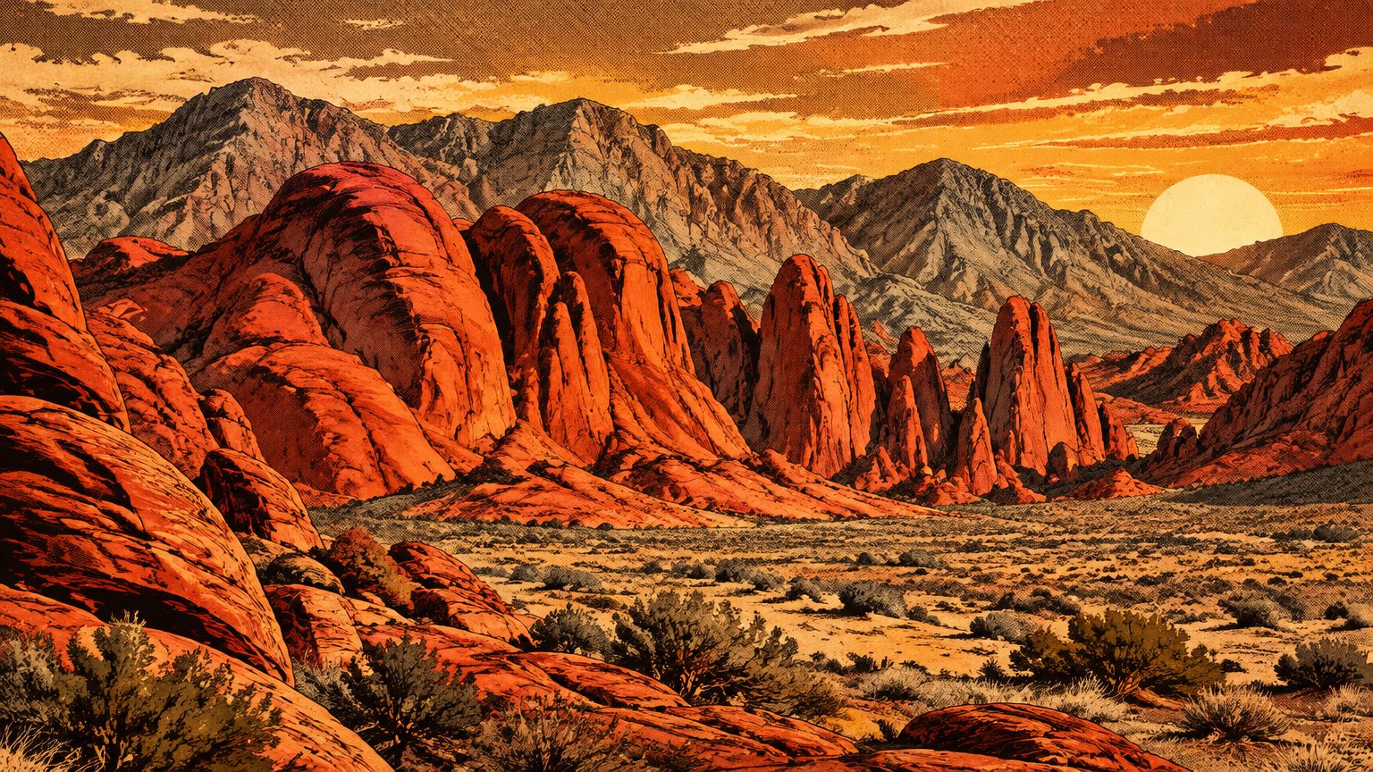
The stone matters as much as the snow. These mountains began as sediment on an ancient seabed, later folded, faulted, and shoved upward into a range. The rock is mostly limestone and dolomite, full of fractures, and fractured limestone drinks.
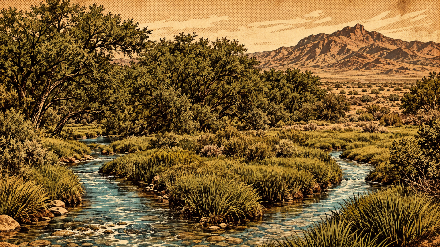
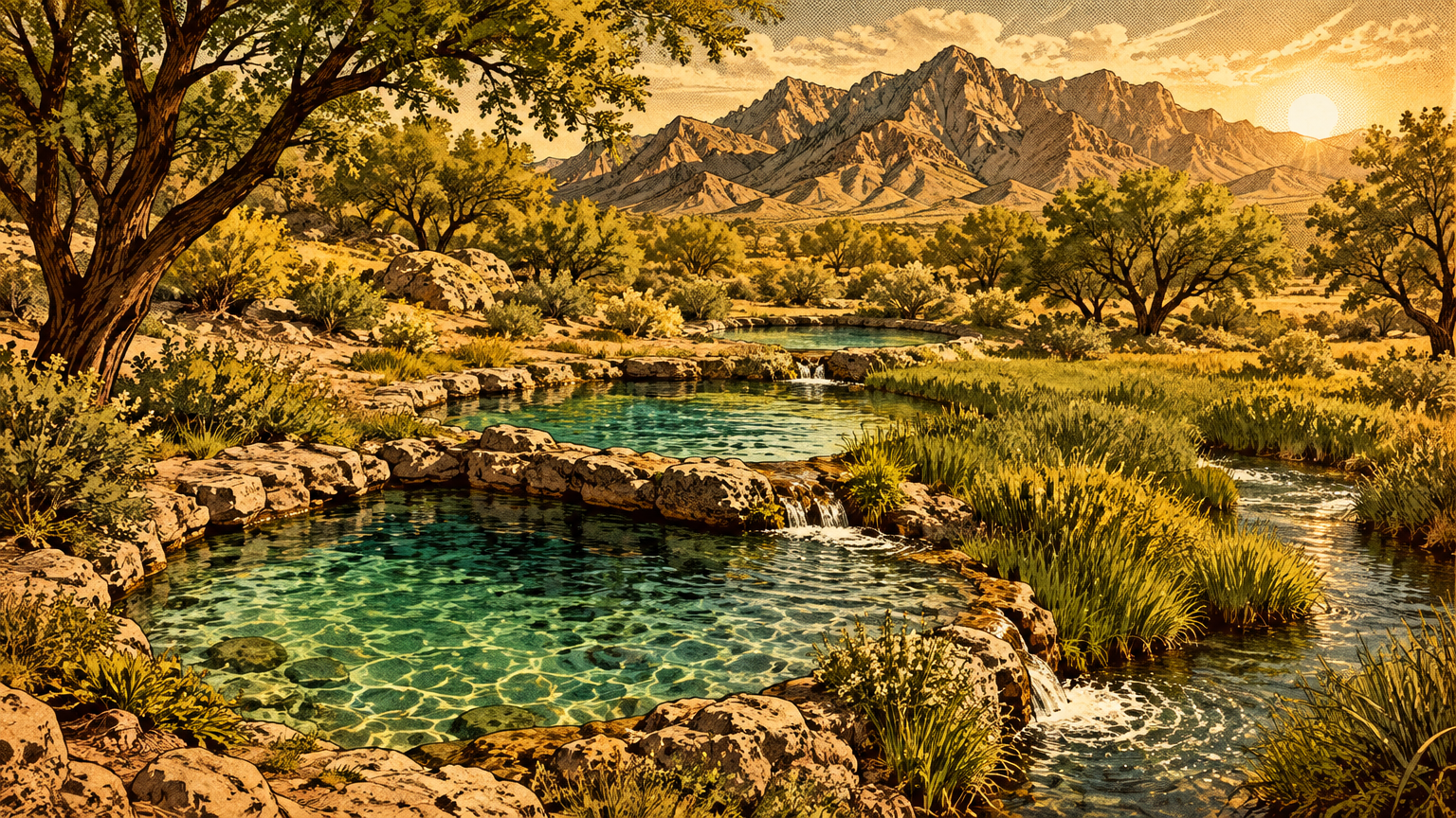
Rain and snowmelt sink into that broken rock, travel underground, and come back out as springs. The Forest Service counts more than 100 springs in the range and says plainly that they are its namesake: the Spring Mountains are named for their springs. Researchers who study those springs have catalogued more than 300 flowing ones, and they credit them with providing resources for roughly 80 percent of the range's terrestrial animal species.
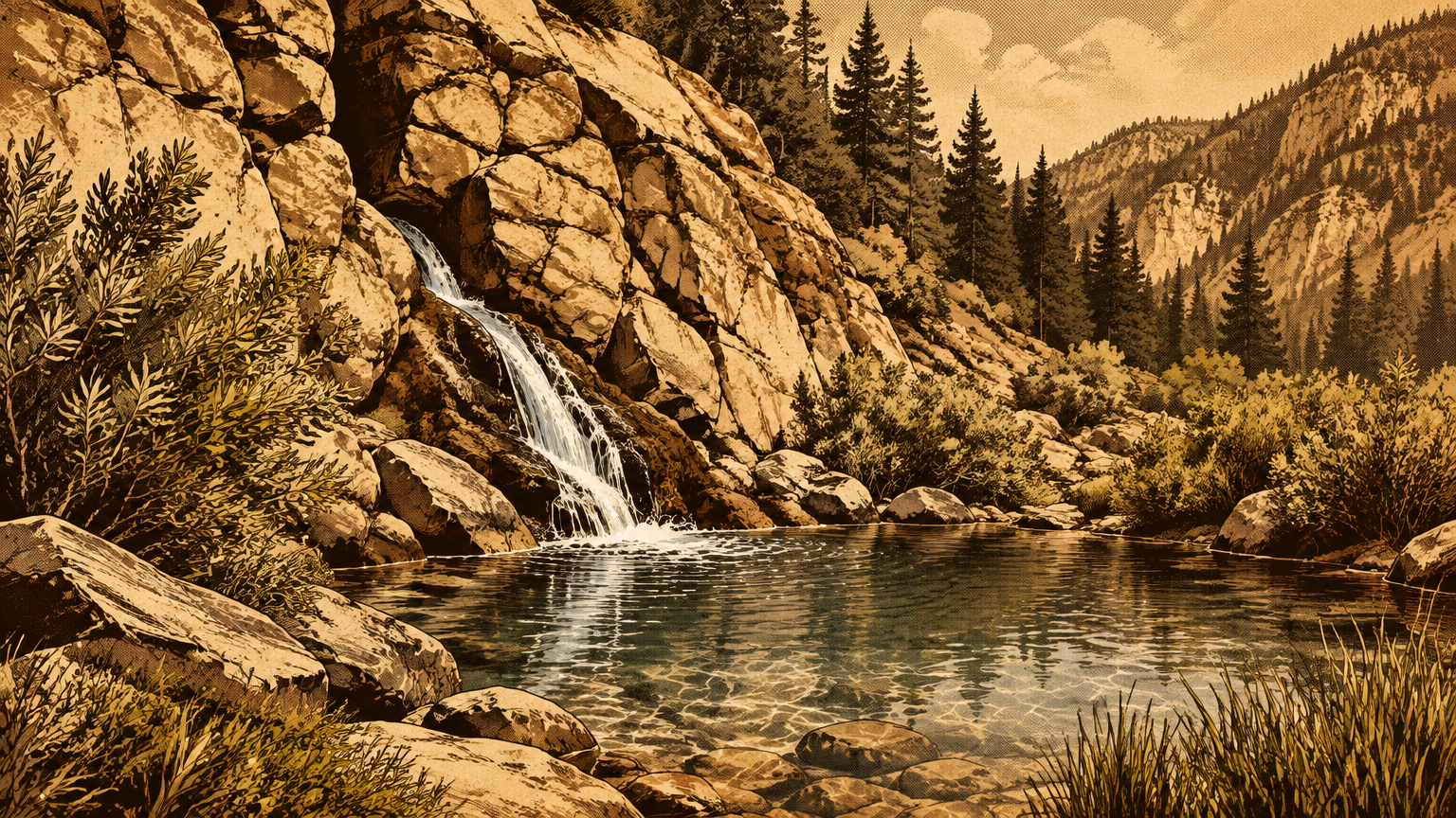
The water does not stop at the range's edge. In a landmark groundwater study, the U.S. Geological Survey concluded that under natural conditions, the aquifers beneath the Las Vegas Valley were refilled primarily by snowmelt and precipitation running off the northern Spring Mountains. The other ranges around the valley contributed less, and rain falling on the valley floor contributed almost nothing.
The numbers make the point. The Survey put the valley's natural recharge at roughly 25,000 to 35,000 acre-feet a year, and its canyon-by-canyon work credited Kyle Canyon alone with about 5,000 acre-feet a year and Lee Canyon with about 3,000, most of it from snowmelt. Every spring, as the snowpack let go, water levels in those canyons rose, then slid back down through the dry months.
So when earlier stories in this series describe the famous springs on the valley floor, picture the plumbing behind them. The meadows of Las Vegas drank from these mountains long before anyone drilled a well.
Habitats from desert to forest
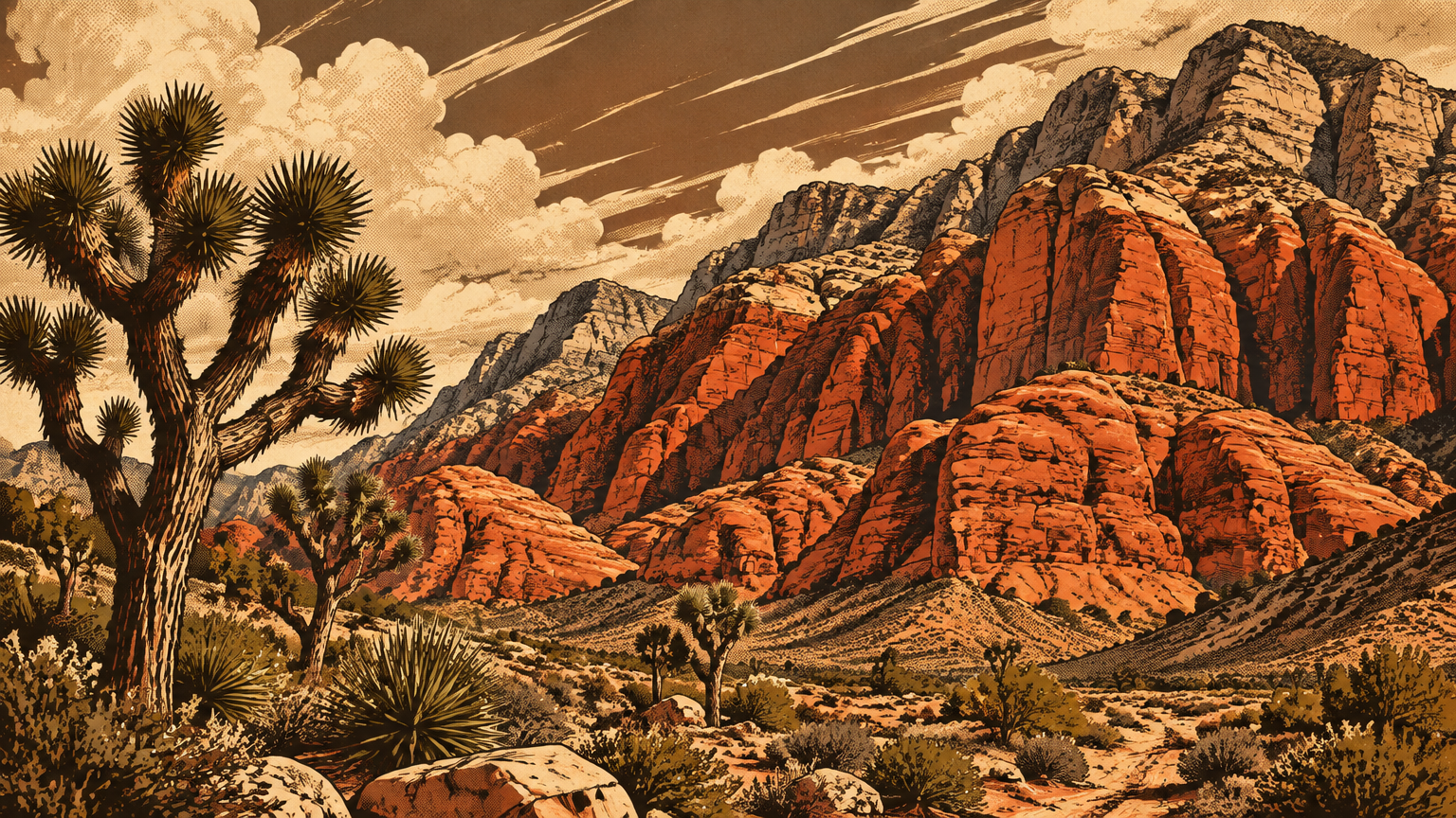
Climbing the range is a drive through climates that have no business being neighbors. At the base, creosote bush, white bursage, and Mojave yucca hold the desert floor, the same Mojave that fills the valley. Gain a few thousand feet and the woodland takes over: pinyon pine and juniper, the working forest of the old seasonal round.
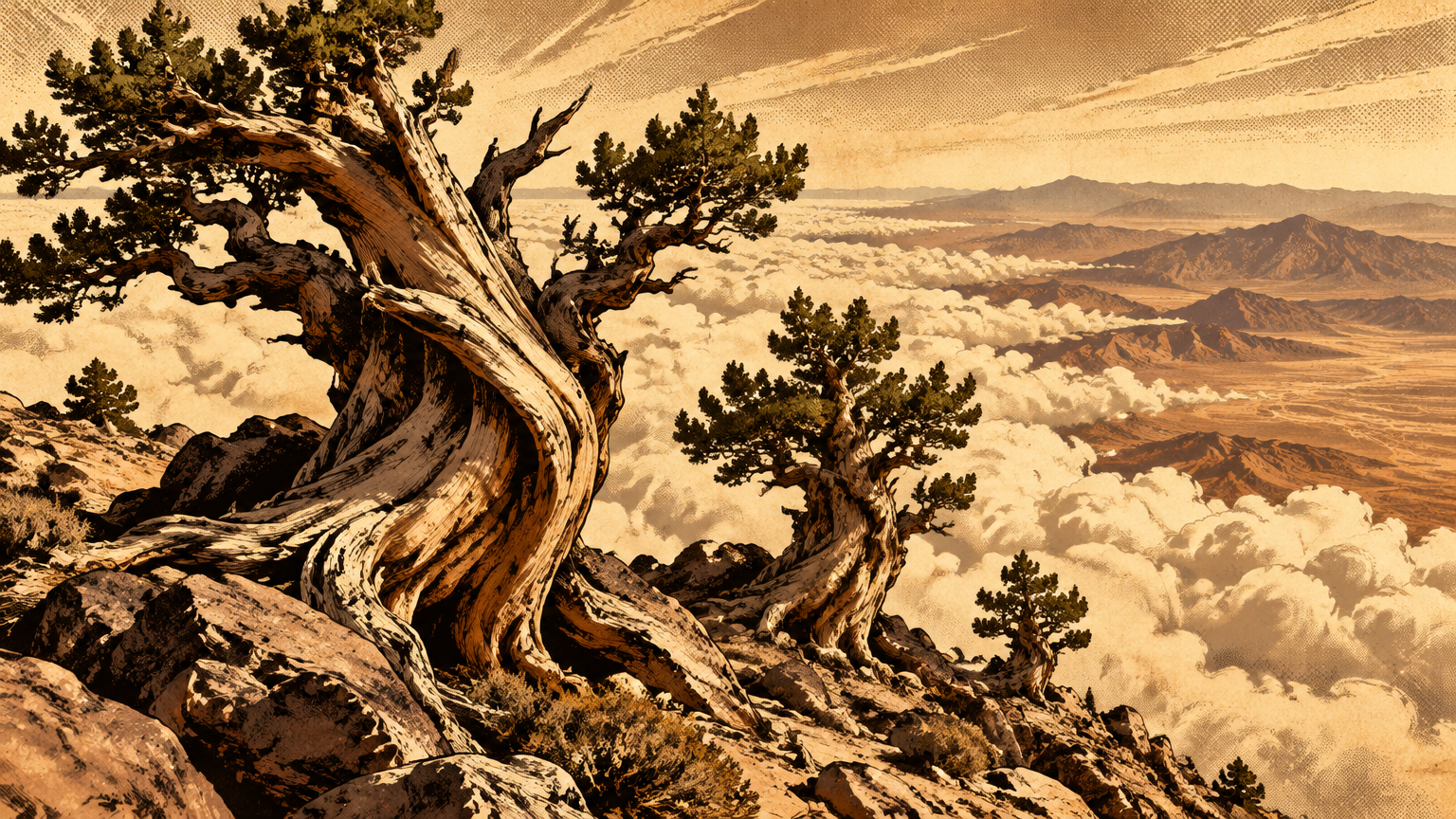
Higher still, the air cools into real forest. Ponderosa pine and white fir cover the upper slopes in deep shade you can smell from the trail. Above them, the ridges belong to the bristlecone pines, gnarled and slow, and the highest summits are bare rock swept clean by wind.
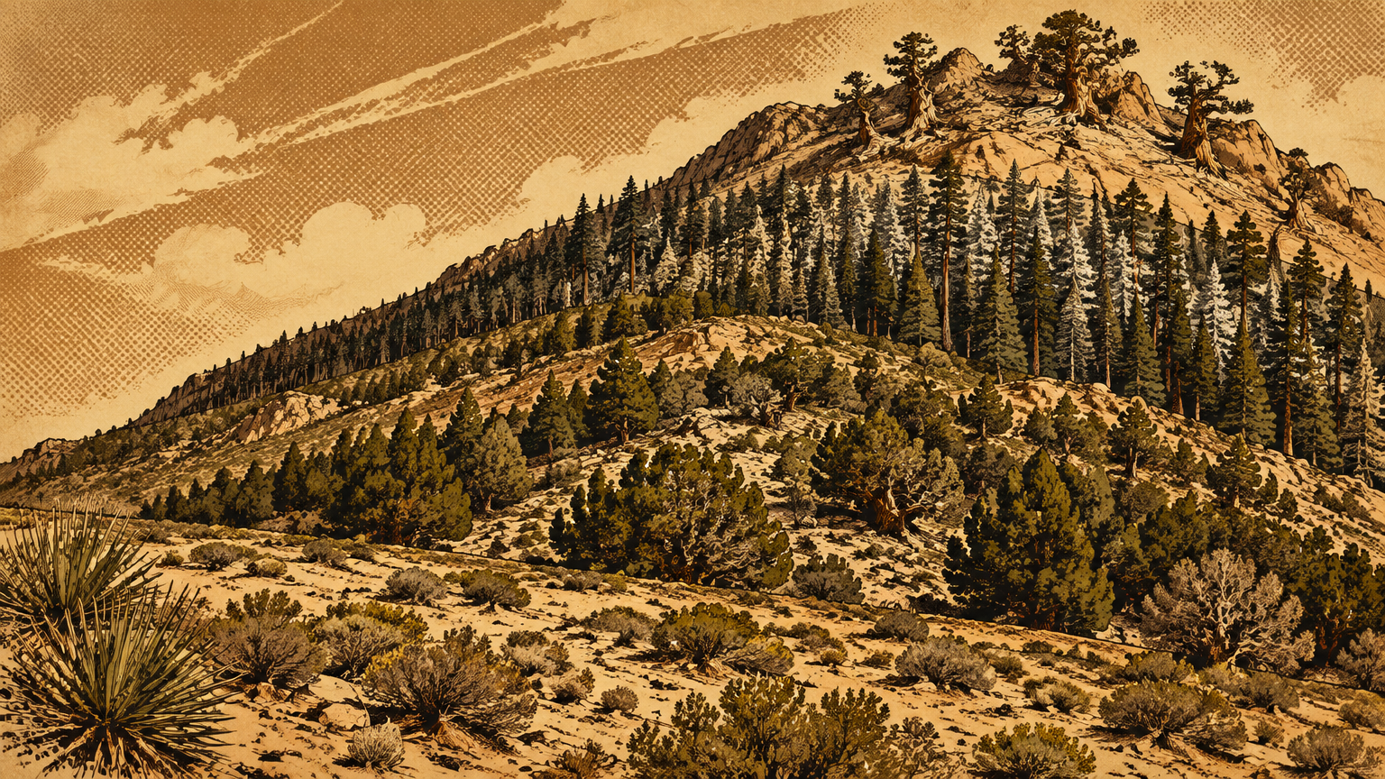
Biologists have a name for a place like this: a sky island. The high, cool, wet ground is an island, and the desert around it is the sea. Nothing that lives at 10,000 feet can cross miles of hot valley floor to reach the next range, so life up here evolved in isolation, on its own clock.
Isolation writes strange species. The Forest Service visitor program counts more than 25 kinds of plants and animals in these mountains that exist nowhere else on Earth. The list includes the Palmer's chipmunk, a springsnail that lives in the mountain seeps, an ant found only here, and eight butterflies that fly nowhere else.
The bristlecones are the island's elders. The Forest Service calls them some of the world's oldest living organisms, and the Mount Charleston Wilderness alone holds about 18,000 acres of them, the most extensive stand in the Intermountain region. Some of those trees were already old when the valley below them got its first wagon road.
Human connections
Indigenous place knowledge and travel
To the Nuwuvi, the Southern Paiute people, this range is not scenery. It is Nuvagantu, which translates as "where snow sits," and in Nuwuvi tradition it is the place where their people were created.
The Nuwuvi Working Group, speaking for the tribes in a statement prepared with the Forest Service, describes the Creator making the Nuwuvi at Nuvagantu and the land itself as alive, with power moving through rocks, water, air, plants, and animals. Tribal speakers in the federal ethnographic record put it more bluntly: it is not just a mountain to them. It is a living thing.
Anthropologist Jeremy Spoon, who has worked with the tribes on interpreting this landscape for the public, records that seven Nuwuvi nations regard the Spring Mountains as their creation place. Hold that fact next to the groundwater numbers and the picture sharpens. The range that watered the valley also authored its first people, in their own account of the world.
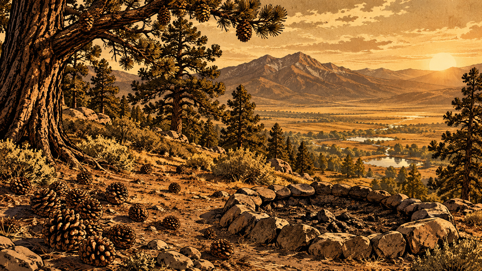
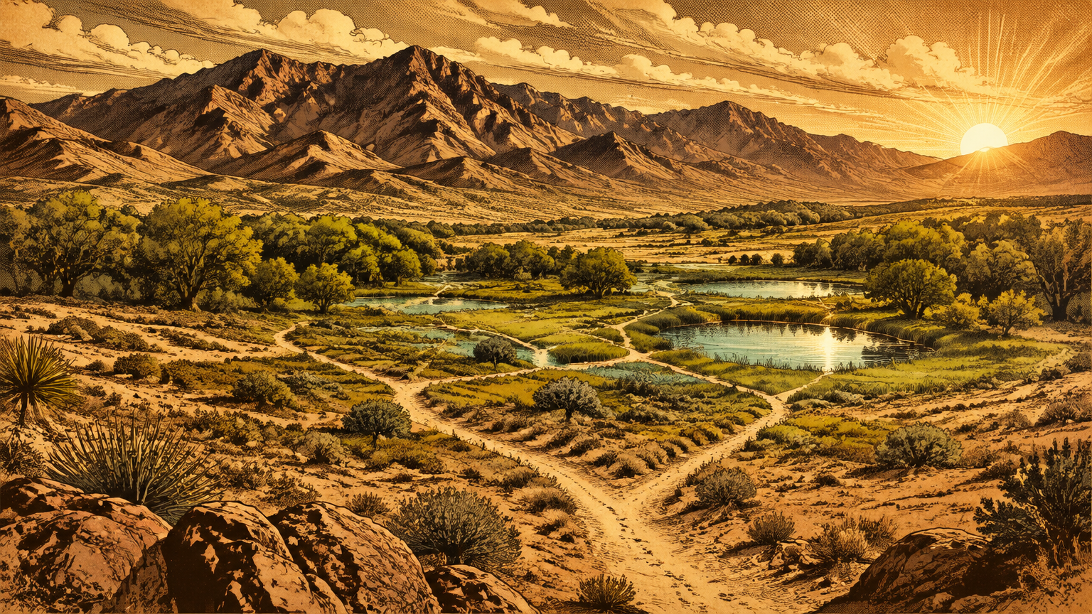
Knowledge followed the trails. A network of paths laced the range and the desert around it, running spring to spring and valley to summit, and elders in the ethnographic record tie those trails directly to Nuvagantu, to its water, and to its pine nuts. Knowing where the water sat, in which canyon, in which month, was survival information, and it was carried in memory and song across generations.
Seasonal use and continuity
The valley's own historical marker states the rhythm in one sentence: the springs were the winter homeland of the Southern Paiutes, who spent the summers in the Charleston Mountains. Two homes, one people, and a calendar set by temperature and food.
Archaeologist Claude N. Warren mapped the pattern as a double loop, and its mountain half ran uphill in the warm months and early fall. Families returned to the same foothill camps and the same pinyon groves year after year to harvest agave and pine nuts. The Forest Service's cultural history of the recreation area records the same fall movement, and names the stored pine nut as the essential winter food.
The pinyon was more than a crop. Researchers who study Nuwuvi ecological knowledge call the singleleaf pinyon a cultural keystone species, tended for generations, among other methods by whipping the cones from the branches at harvest so the trees kept producing. This was management, practiced on a landscape that outsiders later misread as untouched wilderness.
The connection never broke. Today the Forest Service works with the seven Nuwuvi nations through formal collaboration on the stewardship of this recreation area, and tribal knowledge is part of how the range gets interpreted to the million people a year who visit it. The oldest relationship in this valley is also a current one.


A living landscape
Protected areas and modern pressures
The modern protections arrived in layers. The federal government first set the high country aside as the Charleston Forest Reserve in 1906. Congress designated the Mt. Charleston Wilderness in 1989 at roughly 43,000 acres, established the Spring Mountains National Recreation Area in 1993, and expanded the wilderness in 2002 to the 57,442 acres it covers today.
The recreation area now shelters three wilderness areas, Mount Charleston, Rainbow Mountain, and La Madre Mountain, inside its roughly 317,000 acres. On paper, the island is armored. In practice, it sits about 30 miles from a metropolitan area, and the Forest Service counts more than a million visitors a year climbing into it to escape the heat and ski the winter snow.
Fire tested the armor in July 2013. The Carpenter 1 Fire burned about 27,881 acres in the Mount Charleston area, nearly all of it inside the recreation area, and it burned as high as 11,400 feet, through ancient bristlecone stands. Rain on the burn scar then tore at the slopes with flooding and debris flows, and the damaged Griffith Peak Trail stayed closed until volunteers working with the Forest Service reopened it at the end of 2020.
Water tested it next, from the other direction. In August 2023, the remnants of Tropical Storm Hilary flooded the range, and by that October the Kyle, Lee, and Deer Creek highways were still closed to visitors. State transportation crews counted damage at 43 places along the mountain roads, including an 856-foot stretch of the Kyle Canyon road that was simply gone, washed out completely.
The law has flagged the island's fragility in quieter ways, too. In 2013 the U.S. Fish and Wildlife Service listed the Mount Charleston blue butterfly as endangered, and in 2015 it set aside about 5,214 acres of critical habitat for a butterfly that lives only in the open ground between the high forest and the alpine rock. A sky island, by definition, has no higher ground to retreat to.
Where to learn without disturbing sites
Start at the bottom of Kyle Canyon. The Spring Mountains Visitor Gateway opened there on May 29, 2015, a 128-acre site with a visitor center, exhibits, amphitheaters, and trails running out into the recreation area. It is the right first stop: current conditions, honest closure information, and the whole range explained in one place.
The Gateway also holds a memorial with a story most Las Vegans have never heard. On November 17, 1955, an Air Force C-54 carrying scientists, engineers, and intelligence personnel to work on the secret U-2 spy plane program crashed near Charleston Peak, killing all 14 people aboard. The story stayed classified for decades.
The Silent Heroes of the Cold War National Memorial at the Gateway, built around the salvaged propeller of that aircraft, is the nation's first national memorial to the Cold War, the first on Forest Service land, and the first in Nevada. Wreckage from the crash still rests on the peak inside the wilderness. It is a historic site and, in every sense that matters, a grave.
Look from a distance and leave it exactly as it lies.
That ethic covers the whole range. Rock art, roasting pits, and artifacts stay where they sit, because a thing removed from its place loses most of what it can teach. Check conditions before you go, since some trails damaged in the 2023 floods remain closed, and let the Gateway staff point you to what is open.
The reward for the care is the climb itself. You can breakfast in the desert and stand in a forest that was ancient when Rome was young, all inside one morning, without leaving the county.
The skyline is the landmark now, and it earns the job honestly. But for thousands of years, the white wall west of this valley did every bit of that work and more. It caught the snow, stored the water, fed the people who were created there, and kept an ark of species found nowhere else on Earth.
The neon came later. Before it, there was the snow line above the valley, green in a brown desert, promising water to anyone who knew how to read it.
The people who read it first are still reading it. The mountain is still doing its work.
Next in Vegas, Back Then: Red Rock Before the Scenic Drive.