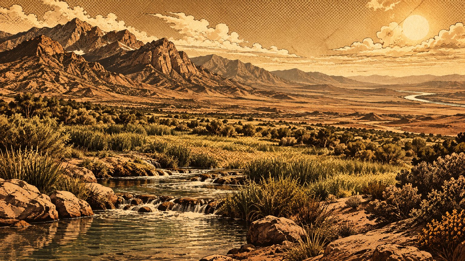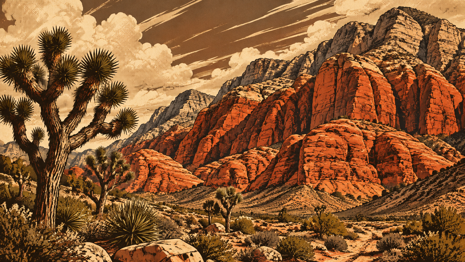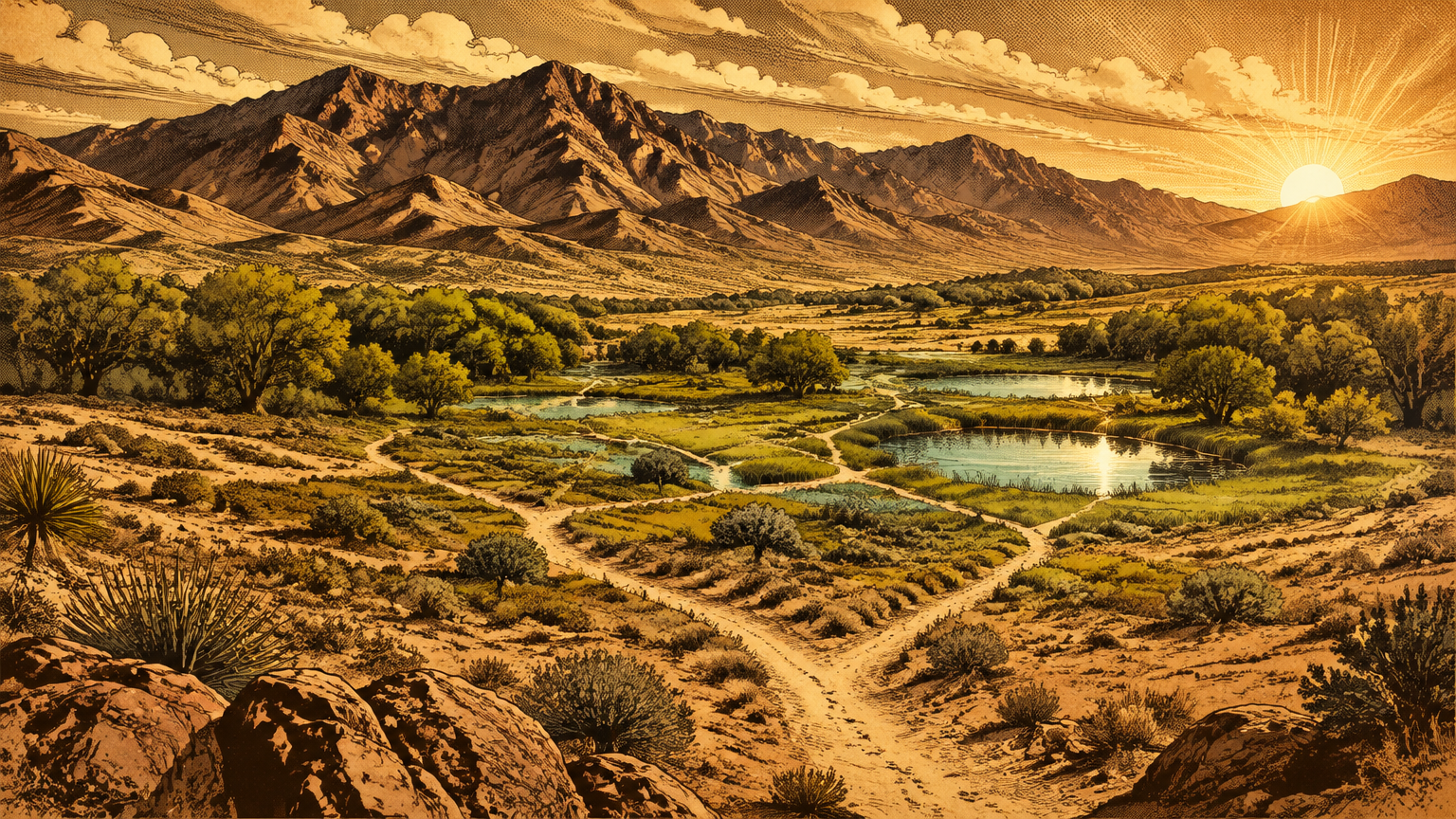
Las Vegas did not wait for the railroad to become a crossroads. Long before the first surveyor's chain rattled across this valley, it was already a junction, a place where journeys paused, traded, and changed direction.
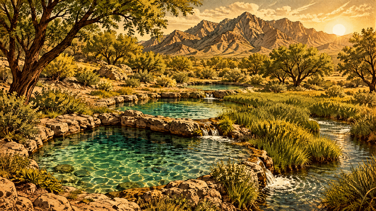
The reason was never the scenery. It was the water.
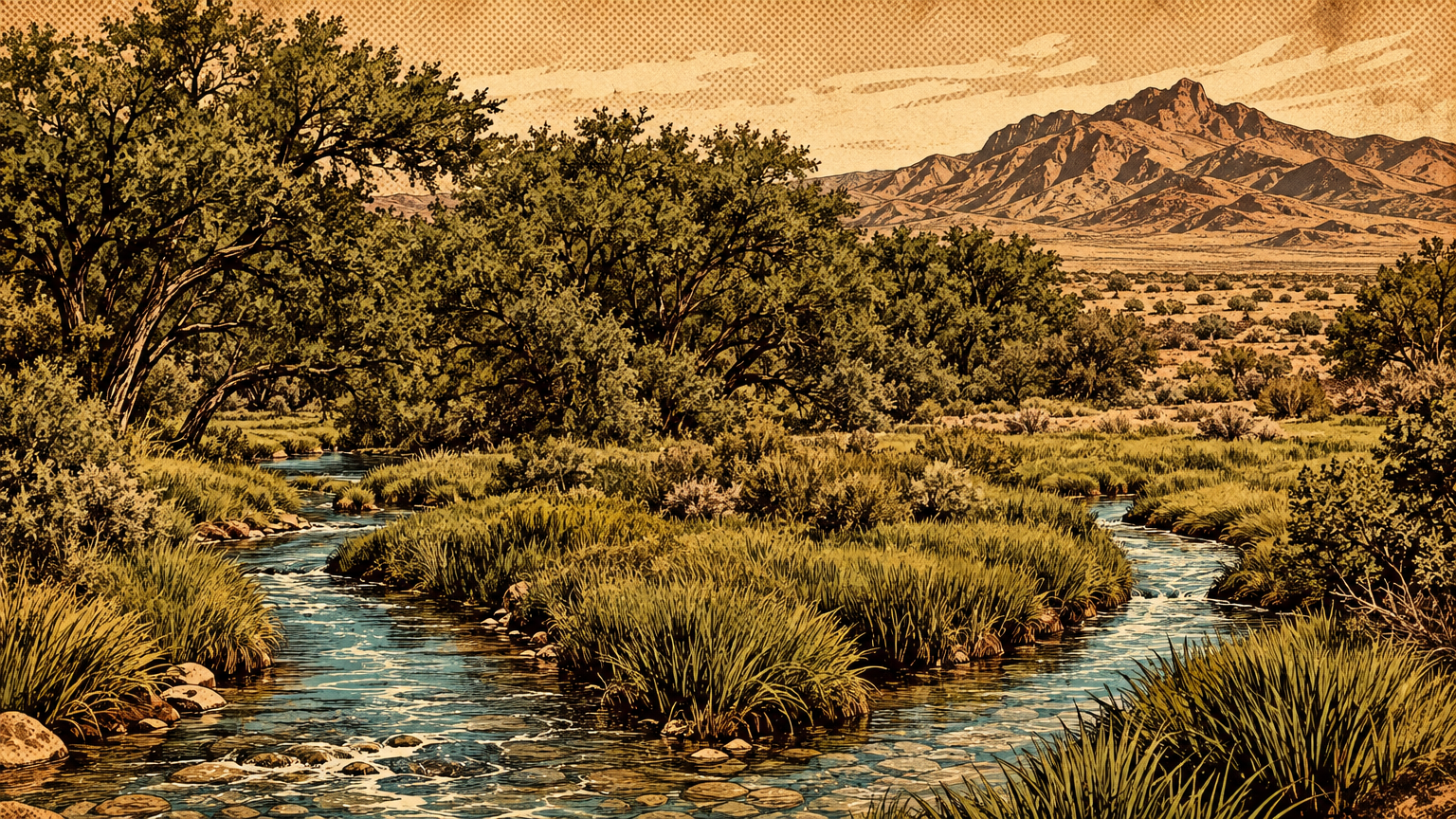
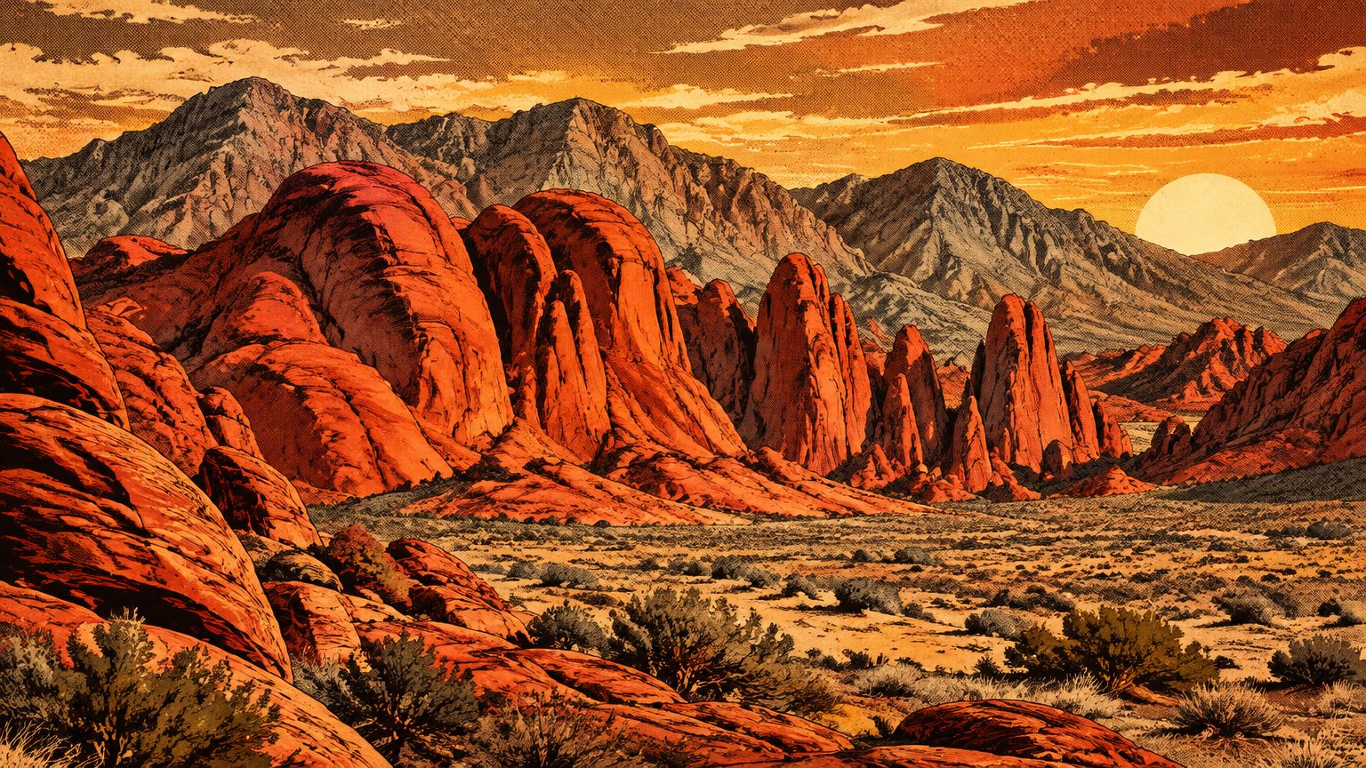
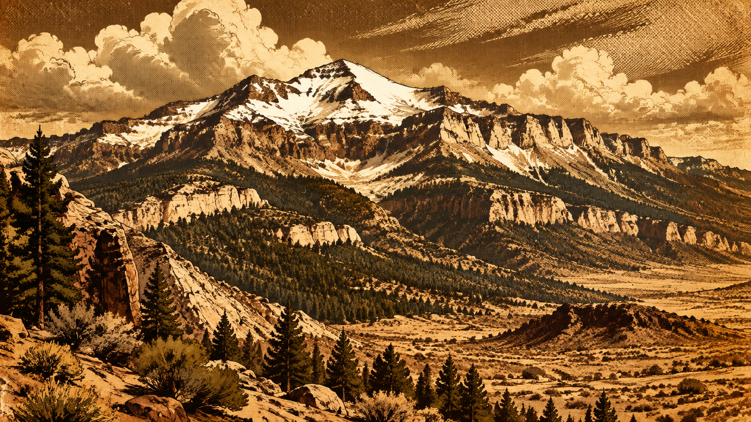
Every route through the southern Mojave had to solve the same problem. Cross too far from a spring and the desert collected its toll, so travelers strung the valley's water together like beads: the great springs on the west side, the creek and wash running east, the Colorado River beyond the mountains, and the high, wet country of the Spring Mountains overhead.
Where the water was, the paths went. Where the paths crossed, a city eventually stood.
Those paths are still here, in a sense. One ten acre parcel on the west side of town still holds the actual ruts of a nineteenth century caravan route, preserved by luck and fenced inside a neighborhood park.
The rest survives as archaeology, old maps, tribal memory, and argument. This is the story of how people moved through the Las Vegas Valley before movement had numbers, and of how much of that story can honestly still be traced.
Before numbered highways
Start with a correction to the picture most of us carry. A trail in the desert was rarely a single line worn into the ground by obedient feet.
It was a corridor, a band of sensible ground between water and water, and inside that band the actual tread wandered with the season, the weather, and the size of the party. Keep that picture in mind. Everything honest in this article depends on it.
Routes between springs and mountains
The valley's first route network belonged to the Southern Paiute, the Nuwuvi, whose homeland this was. The state historical marker at the springs says it in one breath: the meadows were the winter homeland of the Southern Paiutes, who spent the summers in the Charleston Mountains. That single sentence describes a transportation system.
Twice a year, whole communities moved between two worlds, the warm valley floor and the cool high country, and they did it on foot, carrying what they owned.
Archaeologist Claude N. Warren gave the pattern a name: the double loop.
On the valley floor, families gardened beside the springs and harvested the mesquite groves, whose beans could be stored and, in the researchers' phrase, never failed. When the season turned, the loop climbed roughly twenty miles into the foothills of the Spring Mountains, to agave and pine nut country, where the same groves and the same camps were used year after year.
The Forest Service's cultural history of those mountains confirms the rhythm from the other side. Pine nuts were the essential stored food for winter, and winter, back down in the stronger houses, was the season for telling stories. The route network carried calories one way and culture the other, and it ran on memory: named places, ripening dates, and water that had to be exactly where grandfather said it was.
East of the springs, a second corridor ran down the Las Vegas Wash. Clark County's cultural history of the Wetlands Park calls the Wash a travel corridor, a camping locale, and a resource procurement area all at once, and its layered banks hold occupation sequences stacked in order.
Water, game, plants, and a walking route in one green ribbon. In a desert, that is not a path. That is infrastructure.
Trade and travel corridors
The paths did not stop at the valley's edge, and neither did the people. Shells turn up in the artifact deposits at the springs, far from any ocean, and shell in a desert interior gets there one way: on somebody's back, through somebody's hands. The Forest Service describes the exchange networks of these communities as large, and the goods moved along the same corridors as the seasonal round: salt, seeds, baskets, news, and warnings.
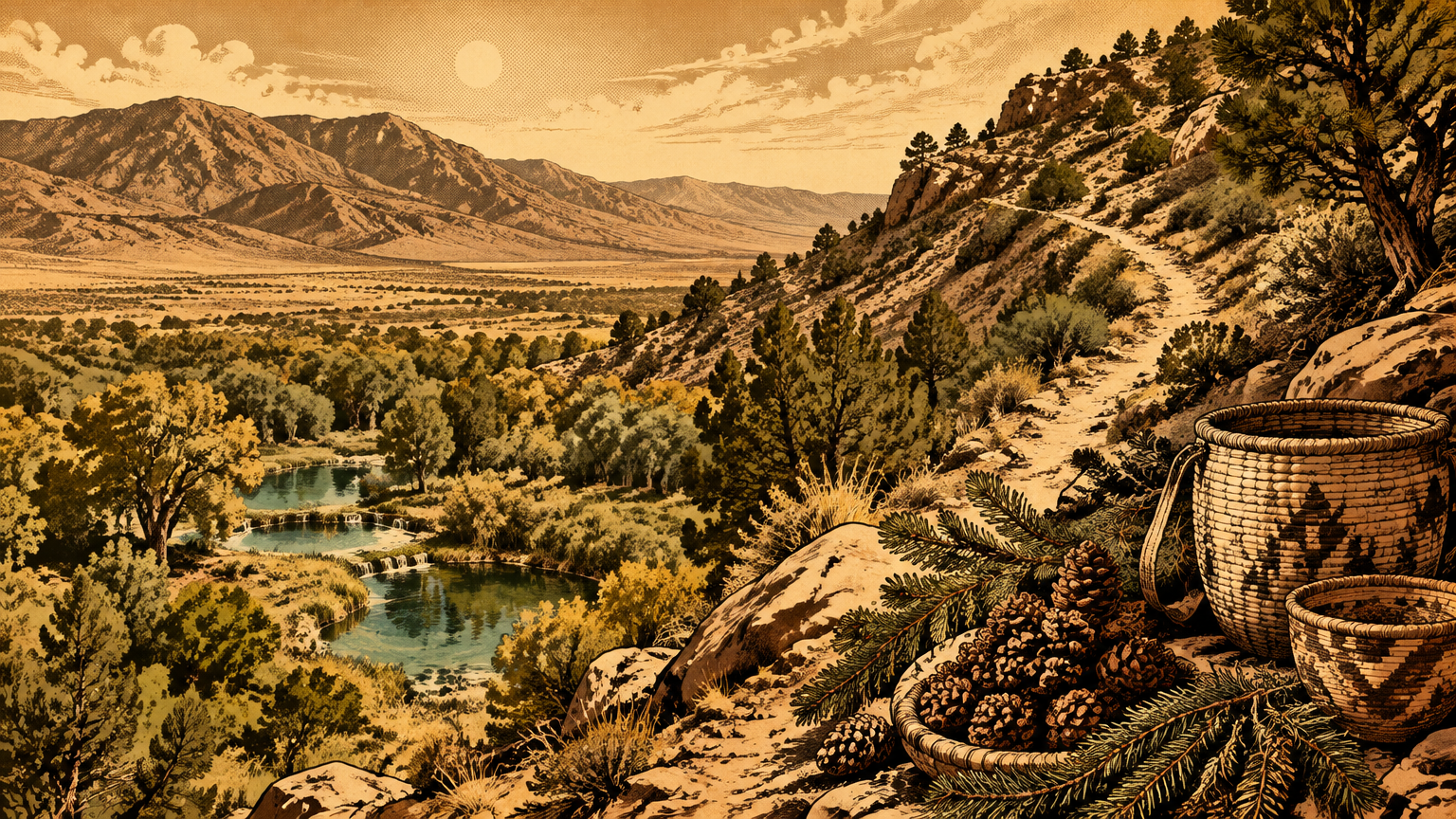
So by the time outsiders arrived, the valley was not a blank. It was a node, tied by worn paths to the Colorado River, to the Mojave country, to the mountains and the basins beyond. The National Park Service says the quiet part out loud on its Old Spanish Trail pages: the historic trail corridors of the Southwest were built on travel corridors initially created by Indigenous people.
The famous routes of the 1800s were not inventions. They were adoptions.
That is the first thing the ground teaches here. Las Vegas was a hub before it was a town, before it was a fort, before it was a name on a map.
The hub came first. The city just moved in.
Tracing what can be known
In November 1829, a Mexican trading party led by Antonio Armijo set out from Abiquiú, New Mexico, bound for California with trade goods and a hundred pack mules. What they were attempting had never been documented end to end: a trade route across the deserts to Los Angeles. What they actually did, mostly, was ask the land the same questions Indigenous travelers had answered centuries earlier, and follow where the water led.
Archaeological sites and historic maps
The party's scout, Rafael Rivera, rode ahead, and the National Park Service credits him with probably discovering the shorter, fifty mile waterless route from the Muddy River to the Vegas spring, along with the spring lined route onward to the Mojave River. Hold onto that word probably. It is the Park Service's own, and it is doing honest work, because Rivera left no diary and the record of his ride is thin.
The main party, meanwhile, came down the Virgin River to the Colorado and camped at the mouth of Las Vegas Wash to wait for the scouts. Read that again, because it matters. The first documented crossing of this valley already had branches: a main line along the rivers, and a scout's cutoff across the dry country to the springs.
There was never a single thread to follow home.
Armijo's caravan reached Los Angeles in January 1830, and the route it stitched together became the Old Spanish Trail, the shorter and more popular road between Santa Fe and Los Angeles. For roughly twenty years, caravans of pack mules worked its various routes, resting at the springs on the way through.
The state's marker at the springs records the rhythm: Armijo stopped at the Springs in 1829 and 1830, and after 1830 the route rested beside the Springs. And it was a pack trail to the end, never a wagon road. Every famous mile of it was walked by mules, not rolled by wheels.
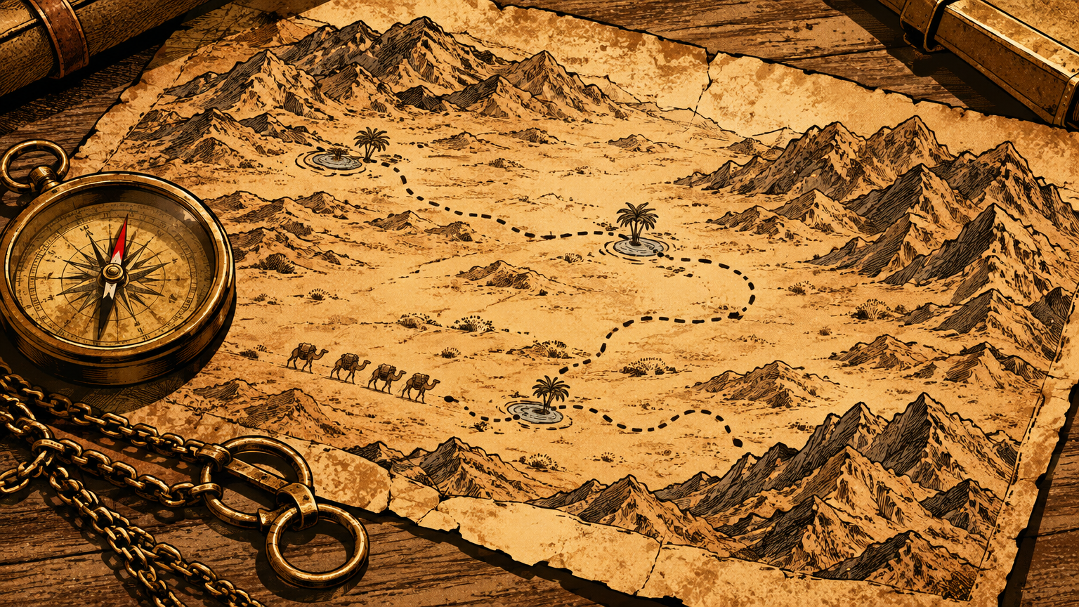
The paper trail thickens in 1844, when John C. Frémont camped at the springs on May 3 and put Las Vegas on an official map for the first time. An interpretive marker across town adds the punchline: in 1843 and 1844, Frémont named both the Great Basin and the Old Spanish Trail itself.
The route was already old when it got its famous name. History's labels usually arrive late, and here we can date the lateness.
The limits of route reconstruction
So can we draw the ancient footpaths on a modern map? Honestly, only in pencil. A campsite can be excavated and dated, and a shell can be traced to a coast.
But a footpath is the most perishable artifact humans make: feet compact a tread that wind, flash floods, and the next thousand travelers erase or overwrite. What survives is evidence of nodes, the springs, camps, and crossings, plus the logic of the land between them. The lines connecting those nodes on any modern map are informed inference, some stretches tight, others a corridor miles wide.
The written record has the same soft edges. The Park Service says probably about the most famous scout ride in valley history. And the one thing the famous naming story gets wrong, it gets wrong completely: Rafael Rivera did not name Las Vegas, whatever the tour scripts say.
The state's own marker credits an unknown Spanish speaking sojourner, and there is no evidence for Rivera in the naming at all. If a fact that simple, that recent, and that beloved cannot be pinned down, imagine the confidence we should bring to a footpath from eight centuries ago.
None of this makes the old routes unknowable. It makes them a different kind of known: certain at the water, probable across the open desert, and honestly blank where the city has since plowed the evidence under. That three level map, certain, probable, and gone, is the truest picture of movement in this valley that anyone can draw.


The city over the pathways
The routes outlived the caravans. Wagon roads inherited the corridors, then auto roads inherited the wagon roads, and the valley's broad line of travel, northeast to southwest, water to water, never really changed.
What changed was the surface. The town arrived with the railroad in 1905, the springs that had anchored every journey stopped flowing by 1962 under the pumps, and the valley floor filled with farms, then subdivisions, then freeways. A footpath cannot compete with a grader.
Roads, development and loss
Stand at the one place the tread survives and the loss comes into focus. In a neighborhood park in the West Sahara area, a ten acre parcel holds actual ruts of the Old Spanish Trail, on the segment that ran from the Las Vegas Springs toward Mountain Pass and the waters of Red Rock Canyon.
The park's own marker explains the accident of survival: for more than 150 years, this ten acre parcel preserved the ruts, and a 1972 aerial photograph still shows the trail's trace cutting diagonally across the land. Ten acres, out of a whole valley of paths. That is the ratio of what is left.
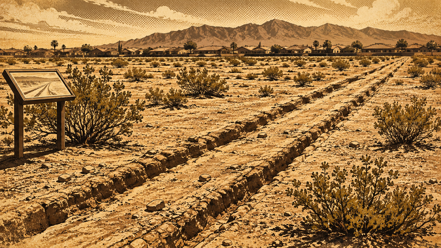
The same park tells the corridor's whole later life on one panel, titled From Old Spanish Trail to I-15: Evolution of a Superhighway. Trail to wagon road, wagon road to the Arrowhead Trail auto route, then US Route 91, then Interstate 15, with Las Vegas, Barstow, and Mesquite still standing as the havens between deserts.
Read it carefully, though. It charts a corridor and a habit: the same water, the same gaps, the same direction of travel. It does not mean your commute overlays an ancient path, and any tour that tells you a specific modern street is an Indigenous trail in disguise is selling you a line the evidence cannot carry.
And the corridors carried harm as well as trade. Another of the park's panels, titled Native People Knew the Old Spanish Trail, presents the pre-Spanish trade networks in detail, and states plainly that the trail's opening increased the kidnapping of Native women and children, sold to ranchers and miners.
The paths were the valley's lifelines and, in the wrong hands, its wounds. Both truths traveled the same ground.
Historic trails worth interpreting
The good news is that this valley interprets its paths better than most cities bother to. Old Spanish Trail Park, at 8150 Tara Ave, Las Vegas, NV 89117, packs an entire outdoor museum into that surviving parcel: panels on the trail through Clark County, on Frémont and his scouts, on children on the trail, and on the Native networks that preceded it all.
Go stand in the ruts. There is no substitute for seeing how faint a famous road can be.
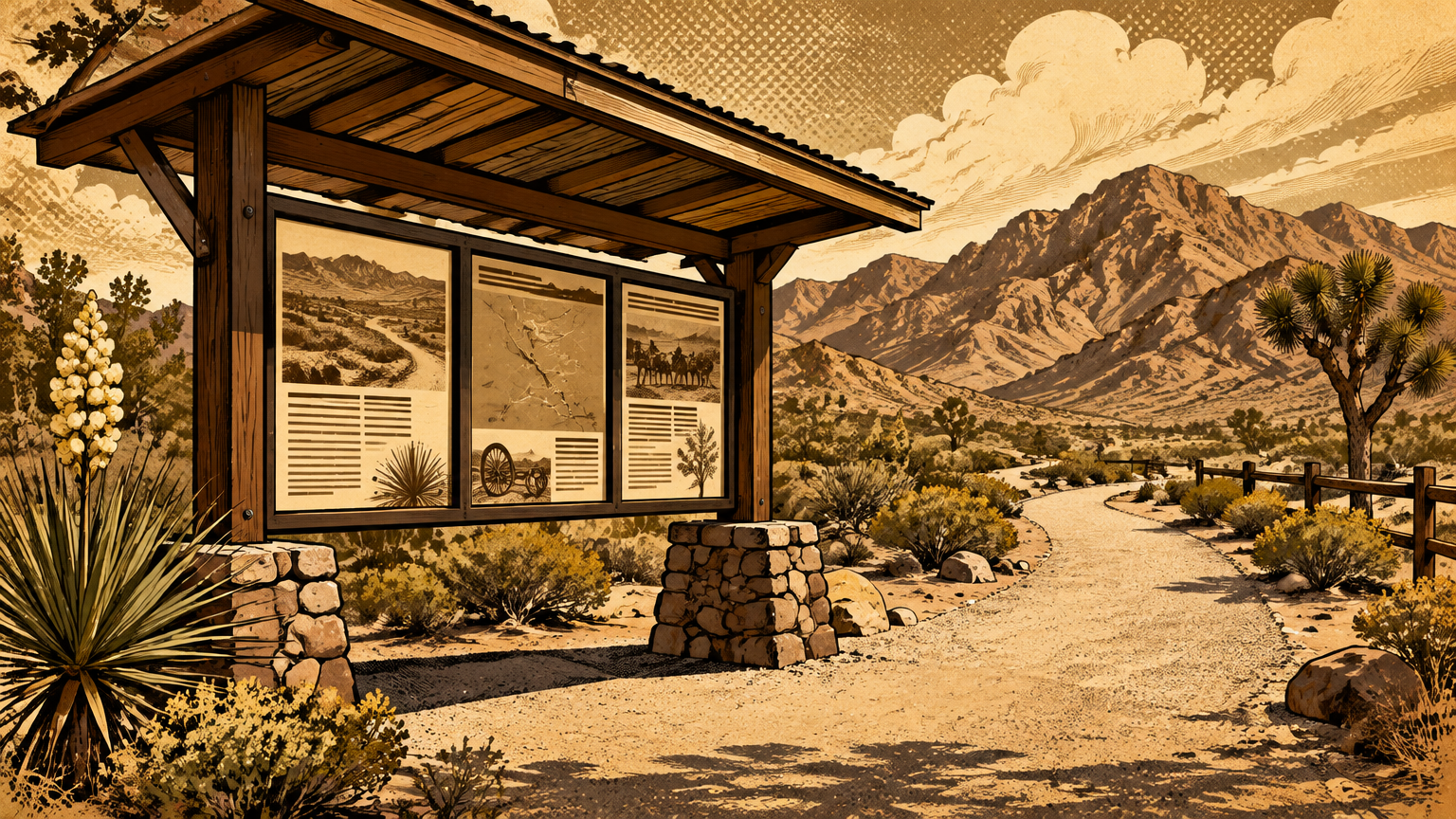
The City of Las Vegas runs the idea forward with its Pioneer Trail, sixteen marked historic sites threaded through the city's oldest streets. Per the city's own trail guide, it runs from Las Vegas Boulevard east of Interstate 15, through Historic West Las Vegas, and out to the Springs Preserve on Valley View Drive, passing the Paiute Colony along the way.
At the Preserve itself, 333 S. Valley View Blvd, Las Vegas, NV 89107, the trails cross the spring mound where the oldest documented journeys in this valley began and ended. Congress closed the loop in 2002, designating the Old Spanish a National Historic Trail, so the corridor now gets federal care along the ground it crosses.
Here is the takeaway to carry onto the street. You cannot walk the ancient footpaths of Las Vegas, not exactly, not anymore. But you can walk their logic: spring to spring, camp to camp, always within reach of water, always pointed at the next valley.
Every era of this city has moved the same way, on the same errands, between the same waters. The neon just made the corridor glow.
Somewhere under the west side of this city, a ten acre patch of desert still holds the ruts of mule trains that were following older paths to older water. The feet are gone. The errands never left.
Next in Vegas, Back Then: The Spring Mountains Before the Skyline.