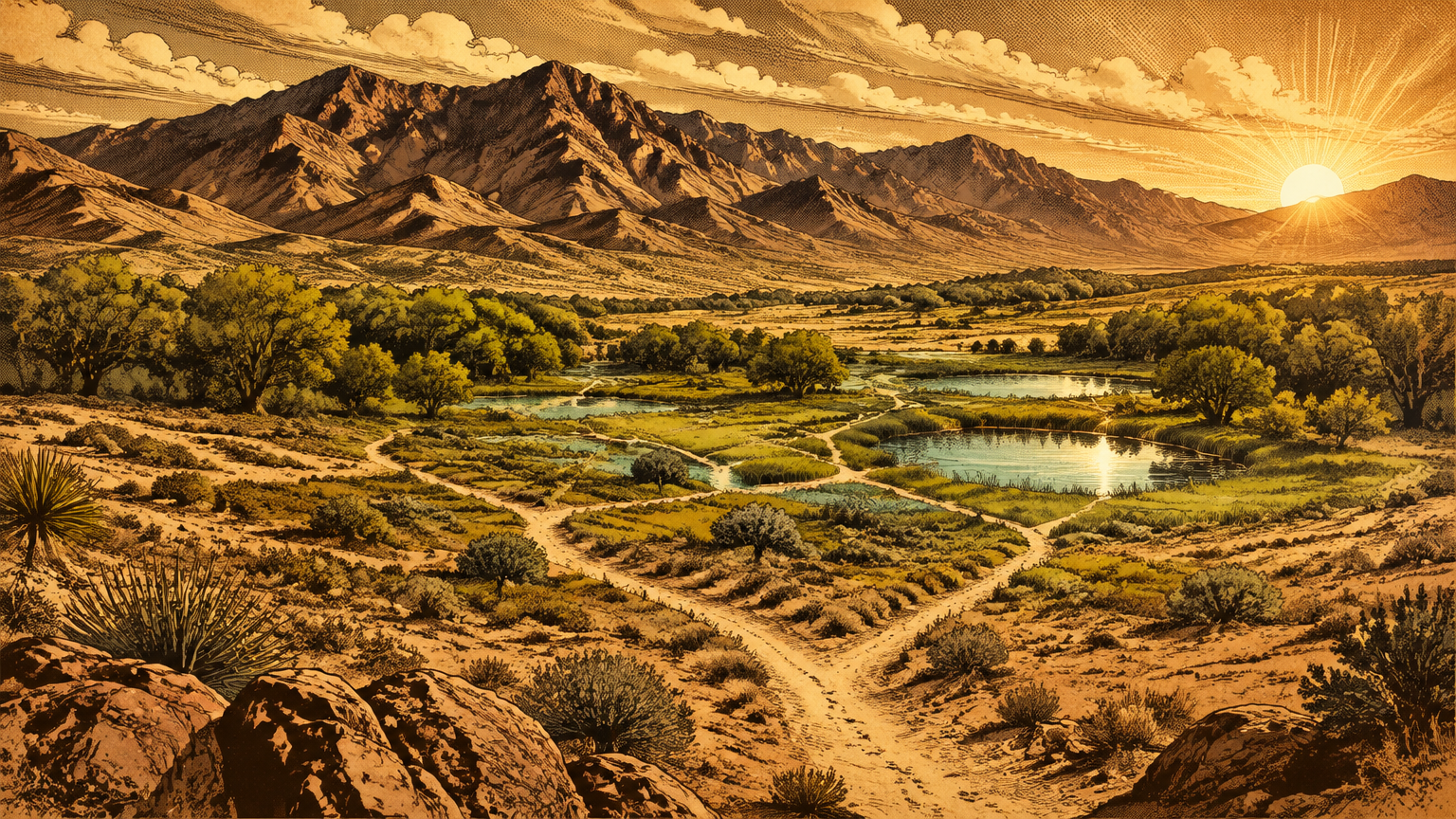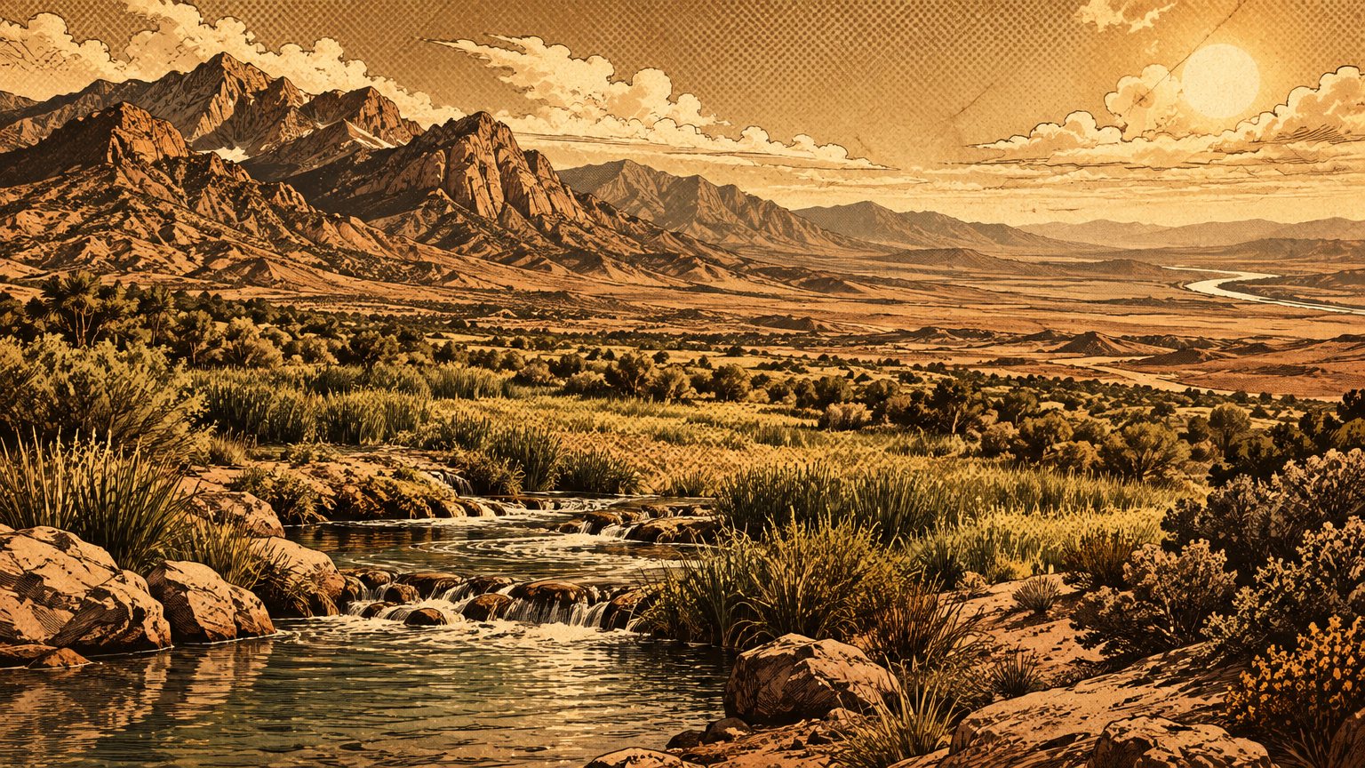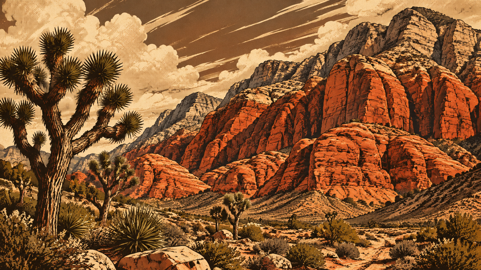
Stand on Charleston Boulevard at the edge of Summerlin and look west. The city stops, and the color starts.
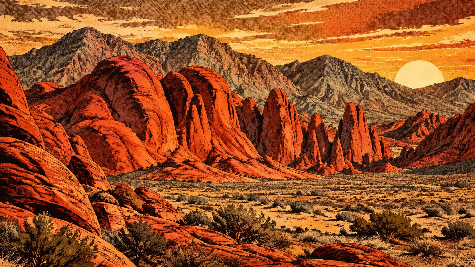
A wall of red rock runs along the foot of the Spring Mountains, seventeen miles from the Strip. Gray stone caps the top of it, red stone fills the face, and the whole wall glows hardest in the last hour of the day.
Today that wall is the front porch of Red Rock Canyon National Conservation Area, and a 13-mile Scenic Drive carries more than three million visitors a year past it. But the drive is the newest thing out there by a wide margin.
Before the road, before the designation, before Las Vegas itself, this was a working landscape. Water hid in its canyons. People returned to it for thousands of years and left their marks in the stone.
The cliffs themselves are older than everything. And they are stacked in the wrong order, which is exactly what makes them worth reading.
Sandstone before tourism
Geologic origin and visible strata
Start at the top of the escarpment, because the top is the oldest part. More than 500 million years ago, this ground lay under a sea.
For more than 250 million years, limey sediment settled on that sea floor. Layer under layer, it piled up thousands of feet thick and hardened into limestone, the gray rock now exposed on the west and north sides of the escarpment.
Then the sea left, and the desert arrived. By about 180 million years ago, an enormous field of sand dunes covered the region, in places more than half a mile deep.
Wind built those dunes the way wind builds them now, one sliding face at a time. The angled layers inside the cliffs, called cross-bedding, are those slip faces, frozen mid-slide.
Buried under later sediments, the sand cemented into stone: the Aztec Sandstone. Iron in the sand rusted as it lithified, and the rust did the decorating, painting the formation red, orange, and cream.
So the wall tells two stories at once. The gray cap is a sea floor. The red face beneath it is a dune sea, a desert turned to stone inside an older desert.
One more event arranged the display. About 65 million years ago, during a mountain-building squeeze geologists call the Laramide orogeny, the Keystone Thrust Fault shoved the older gray limestone up and over the younger red sandstone.
That is why the stack looks backward. The fault is exposed for about 13 miles along the escarpment, and it is one of the most readable thrust faults in the country: old rock on top, young rock below, a red line where they meet.
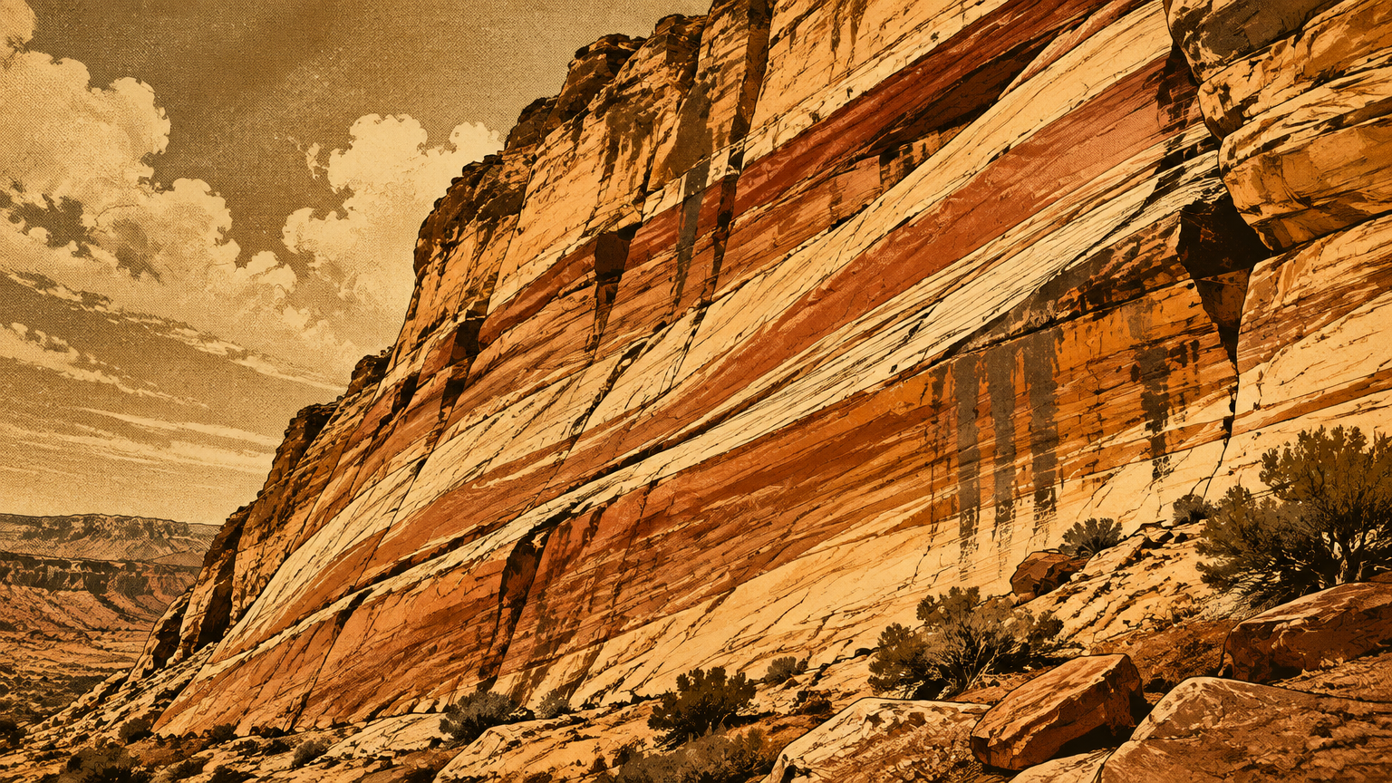
The stone even kept footprints. Paleontologists have confirmed fossil dinosaur tracks in the sandstone, made some 180 to 190 million years ago, the first documented dinosaur tracksite in Nevada.
Something walked across those dunes and the mud of the moment kept the receipt. The Bureau of Land Management does not publish exactly where, and neither do we.
Water and desert ecology
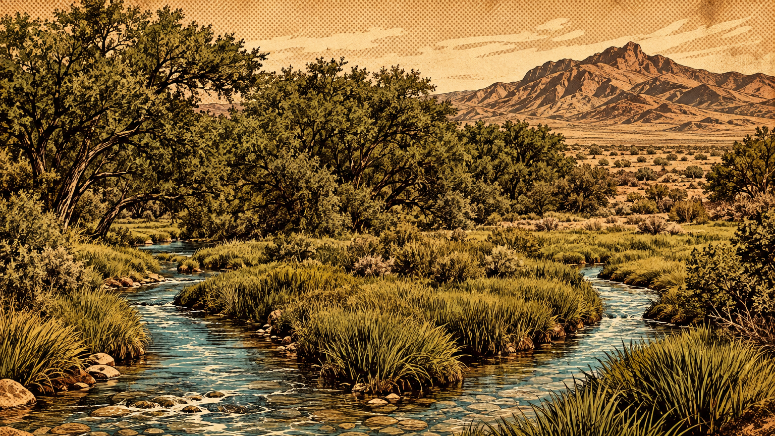
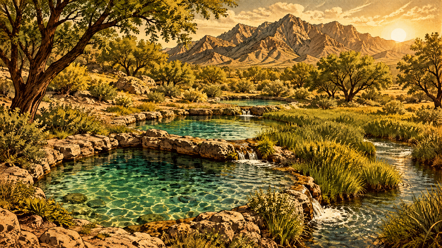
Red rock country looks dry enough to file under hopeless. It is not. The conservation area holds more than 40 springs.
The sandstone itself is part of the plumbing. Water moves through the porous rock, gathers in the recesses of the side canyons, and surfaces where the stone tells it to.
Slip into Pine Creek Canyon or Ice Box Canyon on a hot afternoon and the trade is obvious. Shade, cold air pooling under the walls, seasonal waterfalls after storms, and green that has no business growing in the Mojave.
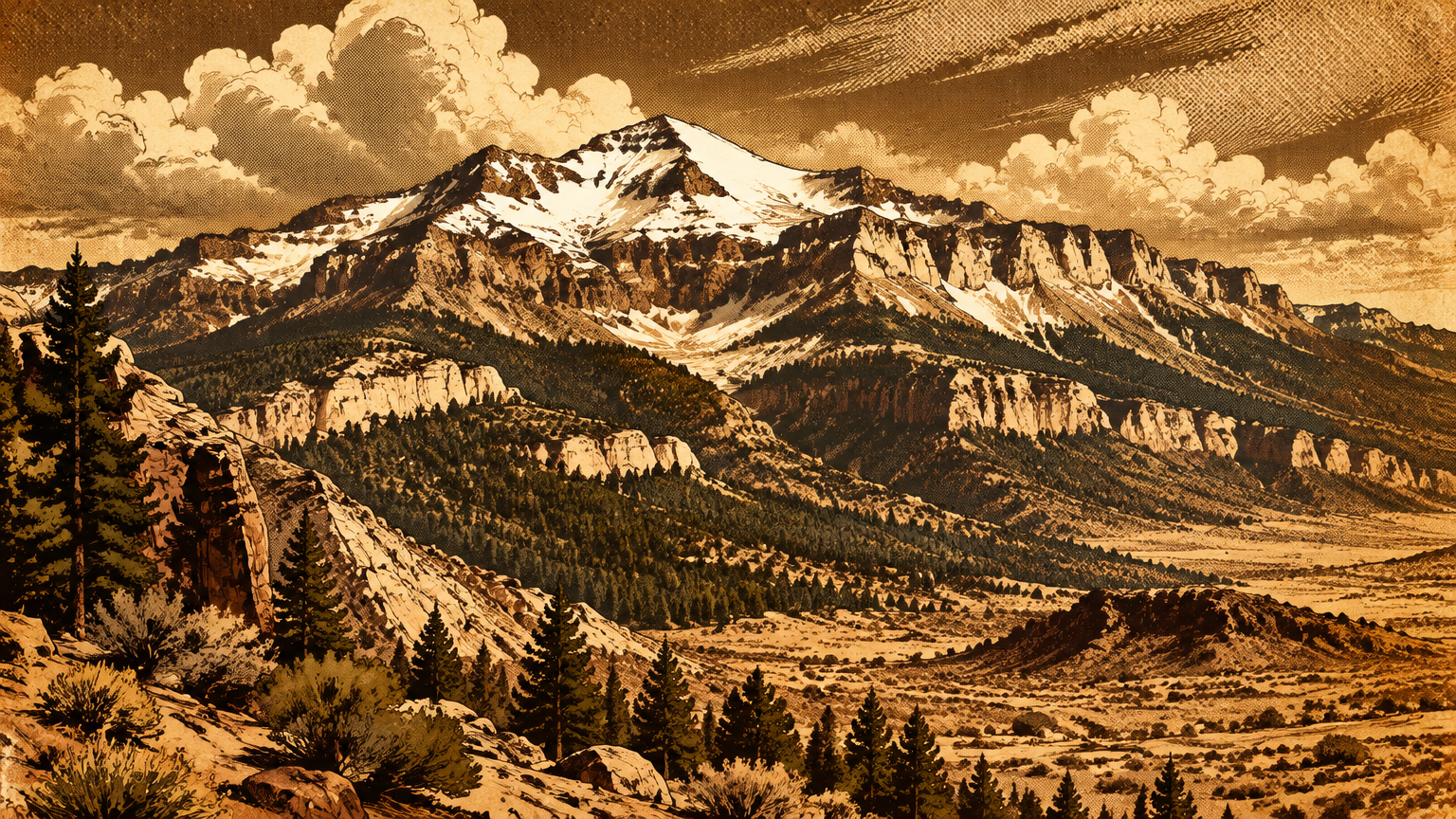
About 600 plant species are known across the conservation area. Joshua trees and creosote hold the valley floor, while ponderosa pines take over higher up where the canyon country climbs toward the Spring Mountains.
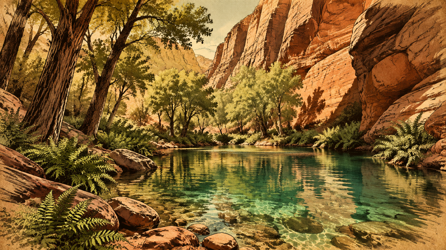
That vertical range is the whole trick. In a short climb you pass through several living zones, each one stocked with plants and animals the others cannot support.
For anything that lives in a desert, that menu matters. For people moving through it on foot, it mattered more.
People and place
Petroglyphs and archaeological evidence
The first people who used Red Rock were not sightseeing. They came for the same inventory the wildlife uses: water, plant foods, and game, all concentrated in one reliable place at the desert's edge.
As many as six different Native American cultures may have used the conservation area over the millennia. The record runs from much older Archaic, or Desert Culture, hunters and gatherers to the historical Southern Paiute, who were still here when the first non-Indians crossed southern Nevada.
They traveled light and far, in small mobile groups following ripening plant foods across a huge territory. Red Rock, with its springs, was an important stop on that seasonal round.
What survives is the durable stuff. Agave roasting pits are among the most common cultural resources in the conservation area, ringed features where agave hearts were slow-cooked in the earth. Several sit at the Willow Spring picnic area, including one of the largest in southern Nevada.
And then there is the rock itself. Rock art here comes in two kinds: petroglyphs, pecked into the surface, and pictographs, painted on it.
Many panels sit on stone coated in desert varnish, the dark stain that builds on exposed rock over long ages. Peck through the varnish and the lighter stone underneath shows through, which is why the designs still read after centuries.
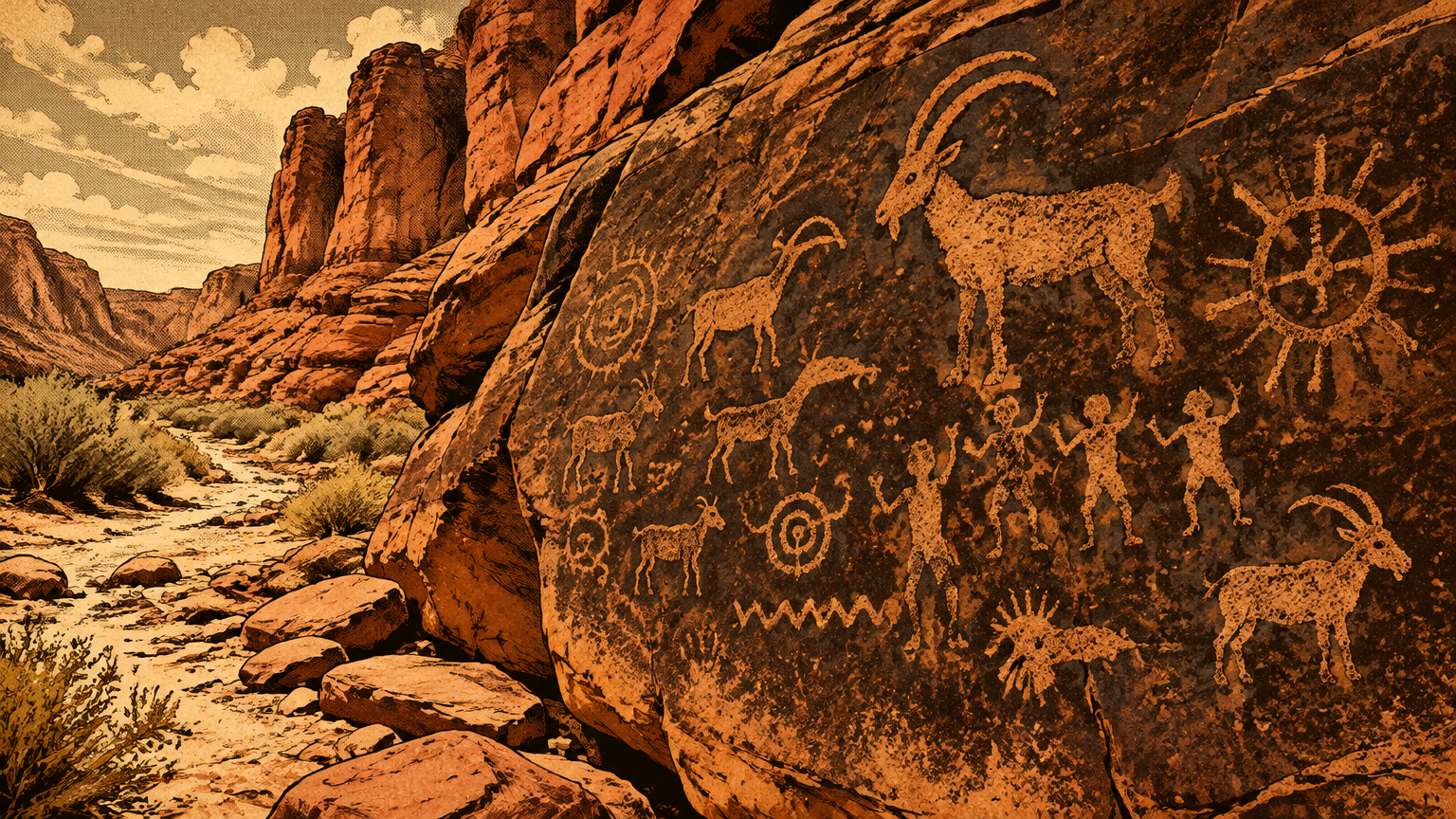
The Bureau of Land Management interprets a few of these places openly, and they are the only ones this article will name. At Willow Spring, a short paved trail leads to a roasting pit and a rock shelter with rock writing, both signed.
A few minutes away, the Petroglyph Wall Trail, about a tenth of a mile, ends at a panel the BLM describes as spanning hundreds or possibly thousands of years of occupation. Red Spring, outside the Scenic Drive, carries a wide variety of petroglyph styles on its cliff faces and fallen boulders.
Every other site stays unnamed here on purpose. The most respectful thing a visitor, or a writer, can do with a fragile place is admire the ones that were opened for admiration and leave the rest in peace.
Indigenous cultural significance
It would be easy to tell this as a story about ruins. It is not one. The Southern Paiute connection to this landscape is a living one, and the archaeological record is their family archive.
The BLM's cultural chronology for southern Nevada places the Southern Paiute from about AD 900 to modern times. The same chronology lists the Patayan culture across roughly the same span and an Ancestral Puebloan presence from about AD 1 to 1150, and it labels its own dates approximate and open to debate.
That honesty is worth copying. What the evidence proves beyond argument is presence and return: generation after generation choosing this water, these plants, these canyon walls.
What it does not hand us is a translation. Nobody can stand in front of a petroglyph panel today and read it like a headline, and any source that claims otherwise is selling something.
The designs mattered to the people who made them, in a homeland they understood in detail. The record we inherit shows the depth of that relationship, not its dictionary.


Protection and visitation
Historic designation milestones
For most of the twentieth century, Red Rock was simply the backdrop: the red wall Las Vegas saw every evening and mostly drove past. The young city did take one thing from it directly, building stone, cut at a sandstone quarry that operated from 1905 to 1912, where worked blocks still sit beside the modern drive.
Federal protection arrived in stages. In 1967, the Bureau of Land Management designated the Red Rock Recreation Lands, the area's first formal recreation status.
The big step came in 1990. Legislation backed by Nevada's congressional delegation converted the Recreation Lands into a National Conservation Area, the seventh designated in the nation and the first in Nevada.
That status did two practical things. It locked the landscape's purpose to conservation and recreation together, and it provided funding to protect and improve the area.
Later legislation, in 1994 and after, widened the boundary to roughly its present size, about 198,000 acres of Mojave Desert. The red wall had gone, in one generation, from quarry and backdrop to the most protected landscape in the valley's front yard.
Respectful interpretation of fragile sites
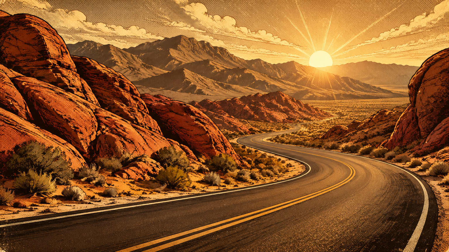
Today the visit runs on rails the old travelers would not recognize. The Scenic Drive is a 13-mile, one-way loop, and the visitor center at its start, at 1000 Scenic Loop Drive, Las Vegas, NV 89161, is where the BLM and its nonprofit partner, Southern Nevada Conservancy, teach the place before you enter it.
Popularity now needs managing. From October 1 through May 31, timed entry reservations are required for the Scenic Drive between 8 AM and 5 PM, booked through Recreation.gov, a small piece of planning that keeps the canyons from loving themselves to death.
The etiquette for the old places is simpler, and it has not changed since the first archaeologists arrived. Look all you want. Photograph all you want.
Never touch rock art, because the oils on a hand damage panels that survived a thousand years of desert weather. Never take or move an artifact, and never stack, scratch, or mark the stone.
The roasting pits, the panels, and the quarry blocks are not leftovers. They are the archive itself, stored outdoors, and every visitor is a temporary librarian.
Red Rock's whole biography fits in one view from the valley floor. A sea floor on top, a dune sea in the middle, a fault that stacked them backward, and springs that pulled people back to the same canyons for thousands of years.
Las Vegas built its name on the new. Its oldest neighbor kept the receipts for everything that came before.
Next, the roadmap of this series trades red sandstone for redder: Valley of Fire Before It Became a State Park, where the rock art is denser, the sandstone older still in story, and Nevada's first state park has its own beginning to explain.