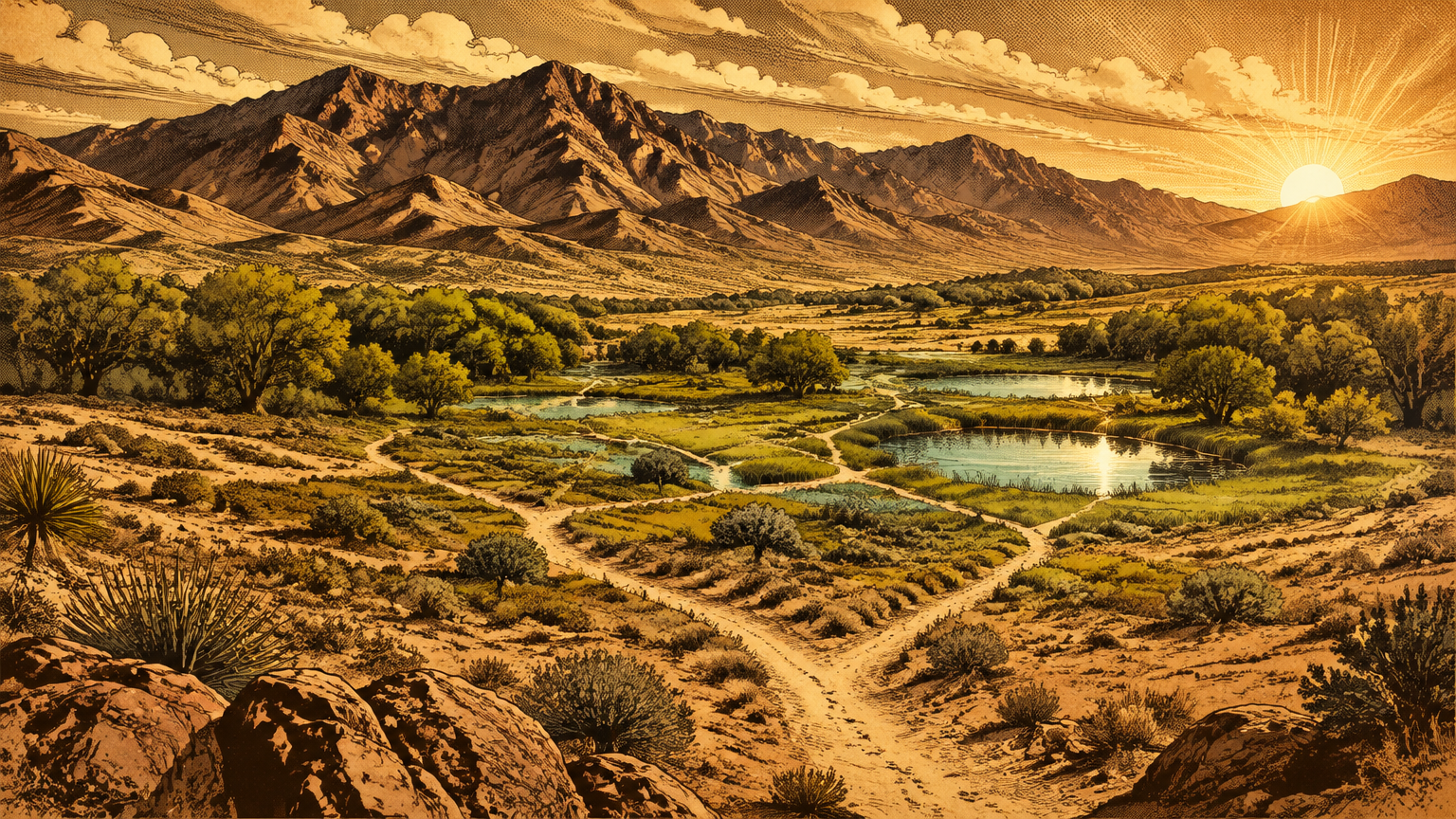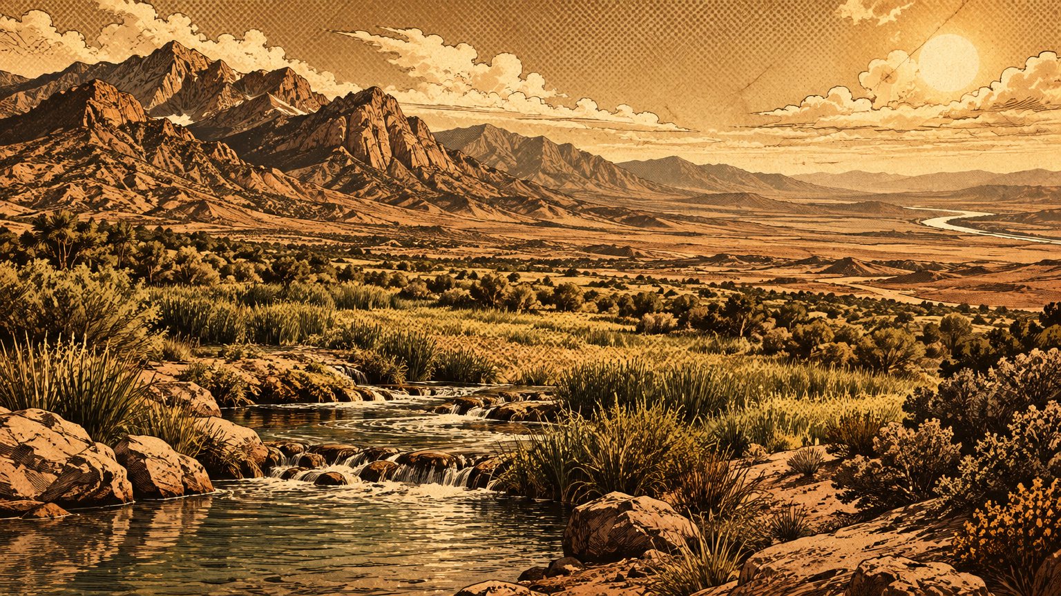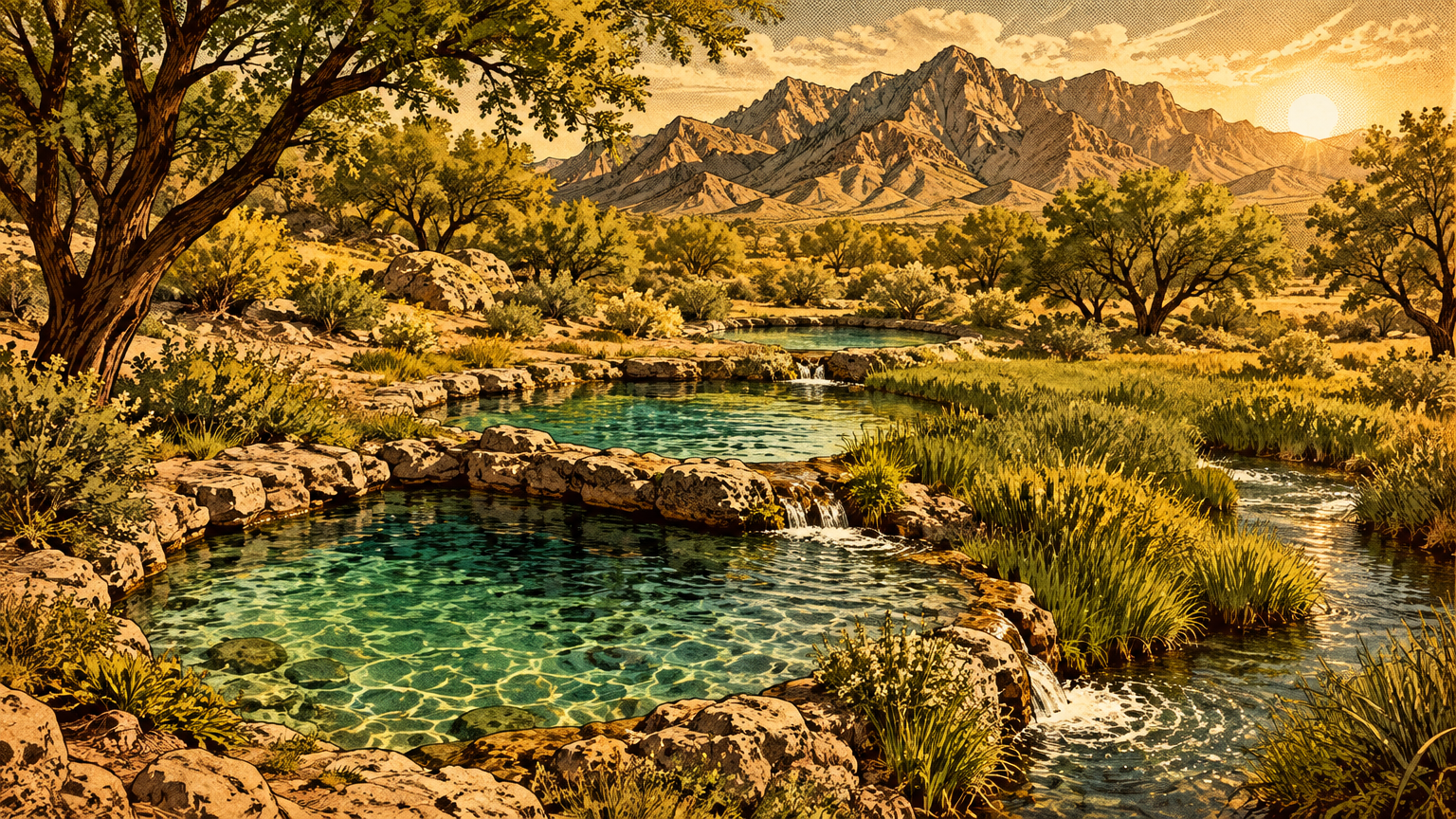
Start with the name, because the name is the whole story. Las Vegas means "the meadows," and meadows do not happen by accident in the Mojave Desert. They happen when water rises out of the ground on its own, day after day, century after century, in a place dry enough to kill you for walking into it unprepared.
The Las Vegas Springs were that water: three springs, a running creek, and a belt of wet green ground in the middle of one of the driest valleys in North America. Everything that ever lived in this valley, from mesquite trees to mammoths to the city itself, organized its life around them.
This is the story of how that lifeline worked. Not the town it founded; that story has been told. This one is about the machine underneath the meadow: where the water came from, what it fed, how people managed it, and what happened when a growing city drank faster than the desert could refill the tank.
How the springs worked
Artesian groundwater explained
The springs started as weather, far from the valley floor. The Spring Mountains, the high wall west of the city, catch more than 24 inches of rain and snow in a year. The valley floor below them gets under four inches.
That mountain water does not all run off in floods. Much of it soaks into the ground at the mountain front and along the big gravel fans. From there it travels down and outward into the thick sediments that fill the valley, a buried reservoir thousands of feet deep in places.
Here is the part that made Las Vegas possible. As the groundwater moved toward the low end of the valley, it slid between layers of clay and silt that water can barely pass through. It became confined, sealed in under pressure like water in a squeezed bottle.
Then the plumbing hit an obstacle. Faults, cracks in the valley fill where the earth has shifted, acted as nearly watertight barriers and blocked the water's sideways path.
Pressure with nowhere to go does one thing. It pushes up.
The Geological Survey's classic study of this basin says it plainly: artesian pressure forced the water to leak upward along the faults, into the shallow ground above. At the Las Vegas Springs, it reached daylight.
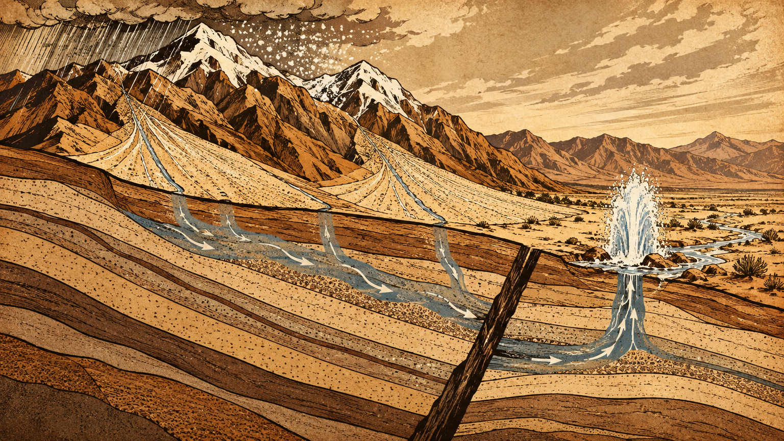
That is why the springs never needed a pump, a bucket brigade, or luck. They were the overflow valve of a pressurized system fed by mountain snow. The first wells drilled in this valley did not need pumping either.
Sink a pipe into that confined water and it rose on its own, sometimes gushing above the surface entirely. Geologists call that artesian flow. For thousands of years, the springs were simply where the artesian system surfaced by itself.
Channels, soils and grasses
Three springs did the surfacing: the Big Spring, the Middle Spring, and the Little Spring, all on the ground now held by the Springs Preserve. They were not decorative. State Engineer records put the Little Spring alone at 2,700 to 3,150 gallons a minute in 1908, which works out to roughly four million gallons a day from the smallest of the three.
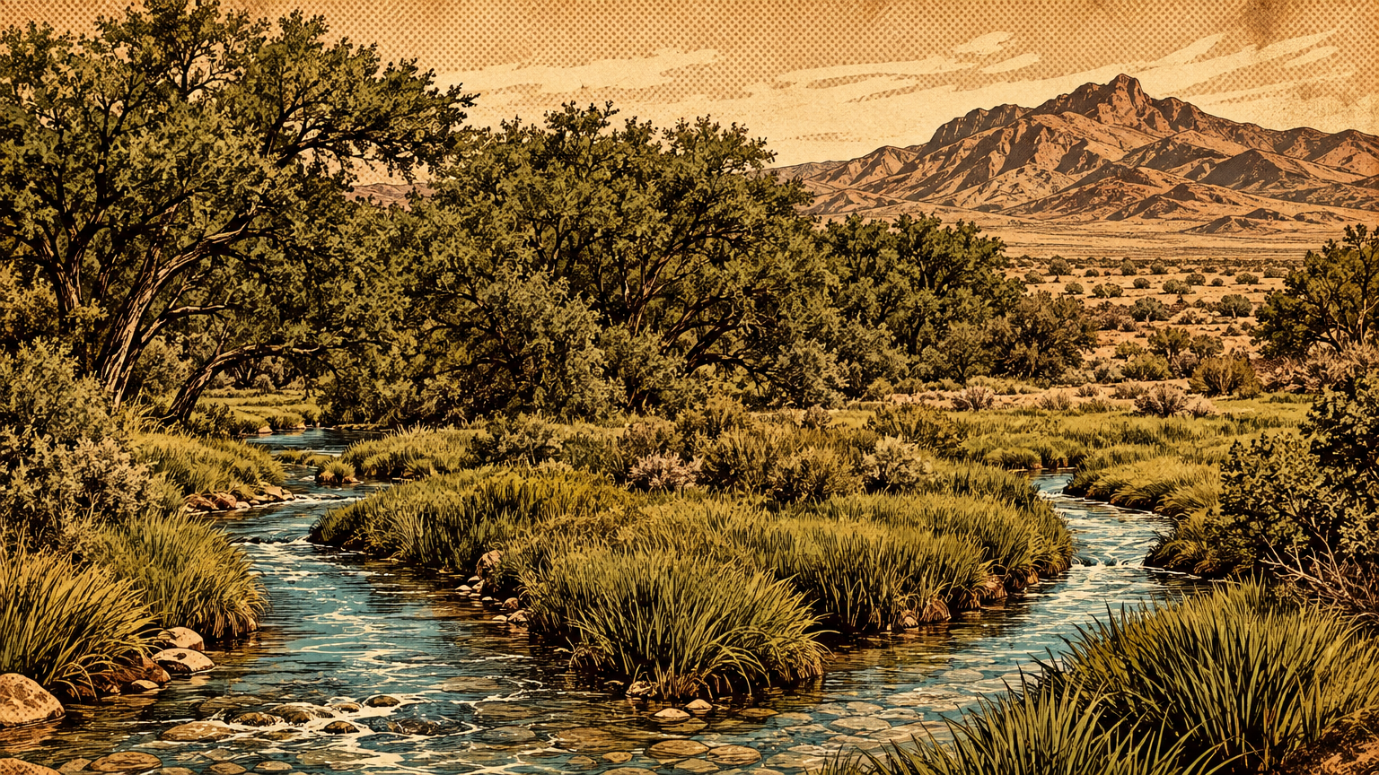
Together, the springs poured out a small river, and the river had somewhere to go. Las Vegas Creek carried the water east across the valley floor toward the Las Vegas Wash. It braided into channels through ground that stayed soaked while everything around it baked.
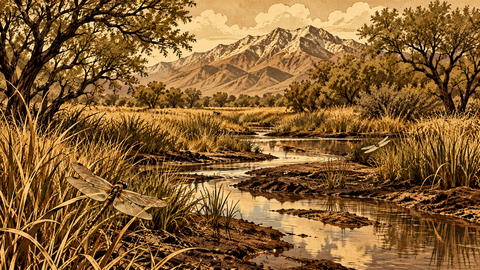
Wet ground in a desert is a factory. The water spread into the soils around the springs and creek, and the soils answered with grass. The state's own historical marker at the site describes a natural oasis of meadow and mesquite forest.
Travelers on the desert trails planned their survival around it. Wagon trains camped at the springs, and their livestock drank at the creek and fed on the meadow grasses. In a valley with under four inches of rain, the springs maintained a permanent pasture, a permanent water supply, and a permanent address.
Every route across this desert, human and animal alike, bent toward that address.
The web of life
Plants, animals and seasonal resources
Open water in the Mojave is never just water. It is a calendar. The meadows around the springs greened up and held through the year, and the mesquite groves produced beans that could be gathered, ground, and stored against lean months.
The creek corridor gave the valley a ribbon of shade and forage in every season. The Southern Paiute seasonal pattern recorded by the state's marker ran on exactly this reliability. The meadows were the winter homeland, with summers spent in the cooler Charleston Mountains, because the springs could be counted on when the people came back down.
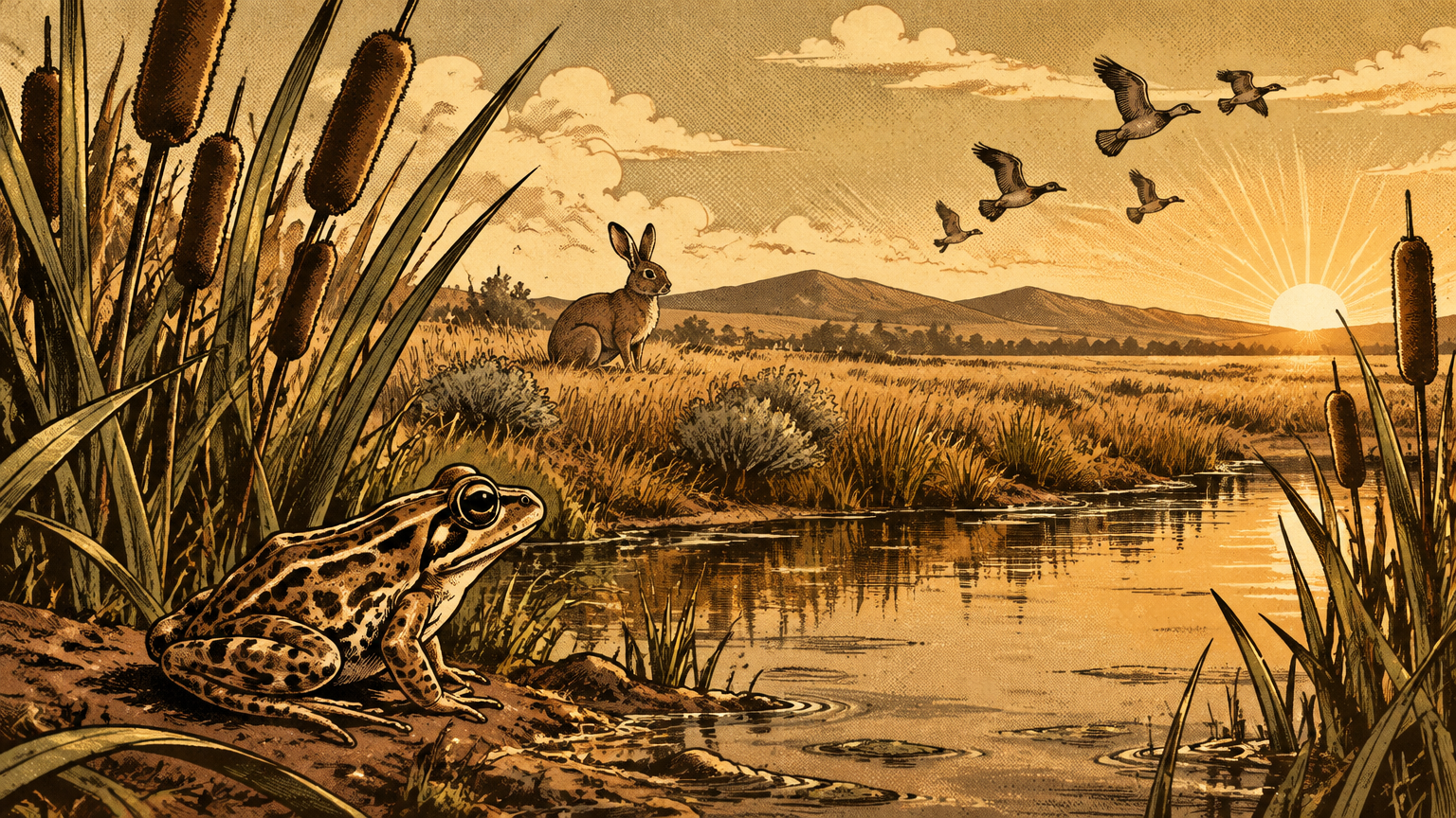
The wild residents counted on it too, and some of them lived nowhere else. The spring pools and the creek held fish and frog populations entirely dependent on the spring water, in the words of the water authority's own restoration report. The most famous of them is a small spotted frog.
The Vegas Valley leopard frog lived only in this valley's springs, streams, and seeps, and it was last recorded in 1942. The IUCN Red List now lists it as extinct, and names the cause without flinching: habitat loss from spring capture and groundwater pumping by the growing city, made worse by introduced bullfrogs. A species that survived ice ages in this valley did not survive the valley's plumbing bills.
Hold the scale of that web in mind, because it is the real measure of the springs. One pressurized aquifer, leaking upward along a fault, held together meadow grass, mesquite forest, frogs, fish, winter villages, wagon camps, and eventually a railroad town. Pull the pressure out of the system, and every strand of the web feels it at once.
That is not a metaphor. It is what the rest of this story documents, date by date.
Human management and use
People did not just visit this water. They managed it, in waves, and each wave managed it harder than the last. Indigenous peoples built gardens and small settlements near the springs and washes, and the Pueblo peoples, the Patayan, and the Nuwuvi used the springs and the creek until Euro-American ranching arrived in the 1860s.
The springs then became a major campsite on the Mormon Road, the desert highway of its century. A wagon route lives or dies on reliable water exactly as much as a frog does.
The ranch era turned use into ownership. In 1872, Octavius Decatur Gass filed on most of the water from the springs. By 1878 he owned all the land the creek watered.
Helen J. Stewart, who ran the ranch after him, sold it in 1902 to Senator William Clark's railroad, land and water rights together. The railroad needed the springs for its steam locomotives and its new town. The railroad's Las Vegas Land and Water Company built the valley's first water distribution system, laid redwood pipes, and put protective houses over the springs to keep people and cattle out of the supply.
Read that progression again, because it is the whole arc in miniature: gardens at the water's edge, then water filed as property. Then the springs themselves fenced and roofed as infrastructure.


The altered landscape
Urbanization and declining aquifer levels
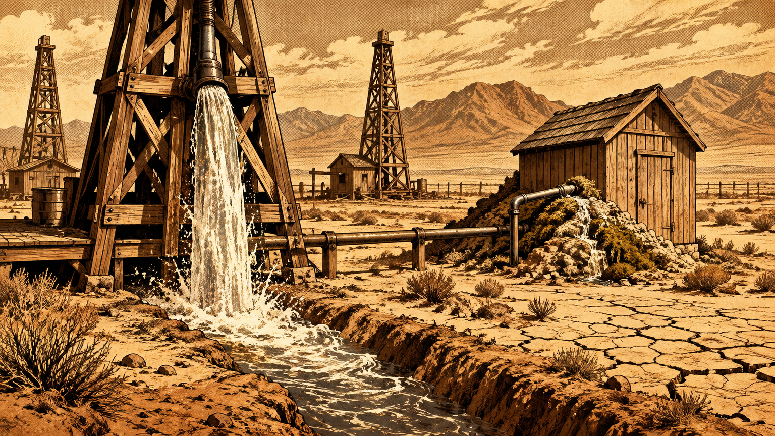
The wells started in 1907, and the trouble started with a detail that sounds like a gift. Because the aquifer was pressurized, a drilled well often flowed on its own, and many owners simply never capped theirs. Water gushed day and night, used by no one, straight out of the same confined system that fed the springs.
The Springs Preserve's history is blunt about the result: the waste helped deplete the groundwater so fast that within about 40 years the Nevada State Engineer declared Las Vegas overdrawn. People at the time, the Preserve notes, did not understand where the water came from or why it came out with such force. They thought the supply was endless.
The springs began losing the contest in public. The water company drilled its first well near the springs in 1924 to keep up with demand. In the summer of 1935, Las Vegas Creek dried up, leaving the Stewart ranch without irrigation water.
In 1936 the company drilled a second well directly into the spring mound itself, pumping the lifeline to save the town it had created. By 1950 the valley held about 41,000 people, and groundwater use had climbed to 35,000 acre-feet a year. That was past the low estimate of what nature returned to the aquifer annually.
By 1960 there were nearly 3,000 wells in the valley. More than half of all the groundwater pumped came from fewer than 25 wells within a mile of the springs, and water levels were falling two to four feet a year. The ground itself started to sink and crack.
The Geological Survey records nearly six feet of subsidence near North Las Vegas across the decades after 1935, with earth fissures opening along the faults. In 1962, the Las Vegas Springs stopped flowing altogether.
Notice what did not happen in 1962. No single villain drained the springs in a night. A pressurized system that had leaked upward for millennia simply lost its pressure, a few feet of water level at a time, to thousands of reasonable decisions made by people who each needed water.
The meadows dried. The creek became a memory and then a flood channel. The city the springs created switched to a river a state away, and when the Southern Nevada Water System began delivering Colorado River water in 1971, the divorce was official.
Finding the historic springs footprint
The footprint survived by a whisker, and the whisker was paperwork and protest. In the 1970s the transportation department planned to run an expressway over the spring site. A 1972 archaeological survey by UNLV's Claude Warren documented long-term human occupation of the ground, and the fight that followed rerouted US 95 around it.
In 1978 the Las Vegas Springs were listed on the National Register of Historic Places as an archaeological site. That is the law's way of saying the ground itself is the document.
You can walk that document today. The Springs Preserve, 180 acres on the spring site a few miles northwest of downtown, opened in June 2007. Its trails cross the spring mound and the creek corridor where the water once ran.
Since 2003, restoration crews have been rebuilding native plant communities and wildlife habitat there. They are replanting the wet ground and restoring habitat ponds along Las Vegas Creek, a partial rebuild of the web this article describes. Underground, the story has one quiet modern twist.
Since the late 1980s, the water district has banked treated Colorado River water in the same aquifer, storing the city's insurance policy in the old reservoir. The pressure has never come back far enough for the springs to flow again. The lifeline holds the city's water once more, only silently now, the way it did for all the centuries before anyone thought to give the meadows a Spanish name.
The neon came later. Before it, there was pressure under a desert valley, water rising along a fault into daylight, and a green mile of meadow that everything with a heartbeat for fifty miles planned its life around.
Las Vegas did not begin with gambling, or with a railroad, or with a dam. It began with groundwater that refused to stay underground.
Next in Vegas, Back Then: The Southern Paiute Homeland That Predates Las Vegas.