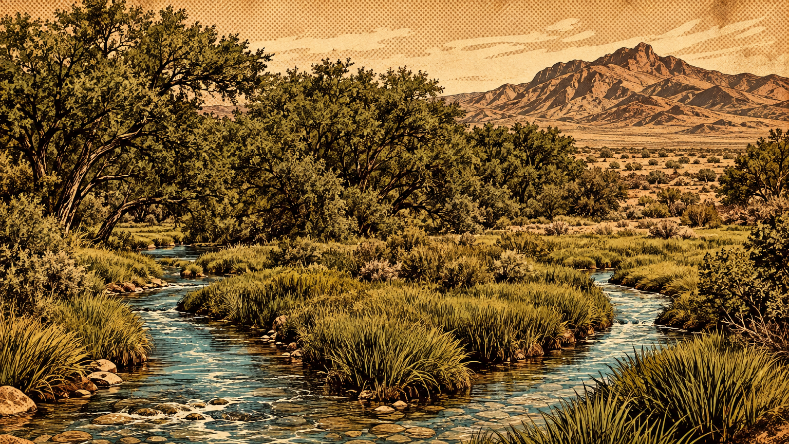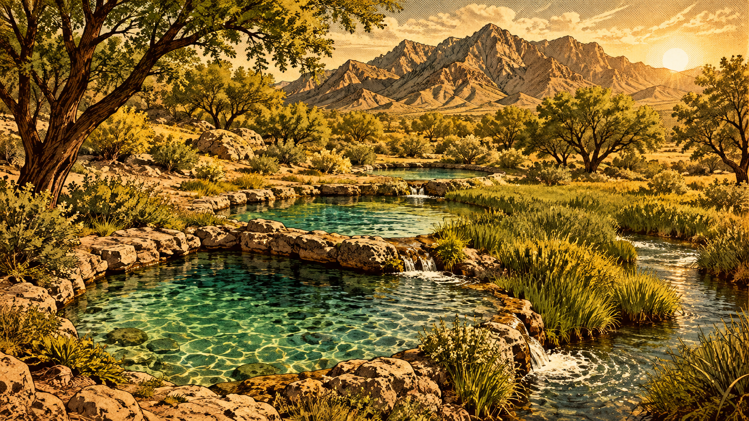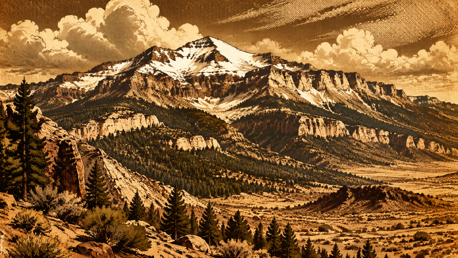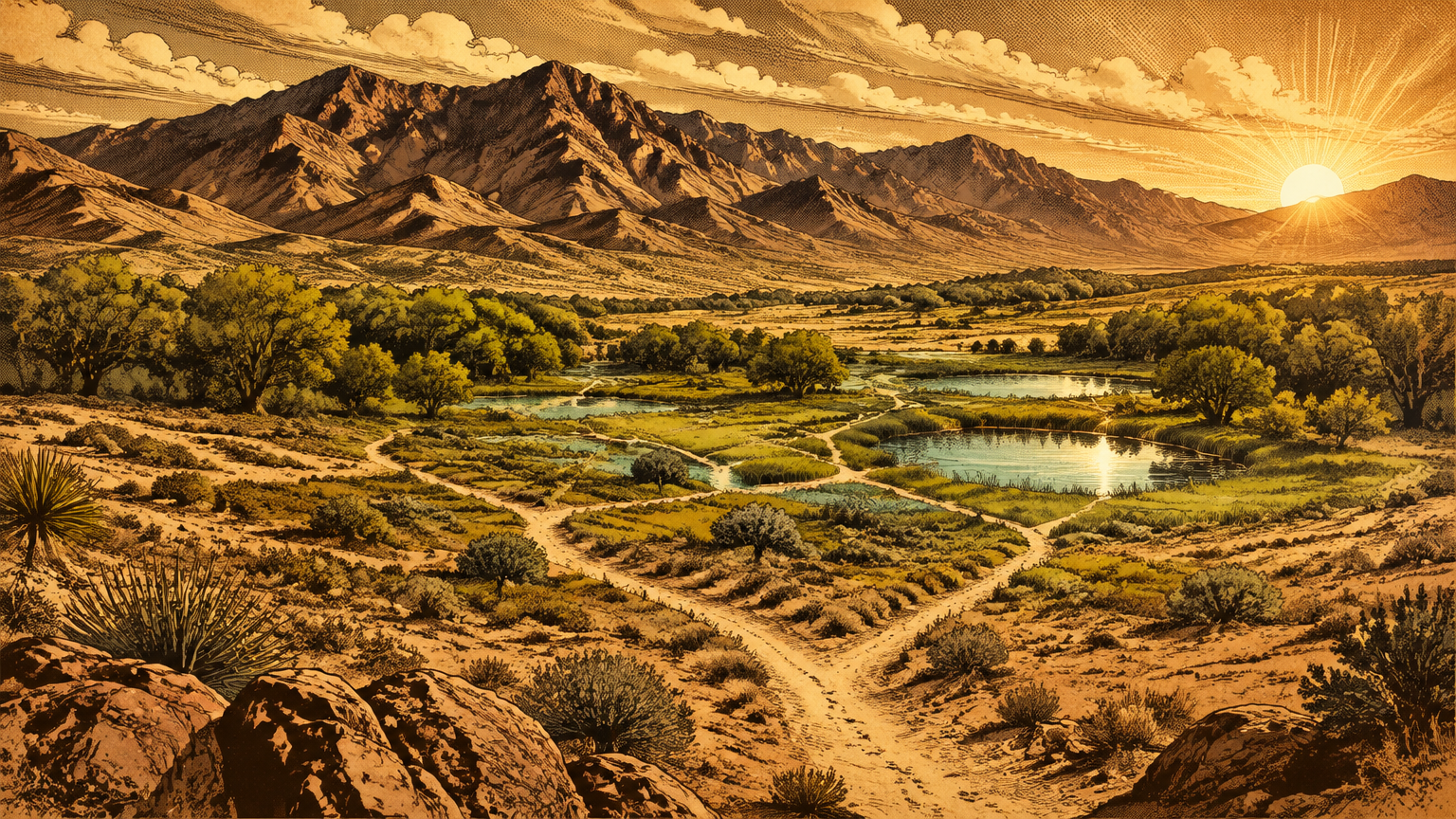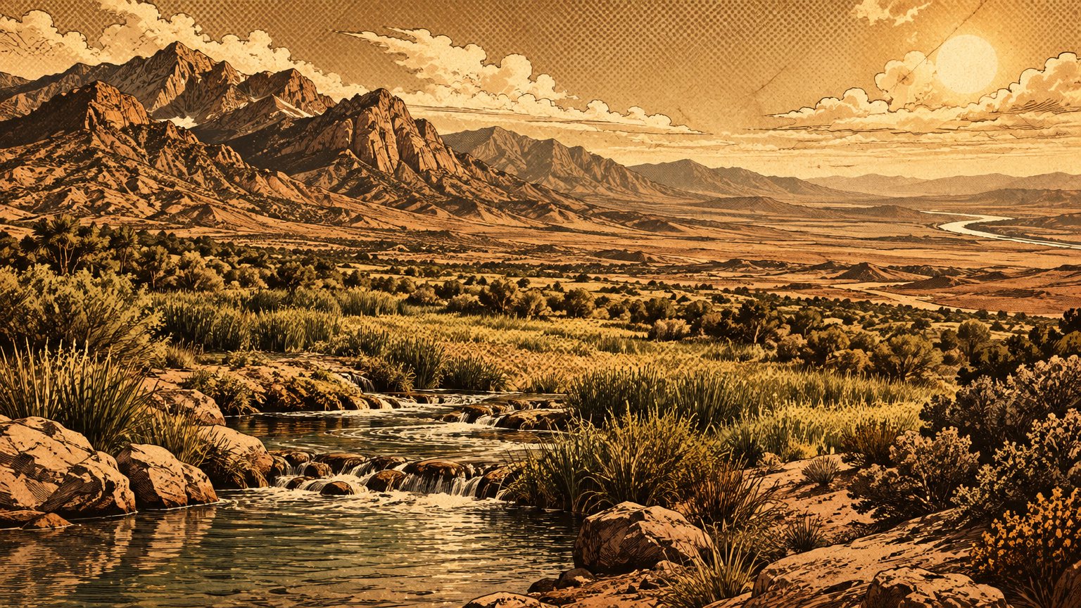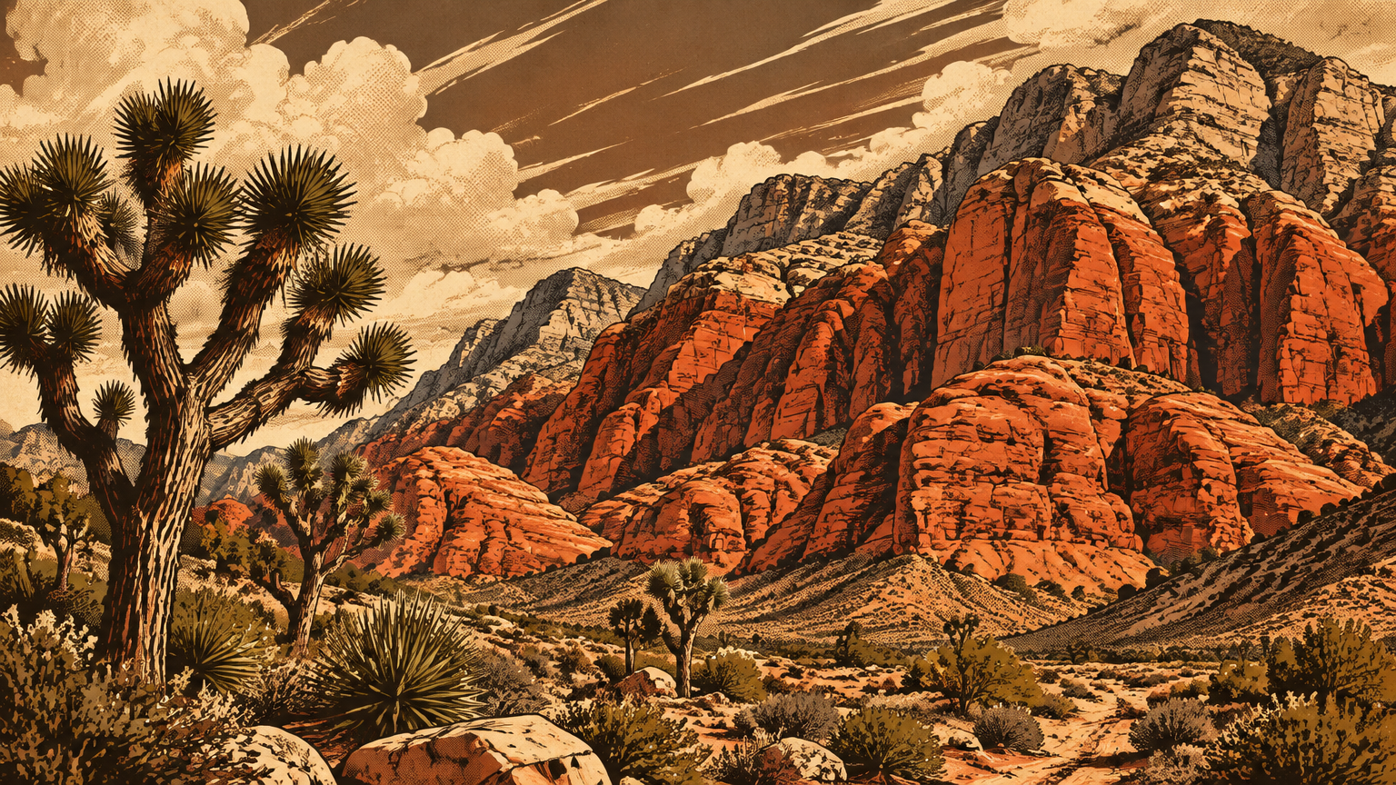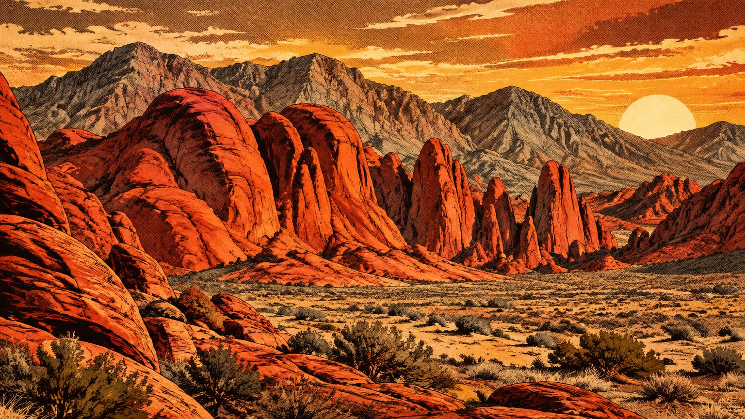
Fifty miles northeast of the Strip, the desert changes color and means it.
Red stone piles up in domes, fins, and walls so bright they look lit from inside. At sunset the whole basin glows, and you understand the name before anyone explains it.
Today this is Valley of Fire State Park, at 29450 Valley of Fire Road, Overton, NV 89040. It is Nevada's oldest state park and its largest, covering nearly 46,000 acres.
But the park is the newest layer here. The stone is more than 150 million years old.
People have been leaving marks in it for at least 2,500 years. And for most of that time, there was no park, no road, and no name anyone wrote down.
A landscape of red sandstone
Geological timescale
Start with the sand, because everything here starts with sand.
More than 150 million years ago, during the age of dinosaurs, this ground was a field of shifting dunes. Wind piled the sand up, the dunes moved, and layer settled on layer.
Buried and pressed over immense time, that loose sand hardened into rock. Geologists call it the Aztec Sandstone, a Jurassic formation built from windblown sand left behind after inland seas subsided and the land rose.
Iron in the sand did the painting. As the stone formed, iron oxidized and stained it red, orange, and pink, which is why the outcrops burn in low sun.
The red stone does not sit alone. It nests inside gray and tan limestone mountains, and that limestone is older still, formed when this land lay under a sea.
So one glance takes in two lost worlds. Gray sea floor on the outside, red dune sea on the inside.
Then the ground itself got rough with the evidence. Complex uplifting and faulting shoved and folded the layers, and erosion went to work on the seams.
Wind and water are still working now. They carve the sandstone into arches, domes, beehives, and narrow slots, and they keep carving, grain by grain, every year.
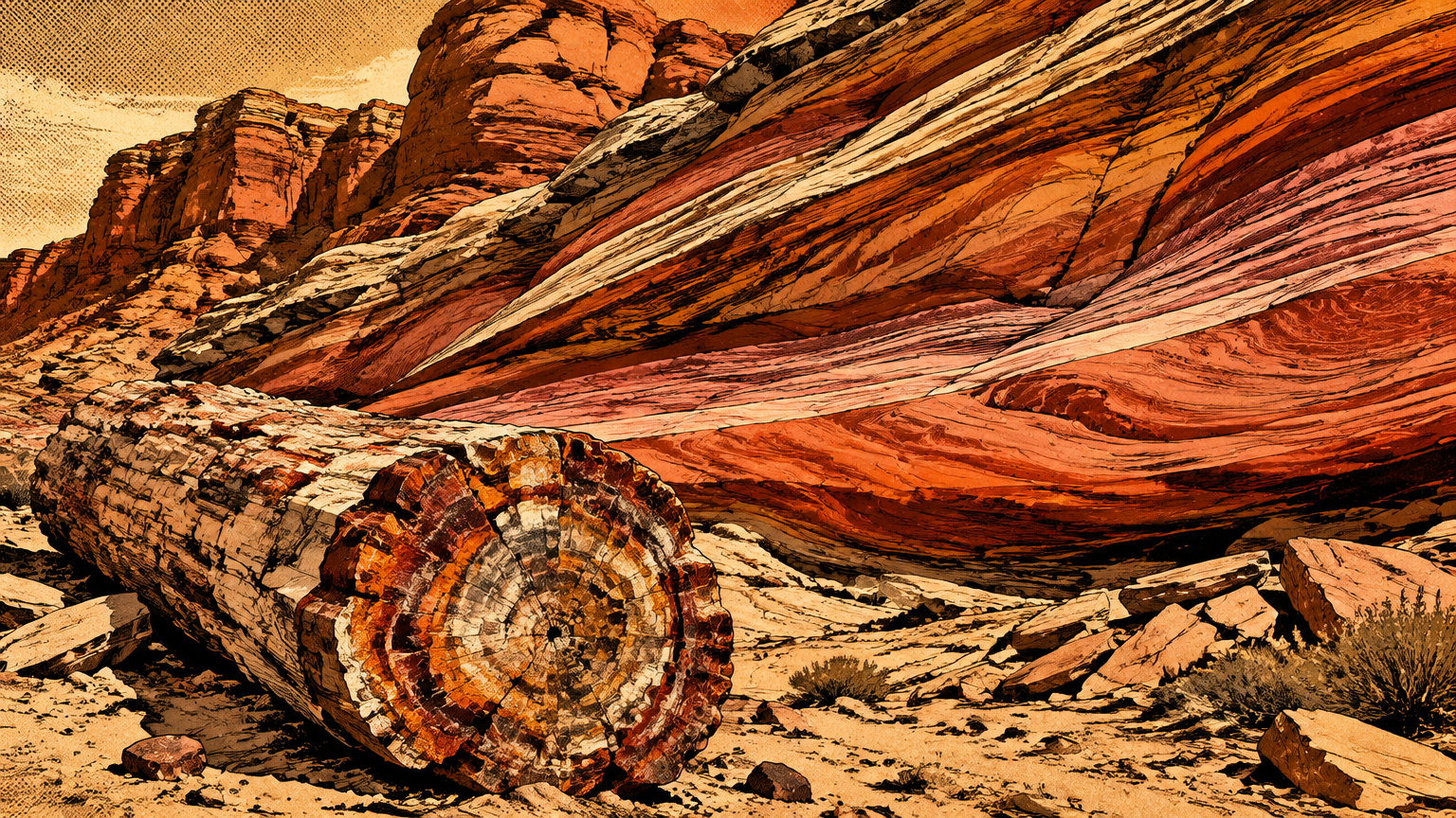
The park even holds petrified wood, trees from a forested past turned to stone. In one basin you can read a sea, a dune field, and a forest, stacked in the walls around you.
Water and habitat
For all that color, this is hard country to live in. Average rainfall is below seven inches a year.
Summer highs often reach 110 degrees and can push past 120. Winters are mild by comparison, running from freezing to the mid 70s.
Water does not run here in rivers. It hides.
Rain collects in natural basins worn into the sandstone, called tanks or tinajas. Shaded from the sun, a good tank can hold water for months into the dry season.
That stored water is the whole ballgame. It decides where animals drink, where plants hold on, and where people could afford to travel.
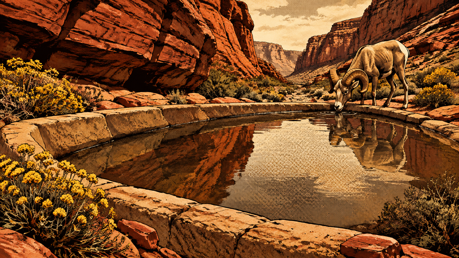
The wildlife runs on desert rules. Desert tortoises and Gila monsters spend most of their lives underground, waiting out the heat.
Kit foxes and jackrabbits work the night shift. Desert bighorn sheep do the opposite trick, stocking up when water appears and drinking as much as five gallons in one sitting.
The plants play the same long game. Creosote bush, burro bush, and brittlebush dominate the flats, spaced wide to share scarce water, with beavertail and cholla cactus mixed in.
Many go dormant and look dead until a little rain and the right temperature bring them back. Nothing here wastes water, including the people who learned to live here first.
People who left evidence
Rock imagery and archaeological context
Nevada State Parks puts the human story on a long clock. Early people moved into southern Nevada as far back as 11,000 years ago.
In the Valley itself, the clearest surviving evidence is not houses or tools. It is art, cut straight into the rock.
Petroglyphs are carvings pecked into desert varnish and sandstone. Desert varnish is the dark coating that builds on exposed rock over long ages.
Peck through that dark skin and the lighter stone underneath shows through. That contrast is why the designs still read, sharp and pale, after centuries of sun.
The park says the first of these carvings came from the Basketmaker culture about 2,500 years ago. The Early Pueblo culture followed later, adding its own panels.
Their farming relatives lived nearby in the Moapa Valley. The state brochure dates the Ancestral Puebloans living nearby from AD 1 to 1250, a span of more than twelve centuries.
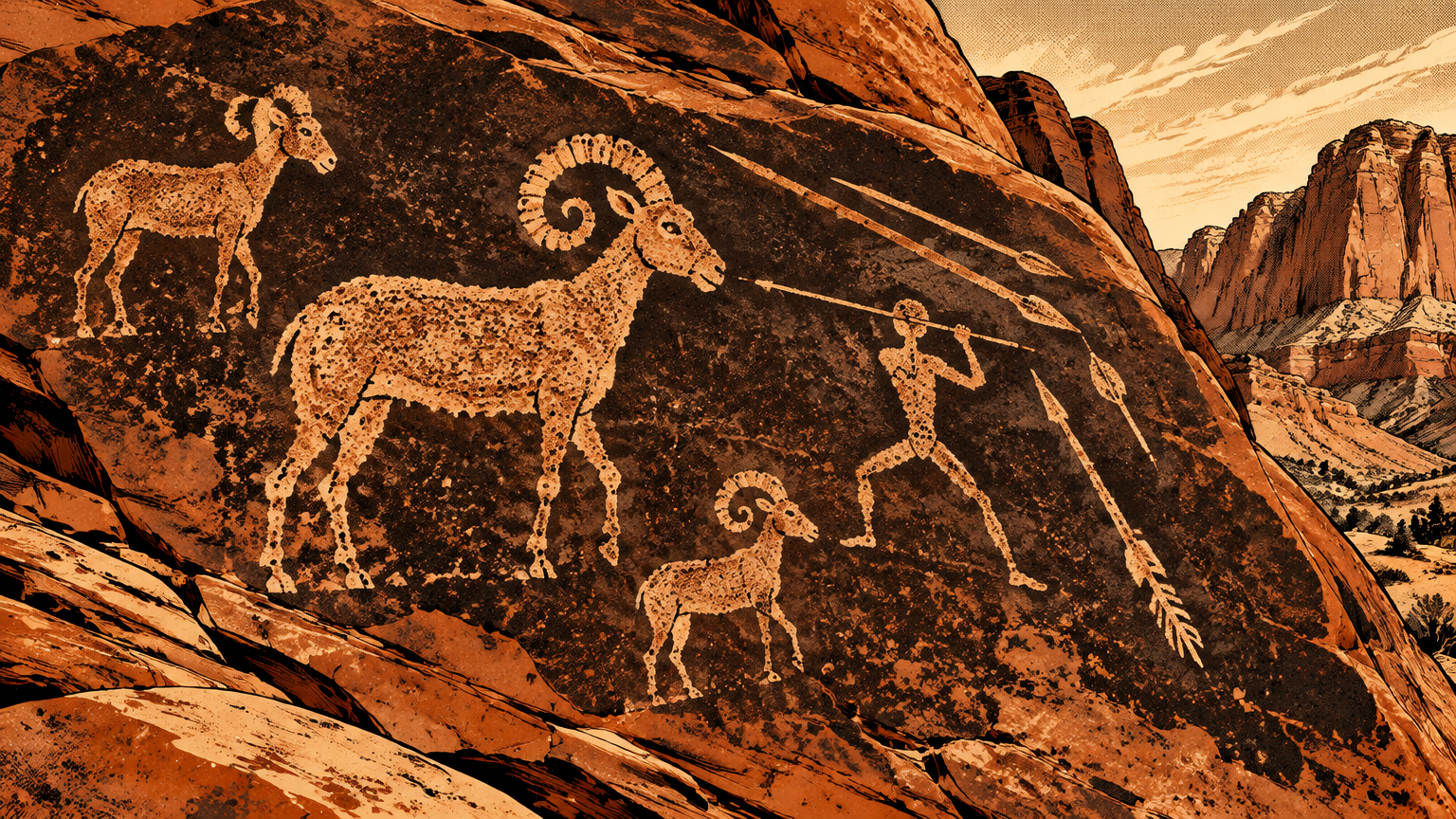
Two signed places concentrate the record, and they are the two this article will name. At Atlatl Rock, a panel of centuries-old carvings includes the atlatl, a spear-throwing tool that lengthened a hunter's arm and his throw.
The second is Mouse's Tank, at the end of Petroglyph Canyon. A short trail, seven tenths of a mile in the park's own listing, runs between walls crowded with panels and ends at that natural water tank.
Put the two together and the pattern clicks. People did not scatter this art at random.
They carved where they returned: near water, along travel routes, and on rock that would hold the mark. The art and the tanks belong to the same map.
The brochure adds the turn that followed. After harsh drought and social conflict, the Ancestral Puebloans relocated, and the Nuwu, the Southern Paiute, entered the area.
Paiutes were still living here in 1865, when Mormon settlers founded St. Thomas at the south end of the Moapa Valley. The park is plain about the ending, too: the Southern Paiute are still part of this community today.
What symbols cannot tell us for certain
Here is where an honest history has to slow down.
The panels show bighorn sheep, human figures, geometric designs, and tools like the atlatl. You can identify what a carving depicts far more confidently than you can say what it meant.
No panel comes with a translation. The makers left no written key, and no park source hands a visitor a settled meaning for any single design.
A sheep could record a hunt, mark a place, teach a lesson, or carry a meaning that belonged to a ceremony outsiders never saw. The evidence supports the presence. It does not pick one motive and close the case.
Dating carries the same limit. A carving has no inscribed year, and desert varnish forms at different rates in different spots, so no honest account assigns one panel a precise birthday.
What the record does prove is return. Generation after generation, people came back to the same walls and added their marks beside older ones.
That layering is the real document. The Valley was not a place people passed once and forgot. It was a place on the route, worth stopping for, for a very long time.
Even the famous tank name belongs to a much later layer. Park trail tradition says Mouse's Tank takes its name from a Southern Paiute man known as Little Mouse, who used this hidden canyon as a hideout in the 1890s.
By then the newest carvings were already ancient. The hideout story is a footnote from the park's last pre-park decade, not the origin of the art above it.


From ancient place to park
Conservation and public access
The Valley stayed a working and traveling landscape long after the carvings. Farming, ranching, and mining took hold in the region along its narrow stretch of water.
Then the automobile rewrote the map. A road opened the area to motorists in 1912, and in the 1920s the glowing basin picked up the name Valley of Fire, after an auto club official saw the sandstone flare at sunset.
Popularity created the argument for protection. In 1931, a land exchange transferred 8,760 acres of federal land to Nevada, the seed the park grew from.
The builders arrived in 1933. Civilian Conservation Corps crews, led by Thomas W. Miller of Reno, who also served as the first chairman of the State Parks Commission, built the early campgrounds, trails, roads, and ramadas.
Their most photographed work still stands: stone cabins built from local sandstone in the 1930s, raised as shelter for travelers. The cabins are small, thick-walled, and built from the same red rock that fills every view.
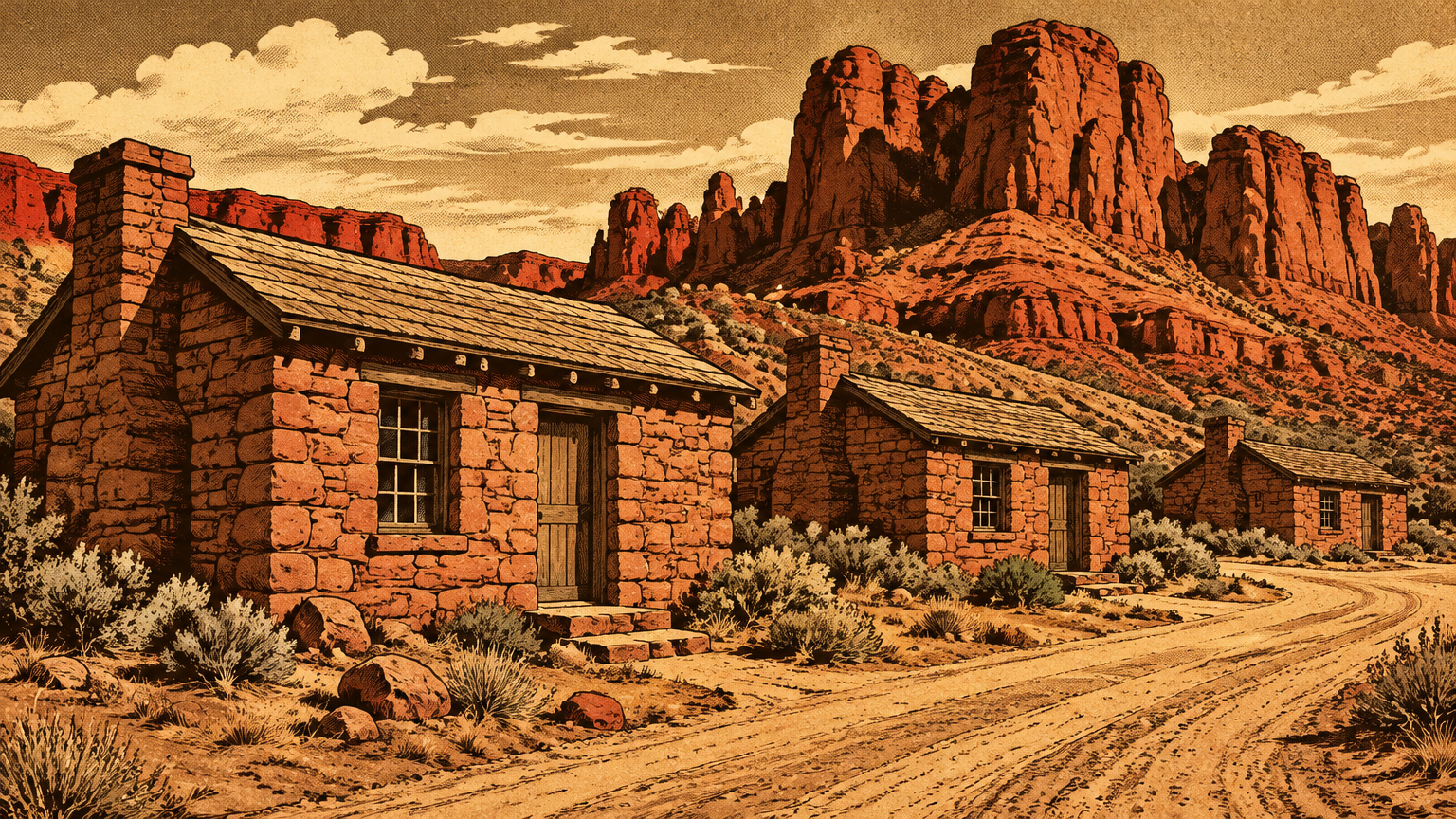
In 1934, that land was officially dedicated as Valley of Fire, Nevada's first state park. Nine thousand people visited in the first year of operation.
The legal finish line came the next year. In 1935, Nevada's legislature established Valley of Fire in law, alongside Beaver Dam, Cathedral Gorge, and Kershaw-Ryan.
That is why the park carries two birthdays. It opened as a park in 1934 and became one in statute in 1935, and both dates are true.
The park kept growing. By 2015 it had grown fourfold from that first transfer, and the state marker notes it is recognized internationally for its scenic, geologic, and archaeological features.
Federal recognition arrived on the geology side. In 1968, Valley of Fire was designated a National Natural Landmark, honored as an outstanding example of folded and faulted rock exposed by erosion.
Today nearly one million visitors a year come through. That number would have stunned the 9,000 who showed up in year one, and it raises the stakes on everything fragile inside the fence.
Protecting cultural materials
A park this old has two jobs that pull against each other. Open the gates wide, and lock the record down.
The rules thread that needle in plain language. Removing, disturbing, or damaging any historic structure, artifact, rock, plant, or fossil is prohibited, and state and federal law protect the area and its resources.
Carving into the rocks or writing on them is not permitted. Climbing on arches or petroglyphs is banned outright.
The petroglyph rule is the simplest one in the park: do not touch them. Skin oil and friction wear the varnish and the carving beneath it, and a panel that survived 2,500 years should not lose ground to a photo stop.
The park asks the same care for the ground itself. A living crust of microorganisms, called cryptobiotic soil, holds nutrients for plants and resists erosion, and one careless step off trail can crush it.
So the visit runs on a clear bargain. The signed trails take you right up to Atlatl Rock and through Petroglyph Canyon to Mouse's Tank, close enough to read every pecked line.
In exchange, you look with your eyes, keep your hands off, and leave every stone where the desert put it. That is how the next visitor gets the same first look you did.
Stand at Atlatl Rock late in the day and the whole timeline stacks up in one frame. Dune stone from the age of dinosaurs, carvings from farmers who lived beside the Moapa, cabins from Depression-era crews, all of it glowing red at once.
Valley of Fire was a landmark for thousands of years before anyone made it a park. The park just gave the rest of us permission to come and see why.
Next, the series stays close to home and asks a simple question with a complicated answer: What Las Vegas Looked Like Before Pavement and Lawns.