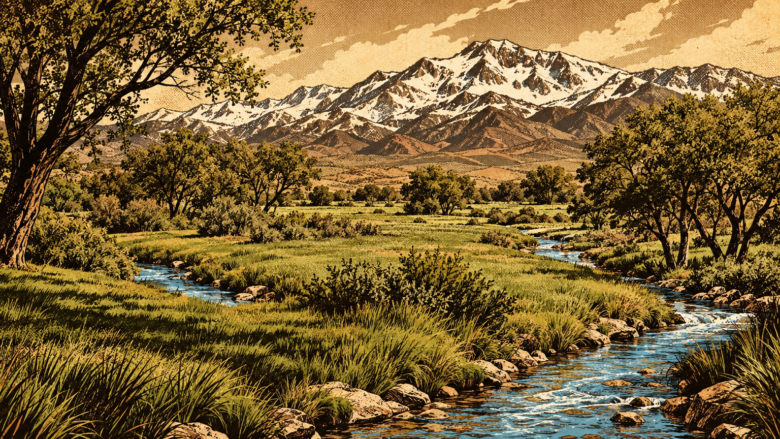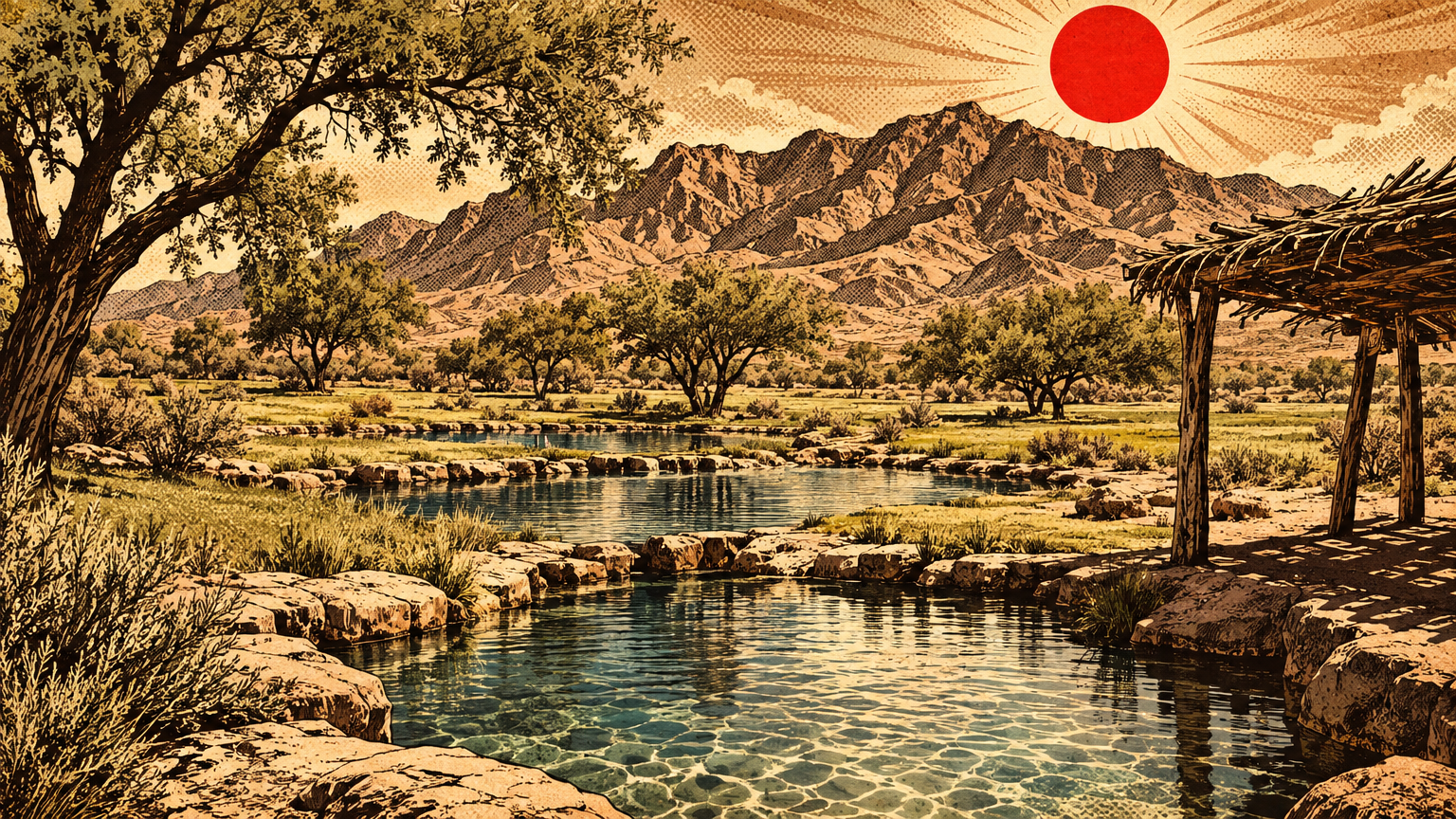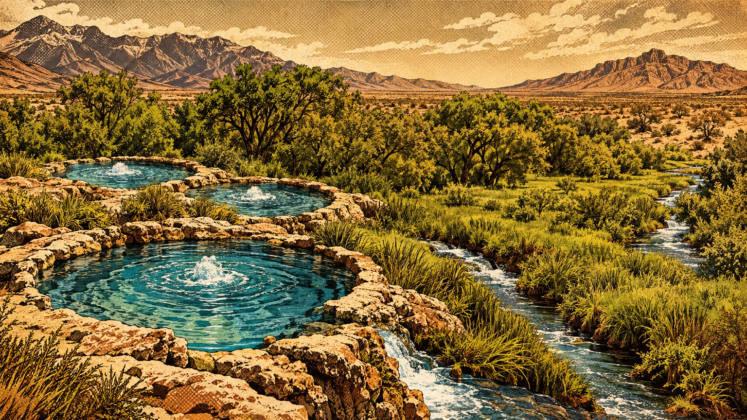
Every city has two maps. One is printed on street signs.
The other is written in water. In Las Vegas, the water map came first, and for a very long time it was the only map that mattered.
Learn to read it and the city makes a new kind of sense. The meadows, the fort, the ranch, the railroad town, even the modern flood channels all sit exactly where the water told them to sit.
Where water emerged
The Las Vegas Springs and nearby sources
Start on the west side of the valley floor, on the ground that is now the Springs Preserve.
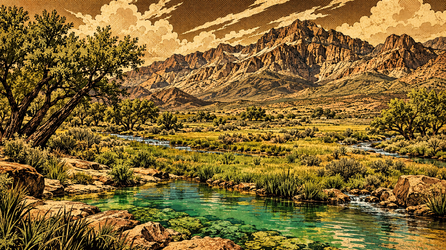
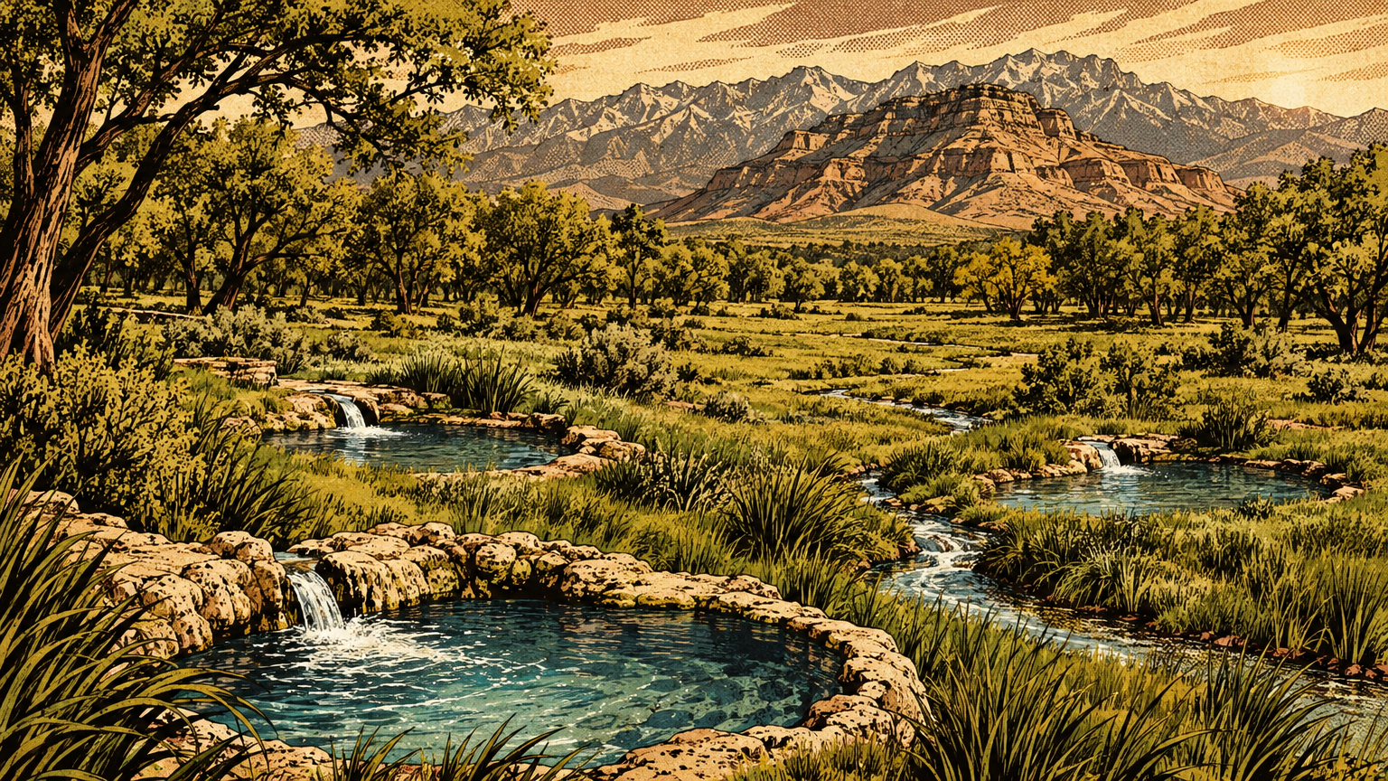
Three springs rose there: Big, Middle, and Little. Together they were called the Las Vegas Springs, or Big Springs, and Big Spring was the largest of the group.
These were not seep holes in damp sand. The state historical marker says the water gushed with such force that a man could not sink in the springs.
State Engineer records back that up with numbers. Little Spring alone, the smallest name on the map, was measured at 2,700 to 3,150 gallons a minute in 1908.
The pressure came from far away. Rain and snow fell on the Spring Mountains, where the high country catches more than 24 inches of precipitation a year.
The valley floor below gets only a few inches. Federal geologists with the U.S. Geological Survey traced the rest of the journey underground.
Water soaked in at the mountain front, moved down through the valley fill, and got trapped between layers that would not let it pass. Faults in the fill blocked it sideways, so the pressure pushed it up along those faults until, at the springs, it broke the surface on its own.
That is an artesian system. No pump, no well, just mountain weather and underground pressure doing the work for thousands of years.
The main springs were the headline, but they were not the whole map.
University of Nevada, Las Vegas historians note that the valley's ranches grew around a scatter of natural springs. Their list names Cottonwood Spring, the Las Vegas Spring, and the small springs that watered what became the Kyle Ranch.
Each of those dots pulled life toward it. A spring meant grass, shade, garden ground, and a place where animals could drink in a desert that offered none of that for miles.
So the original water map was not one oasis. It was a chain of wet places across a dry basin, with one great green headquarters at the Las Vegas Springs.
The wash and flow paths
Water that rose at the springs did not sit still. The state marker says the springs sent two streams of water across the valley.
Those streams fed Las Vegas Creek. The creek ran east from the springs, past the ground where the old fort and the great ranch would stand, watering meadows as it went.
The marker follows those meadows all the way toward Sunrise Mountain. Green ground, in a Mojave valley, strung along a line of flowing water.
Then comes the second line on the map, and it is a different animal. The Las Vegas Wash is not a spring creek. It is the valley's great drain.
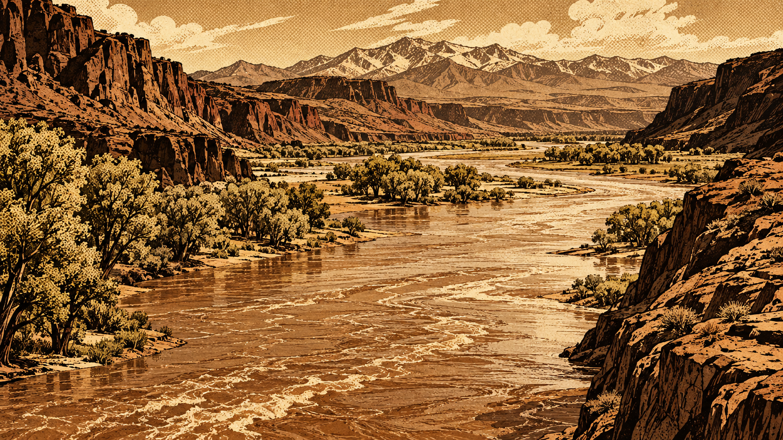
Federal geologists put it plainly: most of Las Vegas Valley is tributary to the Colorado River through Las Vegas Wash. Storm runoff and floodwater collected there and ran east to what is now Lake Mead.
The wash runs about 12 miles in its modern channel. Along the way it gathers the valley's other washes, among them Las Vegas Creek, Flamingo Wash, Duck Creek, and Pittman Wash.
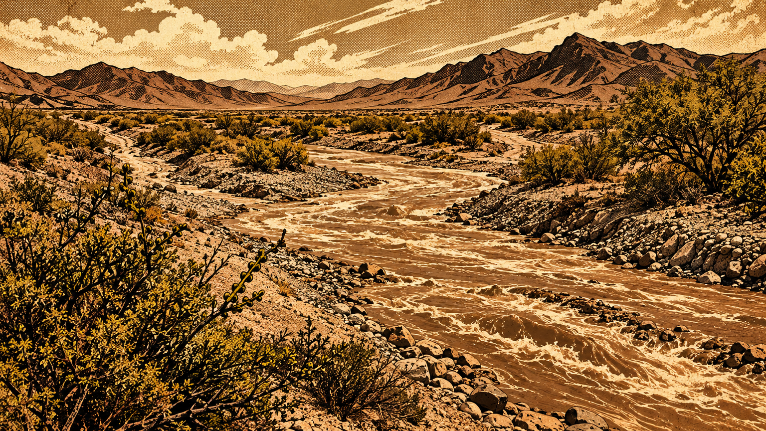
Picture the flow paths like a hand. The springs are the palm, the creek is a finger reaching east, and the wash is the arm carrying everything out of the valley.
One more detail keeps the map honest. The smaller washes were not rivers. The Geological Survey notes they carried surface water only during storms, and for a short time after.
So the old valley had two kinds of water lines. Perennial lines, fed by springs, that a traveler could trust in August. And storm lines, dry most of the year, that could turn dangerous in an hour.
Everyone who lived here learned both by heart. Their lives depended on knowing which line was which.
How water connected places
Settlements and travel corridors
Put dots on the wet places and the human map draws itself.
Indigenous families built gardens and small settlements near the springs and washes. The Springs Preserve's own history records that Pueblo peoples, the Patayan, and the Nuwuvi all used the Las Vegas Springs and Las Vegas Creek.
That use ran deep and long. It lasted until ranching took over the springs country in the 1860s.
The springs were also the Southern Paiute winter homeland, in the state marker's words. Families wintered at the meadow and mesquite forest, then spent summers in the Charleston Mountains, following the water and the seasons up the slope.
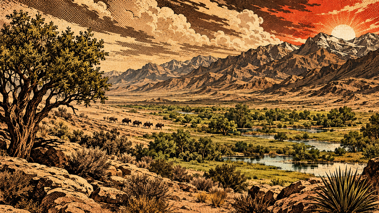
Travelers plugged into the same map. Antonio Armijo stopped at the springs in 1829 and 1830, on the route that became the Old Spanish Trail.
Nevada State Parks tells the fort's version of the same story. A spring-fed creek was the only free-flowing water and grass for miles, and it attracted Paiute families, traders, emigrants, and gold seekers moving on the trail to California.
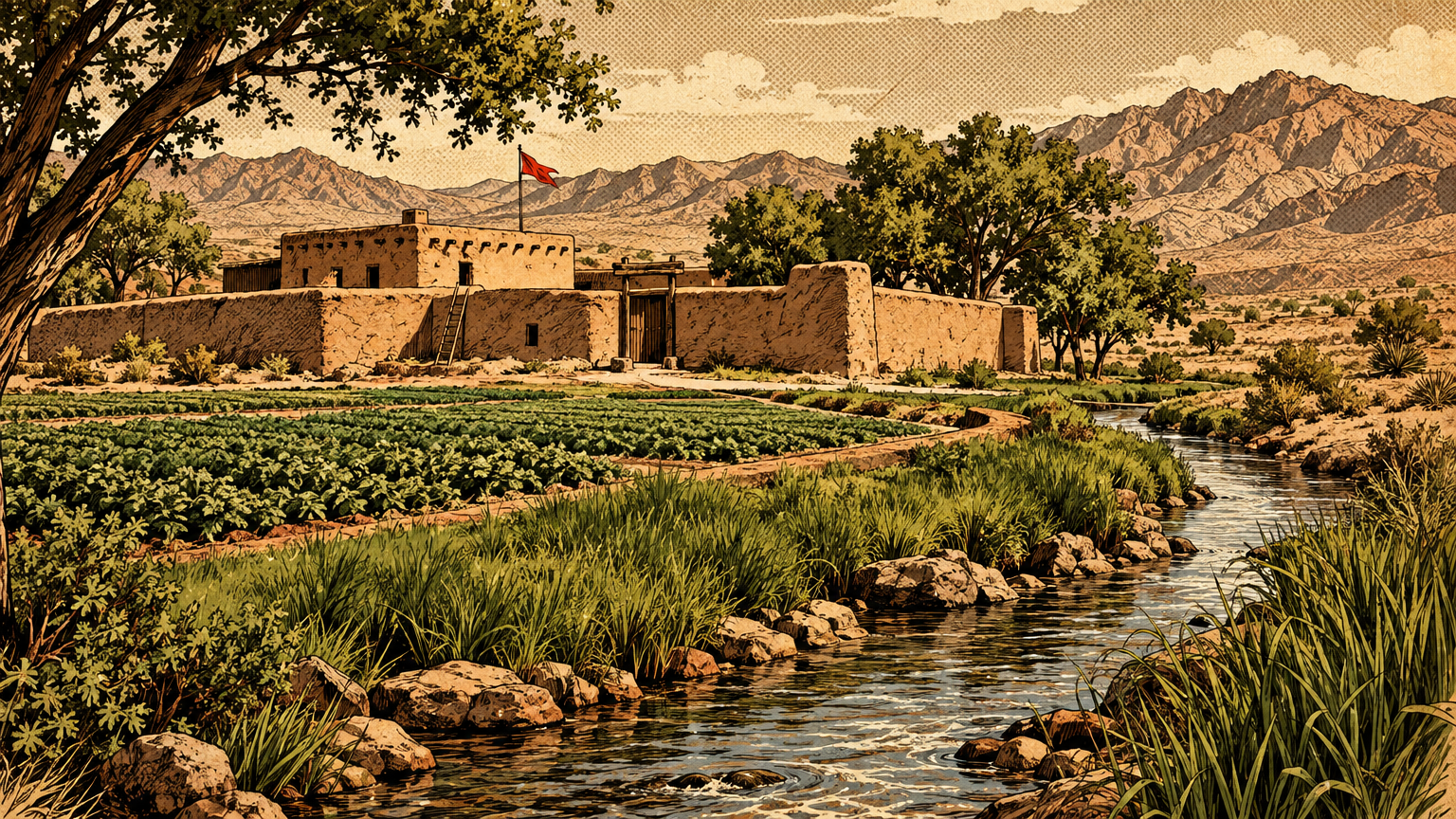
In 1855, Mormon missionaries built their fort about three miles east of the springs, beside the creek. They were not chasing scenery. They were planting a settlement where the water map said a settlement could survive.
The ranch era followed the same logic. The valley's largest ranch was headquartered on Las Vegas Creek at the old mission site, its grasslands stretching west along the creek to where Big Springs bubbled up.
Octavius Gass filed on most of the water from the springs in 1872. By 1878 he owned all the land watered by the creek.
Read that again. Owning the water was owning the valley. The land without it was just desert with a fence around it.
When Helen Stewart sold the ranch to the railroad in 1902, the deal carried 1,864 acres and the water rights with it. The railroad was not buying dirt. It was buying the map.
Seasonal variation and uncertainty
The water map was never a fixed drawing. It breathed with the seasons, and everyone who used it knew the wet version and the dry version were different documents.
Spring flow was the steady part. Artesian pressure does not care about a hot week, so the springs ran through the worst of summer while the valley around them baked.
Storm flow was the wild part. A wash that was a gravel road in the morning could be a brown torrent by afternoon, carrying the whole valley's runoff toward the river.
Even the place names carry that uncertainty. The springs sent their streams east, but how far the green reached in a given year depended on flow, grazing, and how much water people upstream had taken.
The record also leaves honest gaps. No surviving source lets us draw the creek's exact line street by street through the modern city, and this series will not invent one.
What the sources do support is the shape: springs on the west side, a creek running east, meadows along it, and a great wash draining the basin. The details between those points were redrawn by every flood and every ditch.
That uncertainty is part of the story. A map of living water is always a draft, and the valley's first residents read it fresh every season.


A map transformed
Pipes, wells and drainage works
The railroad town turned the water map into plumbing.
The Las Vegas Land and Water Company ran the town's first distribution system, laid redwood pipes, and built protective houses over the springs to keep people and cattle out of the supply.
The springhouses got serious. In 1911 the company built a concrete basin and shed over Big Spring, and in 1917 Little and Middle Springs got springhouses of their own.
Then the wells started eating the map. Private wells began in 1907, and owners often left them uncapped, flowing day and night under artesian pressure.
The water company drilled Well No. 1 near the springs in 1924. In 1936 it drilled Well No. 2 straight into the spring mound itself.
The creek felt it first. In the summer of 1935, Las Vegas Creek dried up for the first time, and the old ranch ground could not be irrigated.
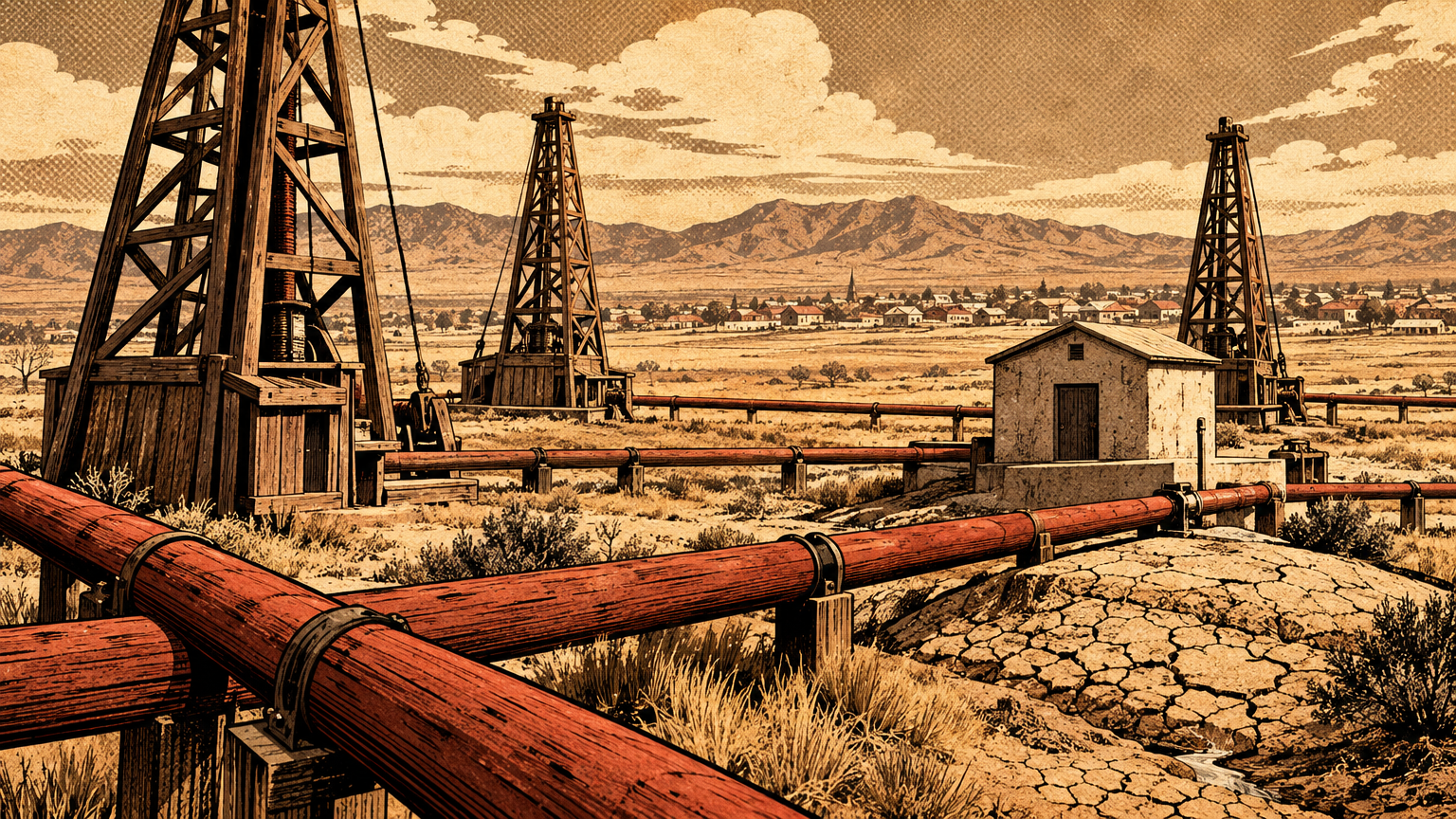
By 1950 the young city was using about 35,000 acre-feet of groundwater a year. That matched or beat the aquifer's whole natural recharge, estimated at 25,000 to 35,000 acre-feet a year.
By 1960, residents had drilled nearly 3,000 wells. Groundwater levels were falling two to four feet a year.
By 1962, the Las Vegas Springs had stopped flowing altogether. The palm of the hand, the green headquarters of the old map, went dry.
The drainage side got rebuilt too. The modern wash now carries urban runoff, shallow groundwater, reclaimed water, and stormwater east in a managed channel, with low dams called weirs slowing the flow and fighting erosion on its way down to Lake Mead.
And the supply itself moved off the map entirely. The Southern Nevada Water System began delivering Colorado River water in 1971, and today about 90 percent of the valley's supply comes from the river through Lake Mead.
What current maps conceal
Open a street map today and the old water map is almost invisible. That is the final trick the city played.
The springs are dry ground inside a preserve fence. The creek that named a ranch and fed a fort survives in fragments, much of its old course built over, channelized, or hidden in storm drains.
The aquifer is still down there, but the story flipped. Since the late 1980s, the water district has banked treated Colorado River water in that same underground reservoir, saving river water in wet years for dry ones.
It is a smart system. It is also an admission: the pressure that once pushed water up for free has never come back far enough for the springs to flow again.
What the modern map does show, if you know to look, is the wash. It still runs east through Clark County Wetlands Park, carrying more than 200 million gallons a day toward Lake Mead on a descent of about 150 feet.
You can walk both ends of the story in one weekend. Start at the Springs Preserve, at 333 S Valley View Blvd, Las Vegas, NV 89107, where the three springs rose and where crews have rebuilt wetlands along the creek since 2003.
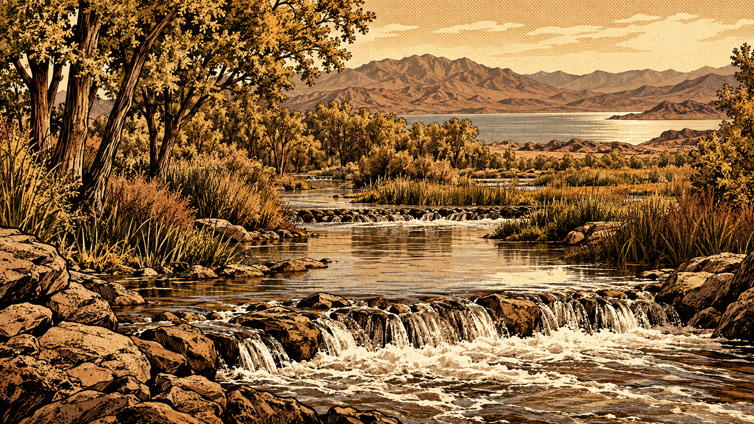
Finish at Clark County Wetlands Park, at 7050 Wetlands Park Lane, Las Vegas, NV 89122, where 2,900 acres wrap around the wash that still drains the whole valley.
Stand at the second park and watch the water move. That flow is the last working page of the original water map, still doing the job it did before there was a city to drain.
The streets will keep their names and their grid. But underneath them, the older map still runs the place: mountain rain, underground pressure, a creek line east, and a wash out to the river.
Las Vegas was never built in spite of its water map. It was built on top of it, one pipe, one well, and one flood channel at a time.
Next, the series follows the goods that moved along those water-linked paths, in How Indigenous Trade Connected the Desert Southwest.