Isolation is the laziest myth in desert history.
The old story says desert peoples lived cut off from the world, each valley alone under the sun. The ground says otherwise.
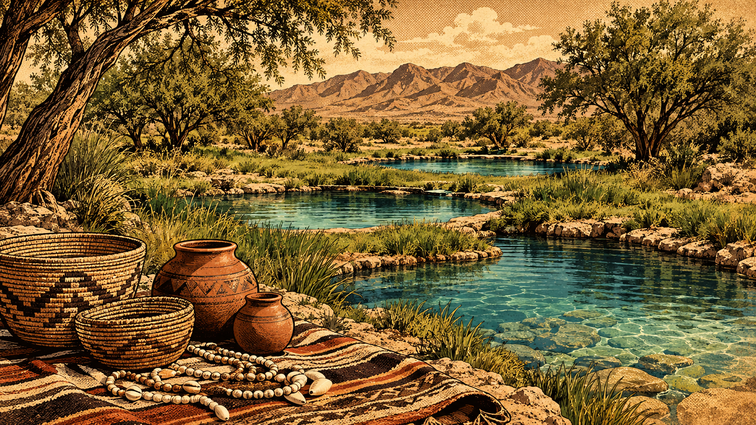
Dig at a spring in Las Vegas and you can pull up seashells. Ocean shells, in the middle of the Mojave, carried here on purpose by people who knew exactly where they were going.
A connected region
Paths and neighboring communities
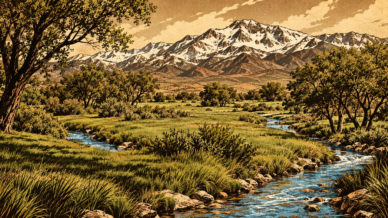
Start with the map nobody drew on paper. The Las Vegas Valley sat inside a web of homelands.
The ancestors of the Las Vegas Paiute Tribe, the Tudinu, held territory that reached part of the Colorado River, most of southeastern Nevada, and parts of southern California and Utah. University of Nevada, Las Vegas archivists lay that geography out plainly.
That is not a village boundary. That is a region, stitched together by kinship, language, and trails that ran spring to spring.
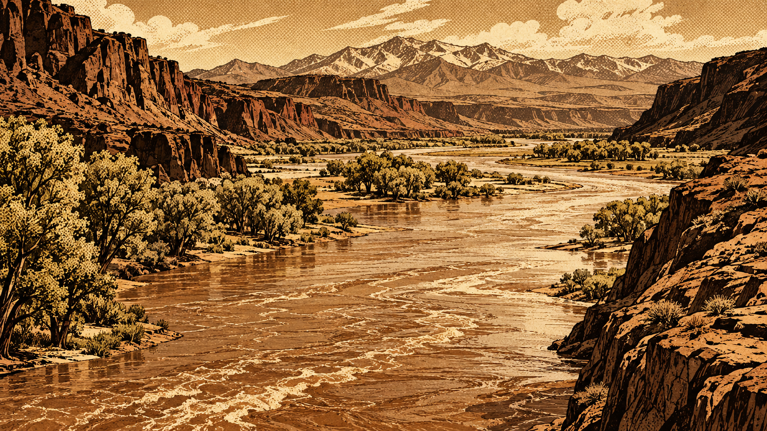
West and south lay the Mojave River corridor. East lay the Colorado River villages of the Mojave people. North and east lay the Virgin and Muddy river country, where Ancestral Puebloan towns stood in the Moapa Valley.
Every one of those neighbors lived in a different ecological zone. River farmers had crops and river fish. Mountain people had pine nuts and game. Desert people had salt, seed grounds, and stone.
Different country meant different goods. Different goods meant reasons to travel, visit, and trade.
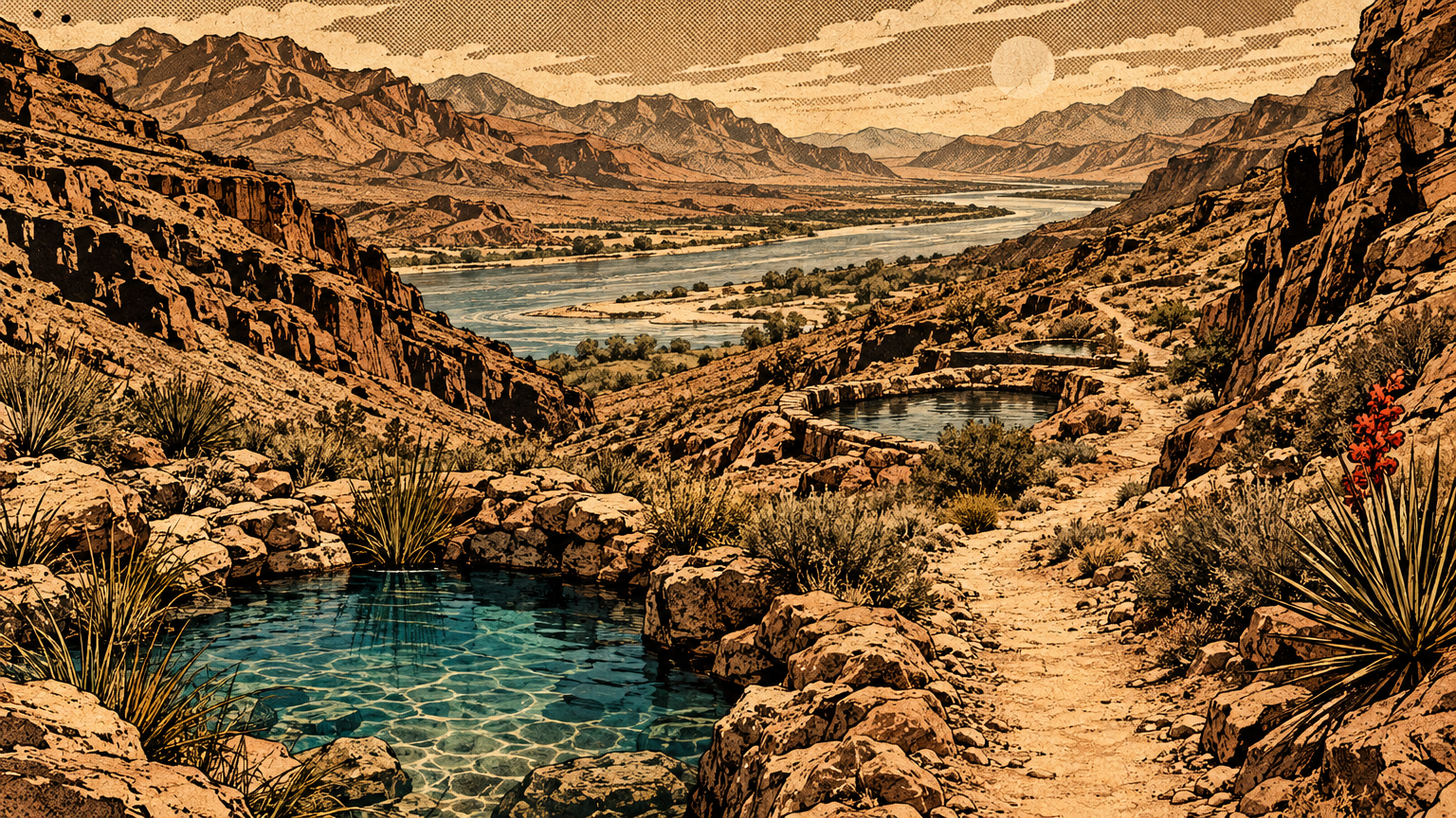
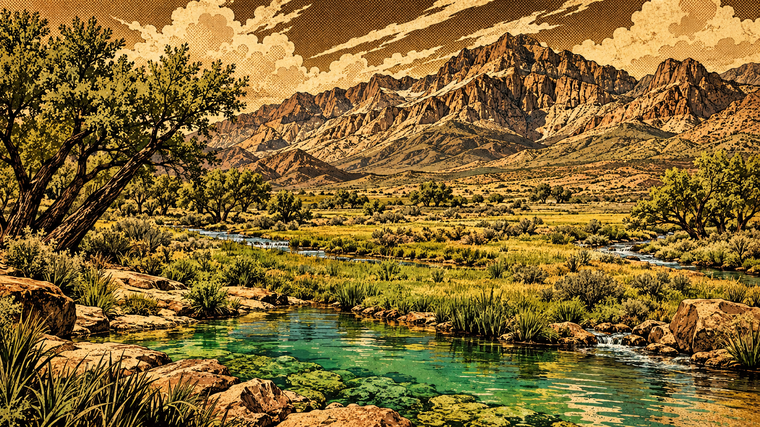
The trails followed water, because in this desert every road is a water road first. Springs, river bends, and canyon tanks were the stations, and everybody moving goods knew the stations by heart.
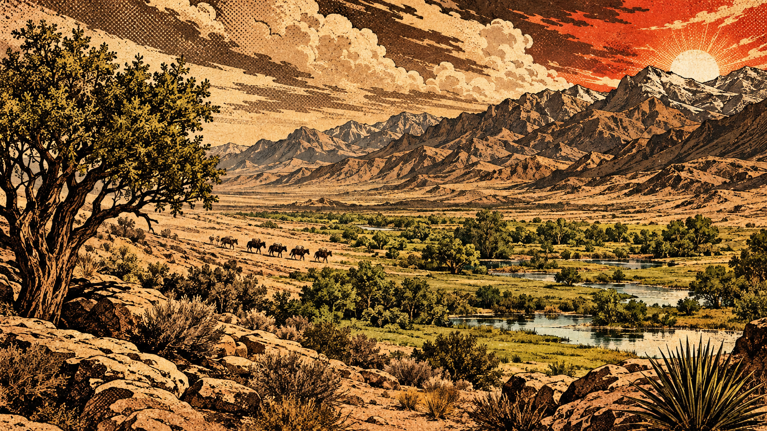
Centuries later, outsiders would formalize one strand of this web and call it the Old Spanish Trail. The National Park Service and trail historians are clear on the point: that famous route was a combination of trails first established by Indigenous people.
Spanish and Mexican traders did not invent a road across an empty desert. They plugged into a network that was already old, and Las Vegas was one of its proven stops.
Resources moving across ecological zones
Trade here was not shopping. It was geography solving its own problems.
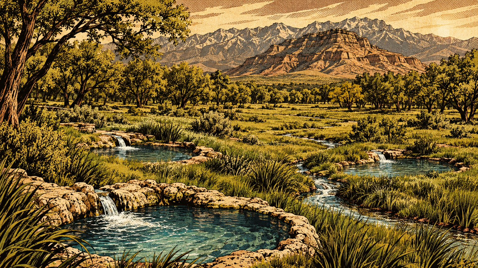
A family at the Las Vegas Springs lived rich in water, meadow grass, and mesquite. It lived poor in things the valley simply does not make, like ocean shell, fine turquoise, or river country crops.
So goods flowed downhill, uphill, and across. Pine nuts came down from the high country. Salt came from desert gathering places the Salt Songs still name.
Pottery came west from the Puebloan towns. Shell came east from the Pacific, hand to hand, across hundreds of miles of desert.
Each exchange also moved news, marriages, songs, and obligations. The National Park Service ethnography for Joshua Tree country notes that songs and stories passed from group to group along with material goods, so a Cahuilla birdsong might end up sung by Mojave singers.
That detail matters. A trade network is also an information network, and this desert ran on both.
What traveled and why
Archaeological material and ethnography
The proof sits in museum trays. Start with the shells.
A University of Oregon study built a database of trade between the Southwest and southern California. It documents artifacts made of Olivella and abalone shell traded eastward from the Channel Islands into the Southwest, southern Nevada included, across nearly a thousand years.
The study marks a watershed around the year 900, when the traffic reorganized and grew. One main current ran west to east, from the coast into the desert and the Pueblo world.
The Bureau of Land Management's East Mojave research fills in the human end of that current. Ethnographer Isabel Kelly's Southern Paiute notes record white Olivella disc beads arriving from the Mojave in exchange for rabbit nets.
The Mojave, in turn, had acquired the beads from people who lived on the ocean. The beads worked as a standard of value across southern California, and people wore them as necklaces too.
Read that chain again. Coast to river, river to desert, desert to valley. No single trader walked the whole line. The network did the walking.
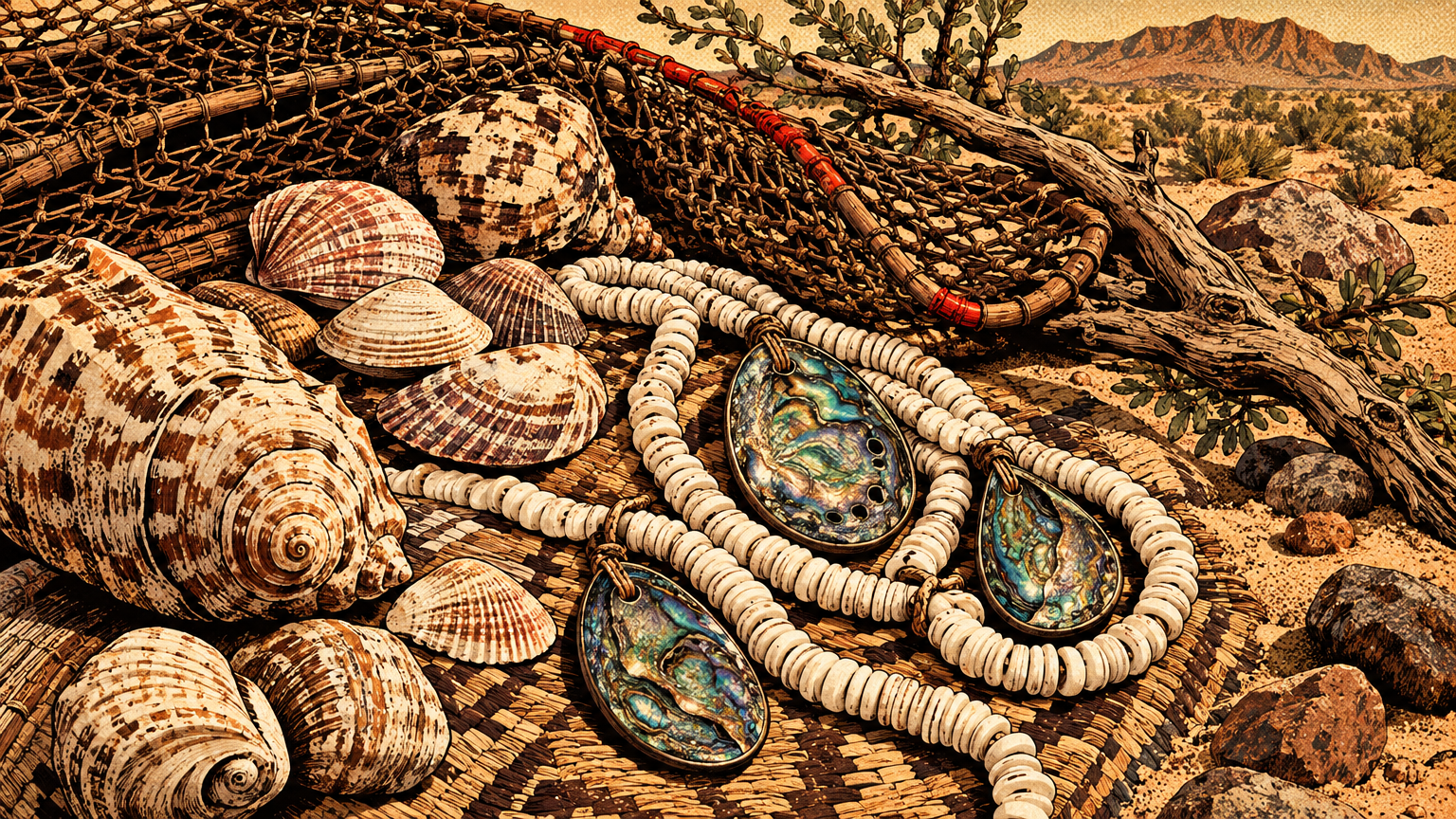
Turquoise ran its own circuit. Kelly's notes say turquoise was quarried in Chemehuevi country, shaped into ear and nose pendants, and traded onward to the Southern Chemehuevi, the Cahuilla, and the Mojave.
Federal researchers add that turquoise mining near the northern East Mojave was done by peoples from southern Nevada. Stone from this greater desert did not stay in this greater desert. It traveled, as a luxury should.
A newer study shows the same pattern in a humbler stone. Geochemical tests on green slate artifacts in a San Bernardino County Museum collection found that at least 92 percent came from a single quarry source.
Those pieces spread along a 150-mile corridor running through Serrano, Kawaiisu, Southern Paiute, and Western Shoshone country. The route followed the Mojave River and other water, which is exactly where a trade road in this desert has to live.
Pottery tells the Las Vegas chapter directly. A University of Nevada, Las Vegas study examined 25 ceramic collections from around this valley.
It found olivine-tempered pottery of the Virgin Anasazi tradition, the Ancestral Puebloan people whose permanent towns stood in the Moapa Valley, more than 70 kilometers east. The valley samples sit far west of those towns.
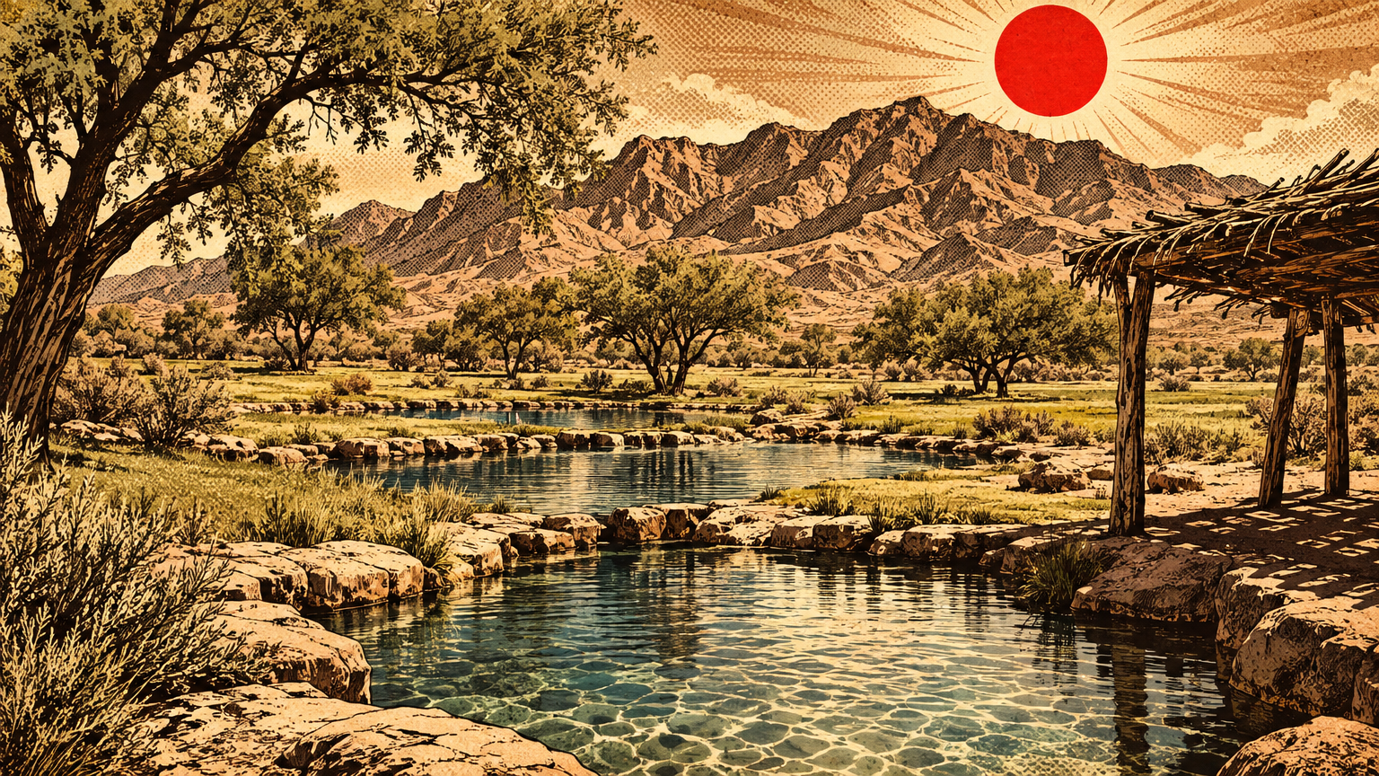
And at the Las Vegas Springs themselves, the Springs Preserve archaeology team documented a pithouse from about the year 700. Its contents included ceramics and shells alongside stone tools and charcoal.
Shells at a desert spring, in a dwelling floor, thirteen centuries old. That is not an accident of geology. That is a network, caught in the act.
The wider Southwest ran hot in the same centuries. The National Park Service notes that exchange systems in the Sonoran Desert reached their greatest extent between the years 800 and 1000, with goods found hundreds of miles from home.
Distinguishing evidence from speculation
Now the discipline, because this series does not invent the past.
A shell in Las Vegas proves a shell traveled. It does not, by itself, prove how. A trader could have carried it, a family could have fetched it on a journey, or it could have changed hands five times at five gatherings.
Good archaeology argues from patterns, not single objects. When the Las Vegas pottery study found only a small share of decorated ware among the olivine-tempered sherds, it read that as exchange of everyday pots, not a colony of Puebloan potters living here.
It also tested and rejected a simple down-the-line model, where goods pass neighbor to neighbor and thin out evenly with distance. The real distribution clumped in the north valley, Paradise Valley, the Spring Mountains, and Pahrump, which suggests directed trips to known places.
Ethnography helps, but it has limits too. Kelly's bead and turquoise accounts come from named informants remembering a living tradition, which makes them strong evidence for how trade worked in recent centuries, not a photograph of the year 700.
So this article keeps the two kinds of proof labeled. The objects prove connection. The recorded traditions explain the machinery. Neither one gets stretched past what it can carry.
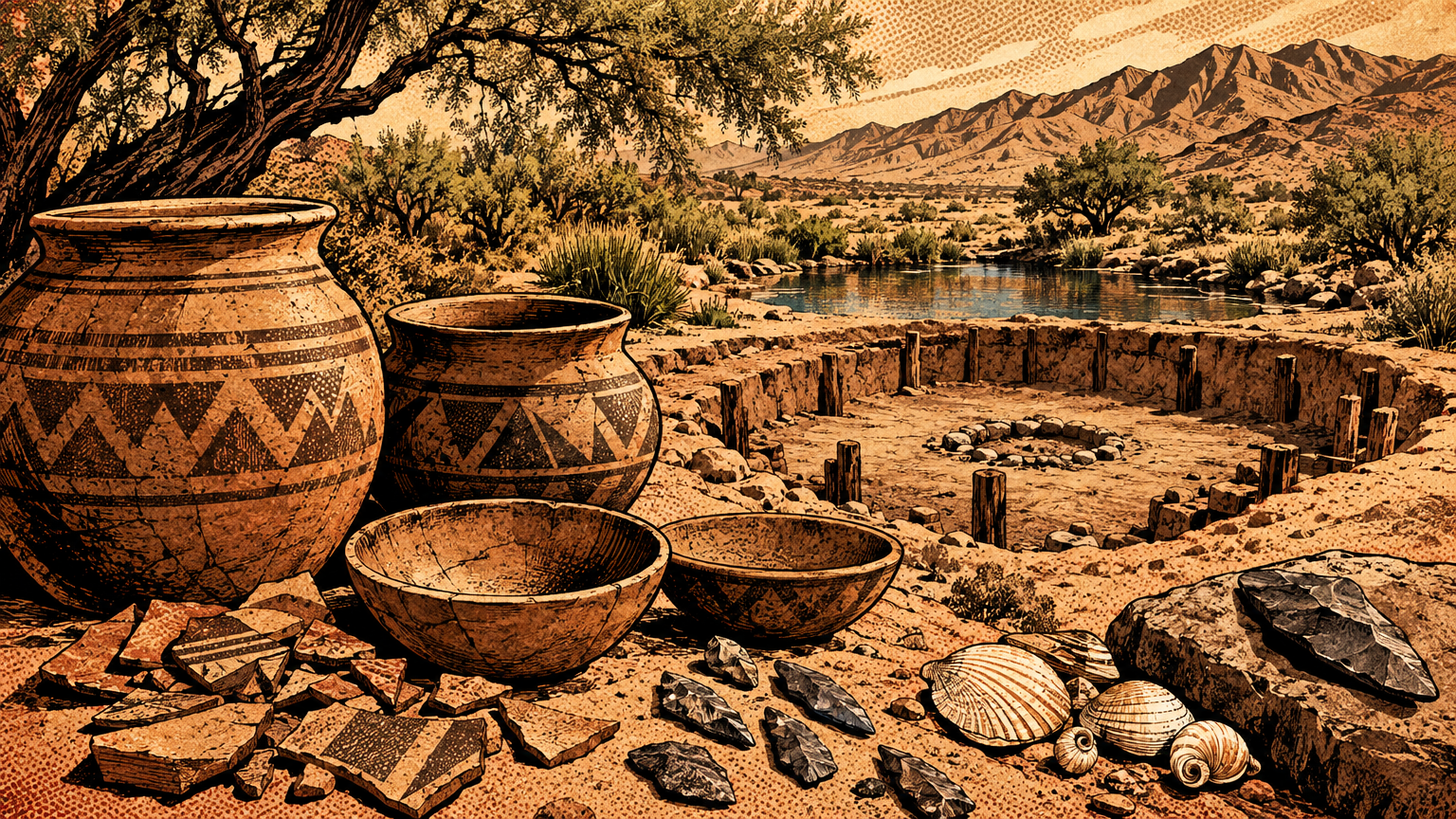
What nobody honest can claim is isolation. Too many foreign objects sit in too many desert sites, in too many centuries, for that story to survive.


The legacy of exchange
Continuities in Tribal relationships
Networks like this do not vanish. They get interrupted, damaged, and driven underground, but the relationships underneath them are still alive.
The clearest survival is sung. The Salt Songs of the Southern Paiute run to about 142 songs, and they describe a vast remembered landscape: sacred sites, ancient villages, hunting grounds, burial grounds, and gathering places for salt and medicinal herbs.
Those songs cross what are now four states, California, Utah, Arizona, and Nevada. Sung at funerals and memorials, they guide the deceased on a journey across the same connected country the traders walked.
A song cycle that maps a thousand miles of relationships is a trade network's memory, kept in the safest archive there is. People.
The Las Vegas Paiute Tribe still governs from 1 Paiute Drive, Las Vegas, NV 89106, and still works to preserve the Southern Paiute language and the Salt Songs. The connections this article describes are not a closed chapter for the tribe. They are inheritance.
Intertribal ties across the old network also persist in modern form, in gatherings, cultural projects, and shared stewardship fights over water and sacred places. The Salt Song Trail Project, founded by Kaibab Paiute and Chemehuevi elders, documents the song geography across tribal lines, on purpose.
Interpreting trails ethically
So how should a reader walk this history today?
Start at the springs. The Springs Preserve at 333 S. Valley View Blvd, Las Vegas, NV 89107 protects the ground where that year 700 pithouse held traded shell and pottery.
Look at the objects with new eyes. A shell bead in a desert exhibit is not a curiosity. It is a receipt, proof of a journey and a relationship.
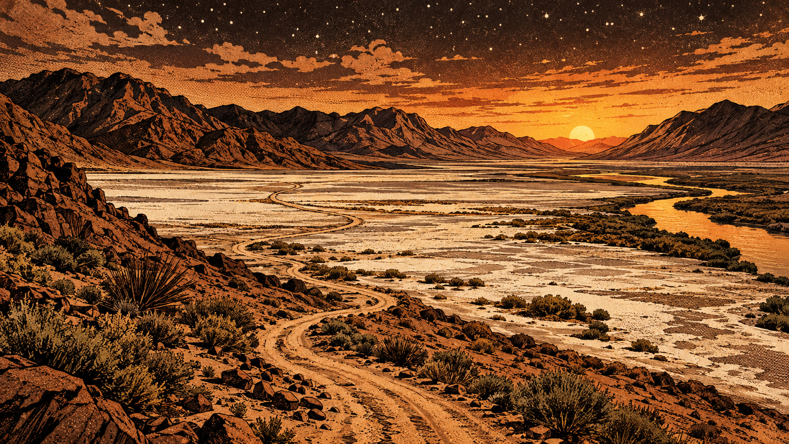
Then follow three rules that every source in this field repeats in its own way. Leave artifacts where they lie, because a pot sherd out of place is evidence destroyed.
Do not ask tribes to publish what is not public. Some trail and song geography is cultural knowledge, not tourist content, and its absence from a map is a decision to respect, not a gap to fill.
And credit the network's builders correctly. The famous trails of the Spanish, Mexican, and American eras ran on Indigenous roadwork, Indigenous water knowledge, and Indigenous guides.
Las Vegas likes to call itself a crossroads city, a place the world passes through. It has been exactly that for a very long time.
The neon just joined a network that shell, turquoise, pottery, and song had already built. Next time, we get practical about living out here before modern machines: Desert Survival Before Modern Air Conditioning.