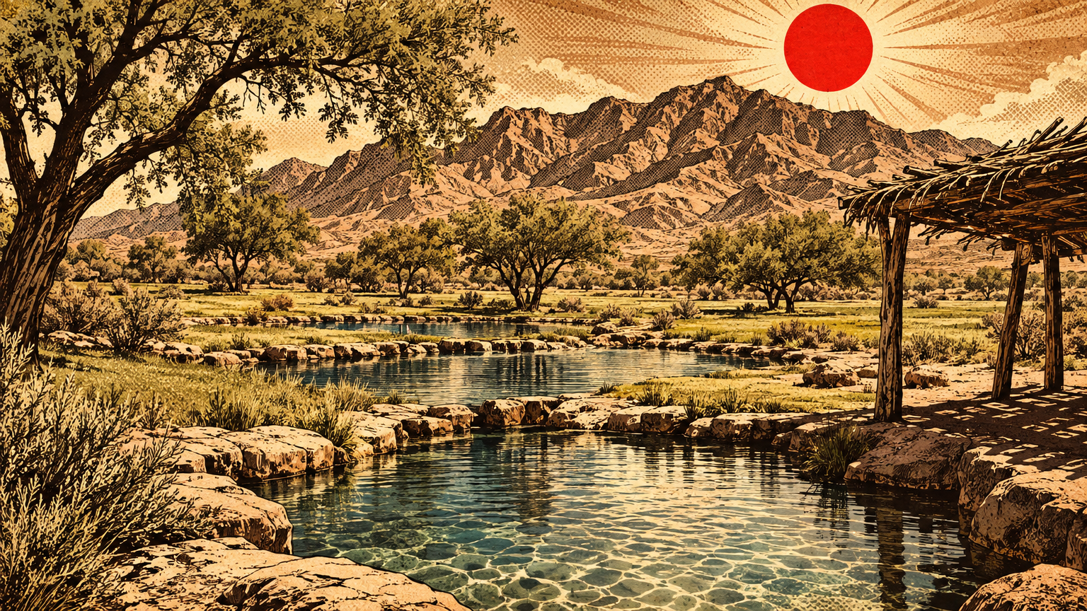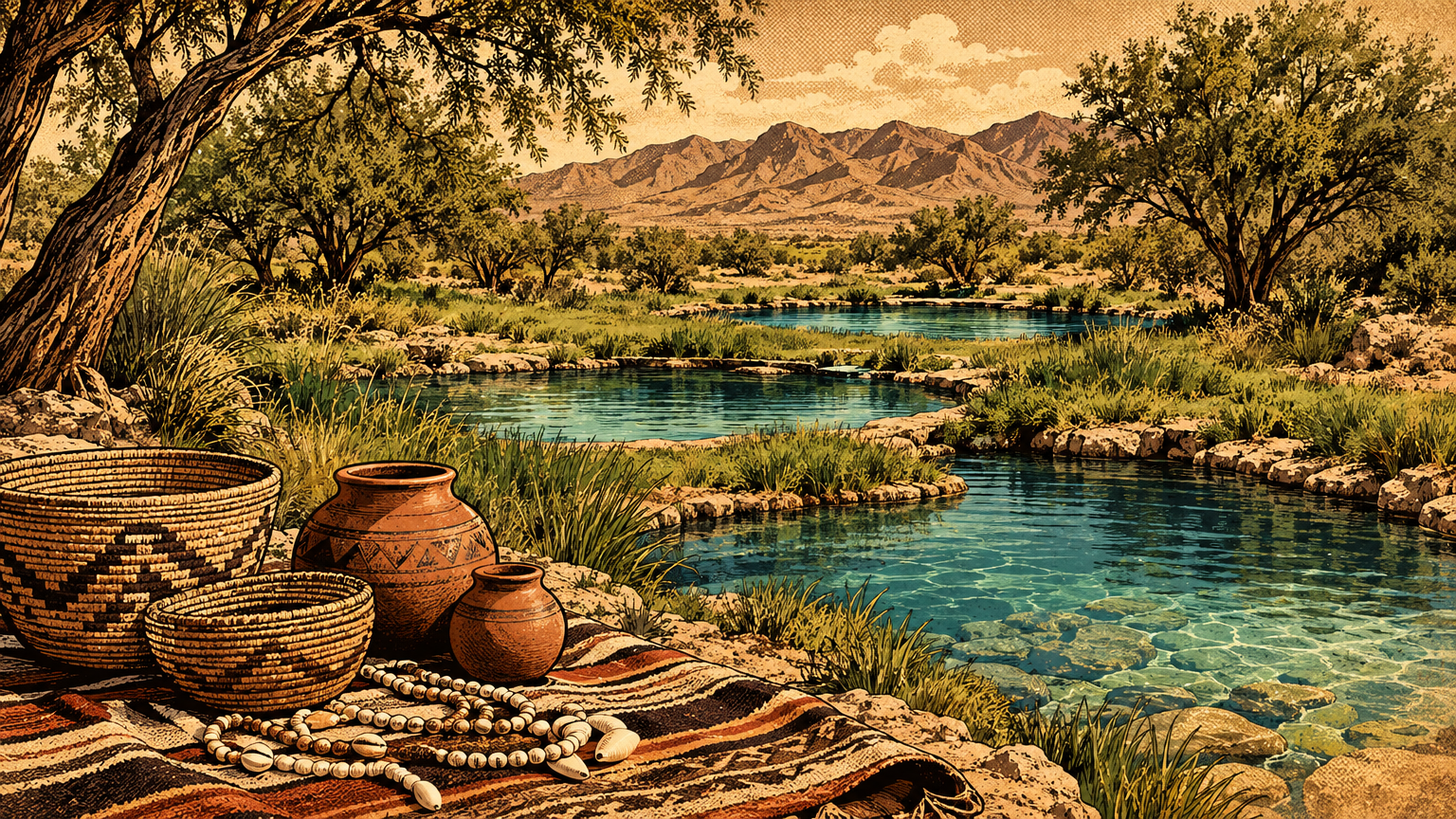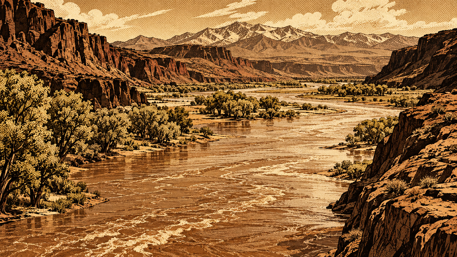
Las Vegas has no river. Everybody knows that.
Except it does. It just keeps it about thirty miles east, hidden in canyons, and for most of the city's life it kept that river at arm's length.
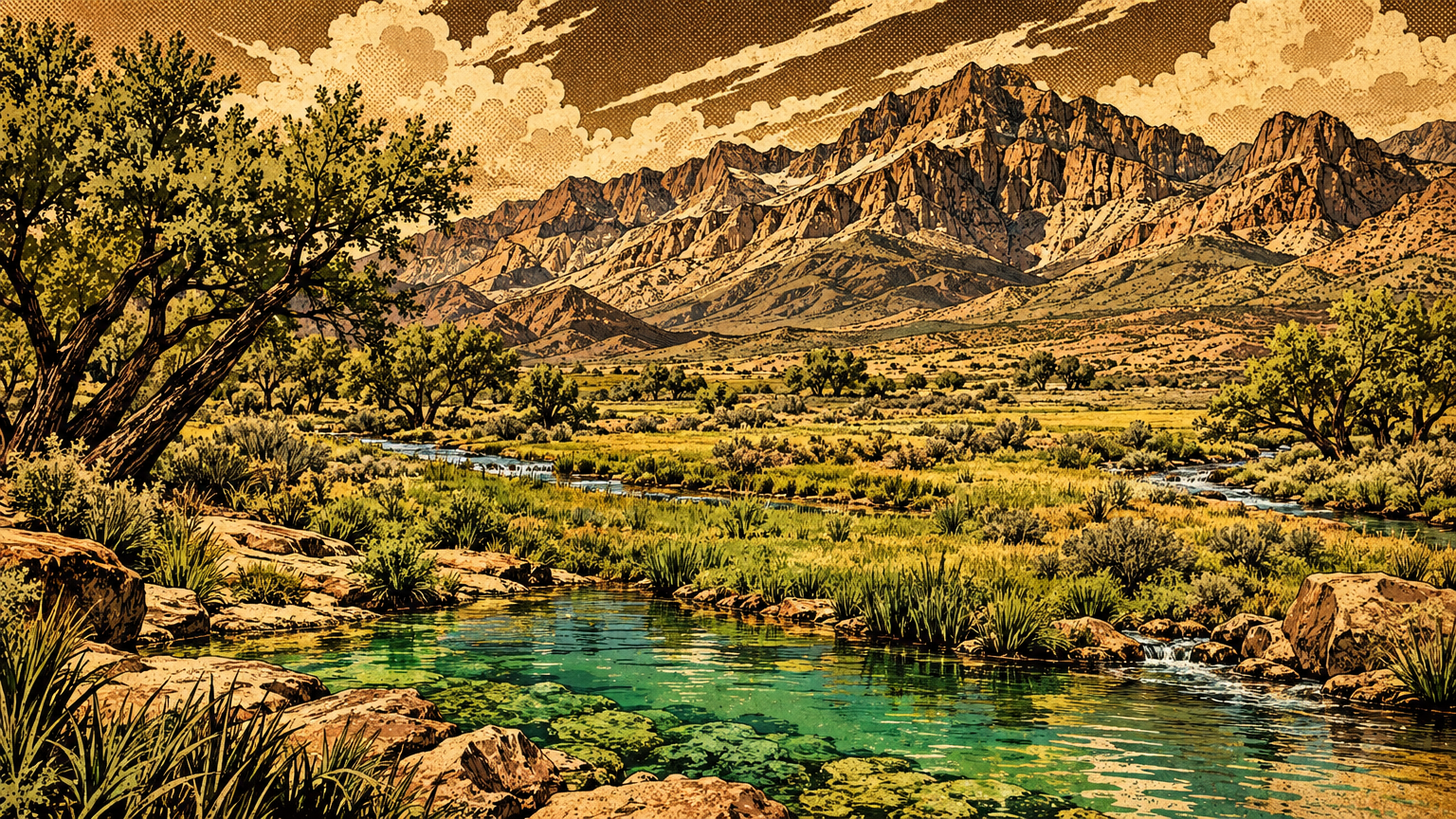
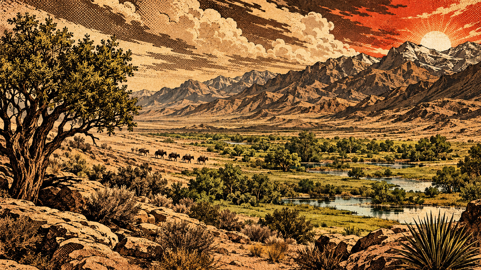
Before there was a Lake Mead, there was the Colorado itself: wild, muddy, flood driven, and older than every road in this valley. This is that river, the one Southern Nevada lived next to long before it learned to drink from it.
A river system older than dams
Natural flows and seasonal floods
Start with the scale, because the scale is the story.
The Colorado River runs about 1,450 miles from the Rocky Mountains of Colorado to the Gulf of California. Along the way it drains roughly 246,000 square miles across seven American states and two Mexican states.
That is not a creek with good branding. That is a continent scale drainage system that happens to pass the edge of the Las Vegas Valley.
And the old river did not run steady. It ran on snow.
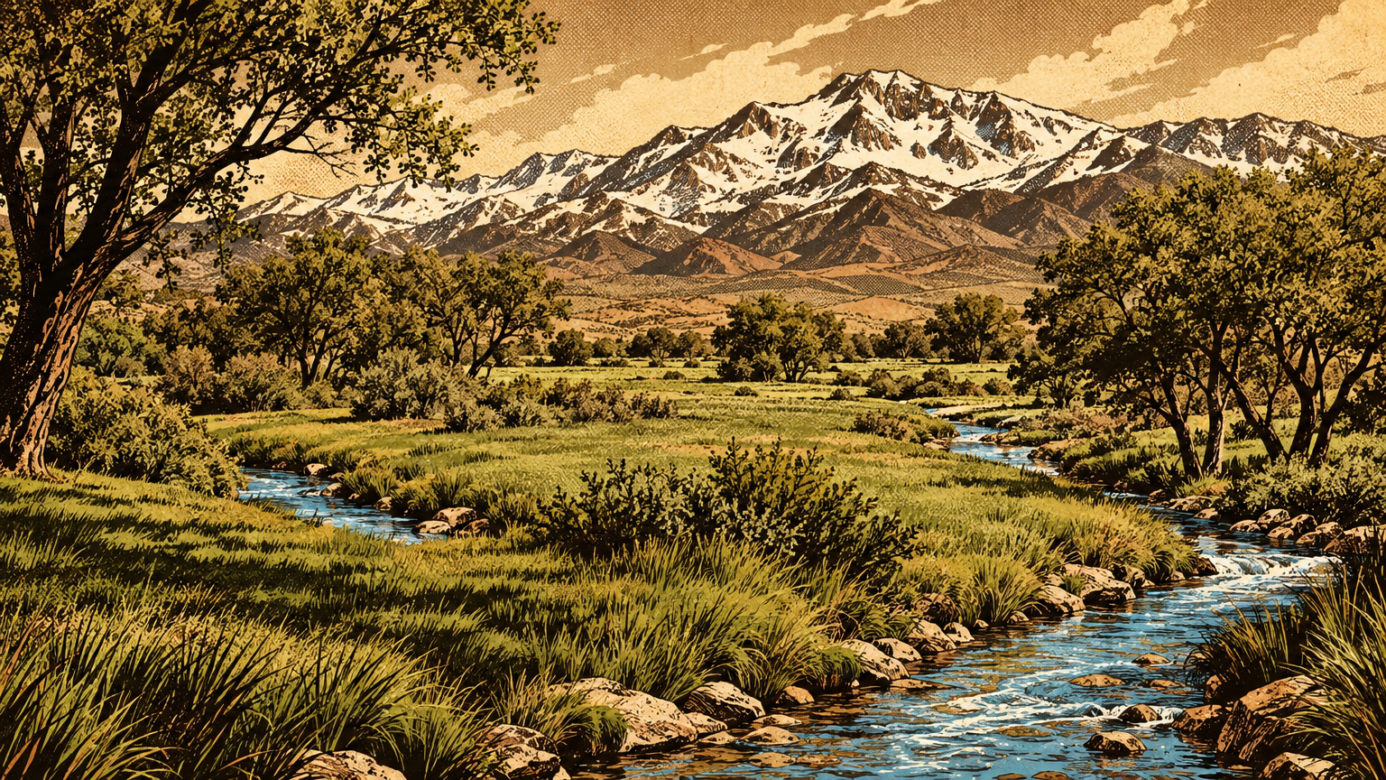
Each spring, snowmelt poured off the Rockies and the high plateaus. The river rose hard, sometimes enormously, then fell back through the summer toward a much smaller flow.
Federal scientists measured what that swing carried. The United States Geological Survey found that the river at Grand Canyon moved an average of about 200 million tons of suspended sediment a year in the years before the big dams closed.
Some years were far heavier. In 1928 to 1929 the load hit about 480 million tons. In the dry year of 1933 to 1934 it dropped to about 50 million tons.
Read those numbers again. The river was not just water. It was moving ground, hundreds of millions of tons of it, grinding its way south every single year.
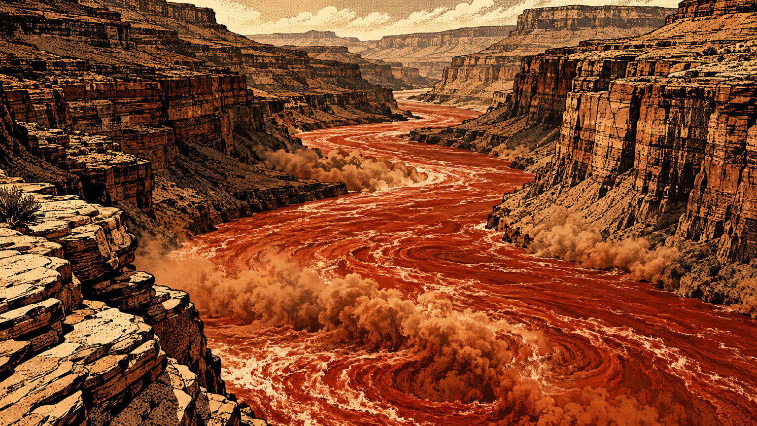
The water itself swung just as wide. Reclamation records for Lee Ferry, in northern Arizona, put the river's natural flow as high as 24 million acre-feet in 1924 and as low as 5.5 million acre-feet in 1977.
A river like that does not do dependable. It does generous, then dangerous, then scarce, and it expects everybody living on its banks to plan around all three.
The danger was not theoretical. In the first years of the 1900s, developers cut into the river below the Mexican border to water California's Imperial Valley.
The flood swollen river found that cut and took it. For about sixteen months the whole Colorado poured into the Imperial Valley fields instead of its own channel.
It enlarged the Salton Sea to roughly 490 square miles and drowned about 30,000 acres of farmland. Closing the break took the Southern Pacific Railroad and an enormous effort.
That disaster is part of why the Southwest stopped asking whether the river should be controlled. The argument after that was only about how, and who would pay.
Nearby Indigenous communities
None of this was news to the people who already lived on the river.
The National Park Service records that the lands around what is now Lake Mead were home to desert cultures thousands of years before any dam. Archaeological evidence there reaches back some 8,000 to 10,000 years, into a wetter and cooler time.
By the farming centuries, the river corridor was worked ground. Early farming groups from present day Davis Dam north to the Virgin and Muddy Rivers grew corn, beans, squash, and cotton.
They lived in pit houses and Puebloan type structures. They ground corn and seeds with stone manos and metates, and they hunted with spears and bows made from local and traded materials.
The Park Service ethnographic overview names the peoples whose territories touched this stretch: the Mojave, the Chemehuevi, the Southern Paiute, and the Hualapai. Each held a different piece of the river country.
For more on the homeland on the valley side of that country, see The Southern Paiute Homeland That Predates Las Vegas.
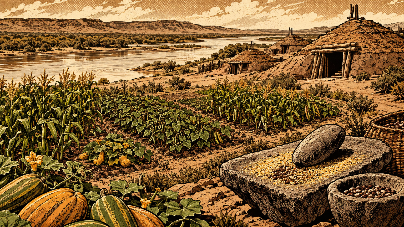
The Mojave farmed the flood itself. Their planting followed the river's rise and fall, working the rich ground the flood left behind as the water receded.
That is a completely different relationship with a flood. To a dam builder, high water is a problem to store. To a floodplain farmer, high water is the delivery system, bringing moisture and fresh silt in one pass.
Both readings of the river are rational. They just belong to different centuries, and only one of them got to build in concrete.
The river also separated peoples as much as it fed them. The Park Service notes it stood as a major geographic barrier, with Yuman speaking peoples on one side and Numic speaking Southern Paiute on the other.
So the Colorado was never the valley's river in the way the springs were. It was the big neighbor: close enough to farm, trade, and fight over, far enough that the springs stayed the valley's daily water.
Routes and crossings
Trade, navigation and travel limits
People moved along this river long before they tried to move boats up it.
Trade crossed the river country in every direction, tying the valley to the Pacific and the Pueblo world. We told that wider story in How Indigenous Trade Connected the Desert Southwest.
Explorers from outside came late to a river that was already mapped in other people's memory. The Park Service records that Jedediah Smith traversed the Virgin and Colorado rivers in 1826 and 1827, meeting the Indigenous people who lived along the banks.
That word, meeting, matters. Smith did not find an empty river. He found an inhabited one, and his route depended on the people and the water knowledge already there.
Steamboats were the next big idea, and the river nearly beat them. Boats worked up from the Gulf of California, but rapids, shifting channels, and seasonal low water set hard limits on how far upriver cargo could reliably go.
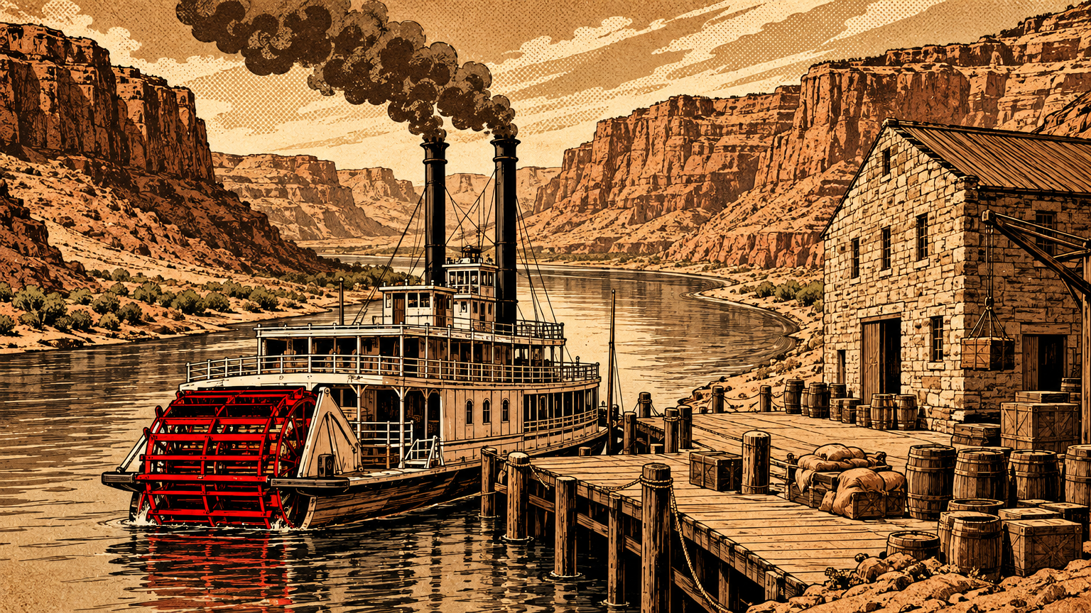
The proof sits under Lake Mead. In December 1864, Anson Call picked a town site on a horseshoe bend of the river and built a landing and a large warehouse.
The town was Callville, planned as a Colorado River port to supply goods to Mormon settlements. A road tied it back toward Las Vegas, making it the valley's one real shot at being a river town.
A steamboat finally landed at Callville in 1866. Two years later the town was abandoned, beaten by isolation, competition, tough upstream navigation, and the coming railroad.
The National Park Service marker at Callville Bay tells the ending in one line of geography. The remains of the town now lie buried in silt on the bottom of Lake Mead, about two miles out from the marker.
The river's place in regional settlement
So the river shaped settlement here mostly by refusing to cooperate.
Las Vegas grew at its springs, on a land route, not on the riverbank. The fort, the ranch, and the railroad town all sat miles west of the Colorado, close to water a traveler could trust in August.
The river towns had the opposite problem. Callville and the Muddy River settlements had big water and big plans, but they were far from markets, hard to supply, and exposed to the river's moods.
Geography graded the papers. The springs won, the port lost, and Las Vegas became a railroad stop in the desert instead of a steamboat landing in a canyon.
Yet the valley was never truly separate from the river. Its own drainage runs toward it, as we traced in The Original Water Map of Las Vegas.
The Las Vegas Wash carries the valley east to the river. Federal geologists put it plainly: most of the valley is tributary to the Colorado through that wash.
For centuries that connection was mostly stormwater running downhill. The city and the river were neighbors who nodded at each other across thirty miles of desert and rarely did business.
That changed the moment engineers started doing arithmetic on the river's floods. Suddenly the wild neighbor was the valley's future water supply, power plant, and flood insurance, all in one muddy package.


An engineered future
What the dam would later change
The paperwork came before the concrete.
On November 24, 1922, the seven basin states signed the Colorado River Compact at Santa Fe. It split the basin at Lee Ferry, Arizona, and apportioned 7.5 million acre-feet a year to the Upper Basin and 7.5 million to the Lower Basin.
The Lower Basin could add another million acre-feet on top of that. Six years later, the Boulder Canyon Project Act divided the Lower Basin share into 4.4 million acre-feet for California, 2.8 million for Arizona, and 300,000 acre-feet for Nevada.
Here is the flaw baked into the foundation. The delegates worked from Reclamation figures showing about 16.4 million acre-feet a year at Lee Ferry, drawn from an unusually wet stretch of years.
Longer records tell a leaner story, closer to 13.5 million acre-feet on average across three centuries. The river was promised, on paper, at a level it does not usually reach.
Nobody in 1922 was lying. They were measuring a wet river and assuming it was a normal one, which is the oldest mistake in western water.
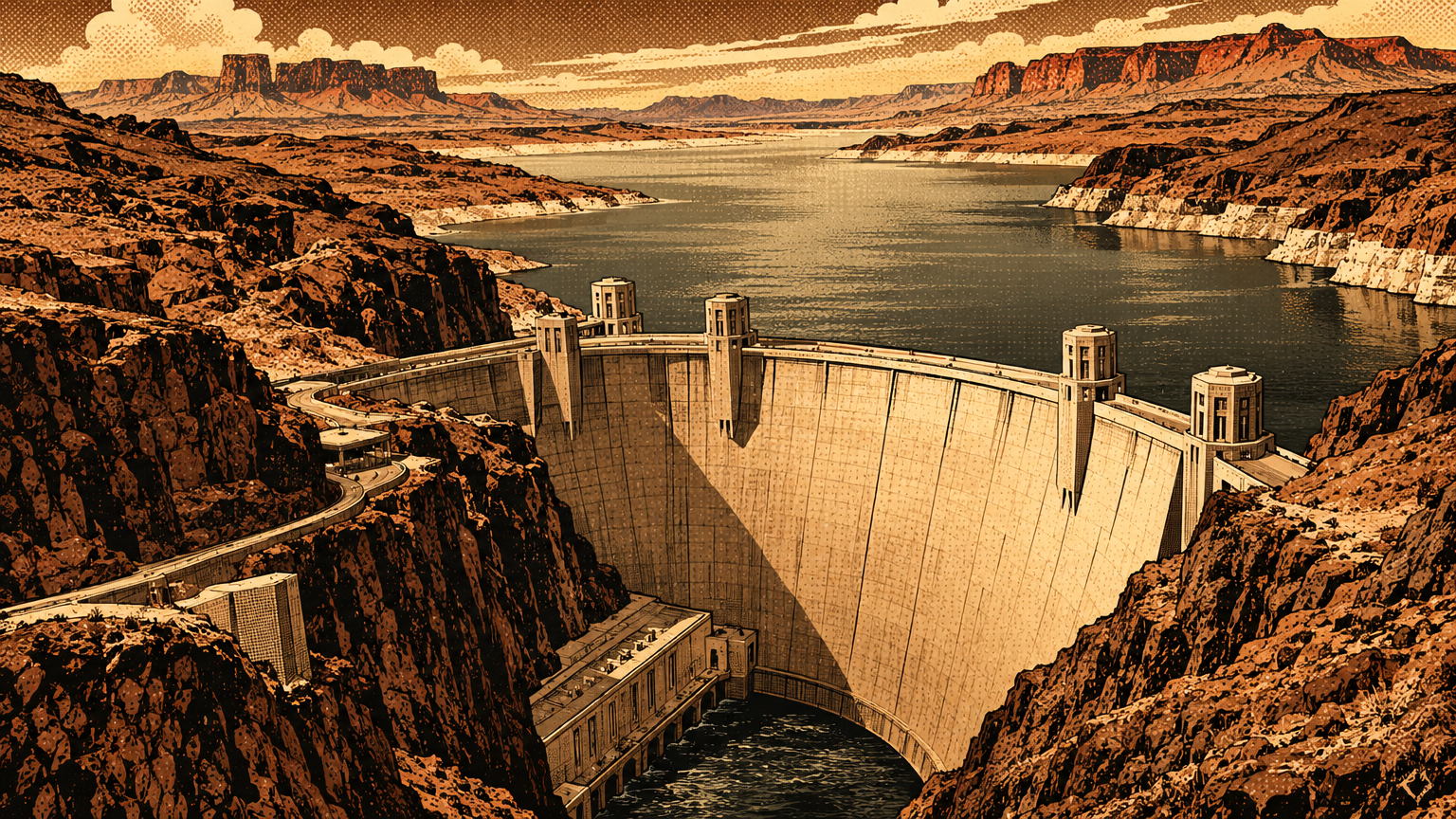
Then came the dam itself. Construction began in 1931 in Black Canyon, not the Boulder Canyon the project was named for, and the last concrete was poured in 1935.
The dam stands 726.4 feet high. President Franklin D. Roosevelt dedicated it on September 30, 1935, and it began regulating the river's flow that same year.
Behind it, the water backed up into a reservoir named for Elwood Mead, the Reclamation commissioner of the era. Lake Mead, at full pool, runs 110 miles long with about 822 miles of shoreline.
Its full capacity is about 28.5 million acre-feet. That is close to two years of the river's average natural flow, held in one desert canyon system.
Downstream, the personality transplant was immediate. The Arizona Geological Survey notes that peak flows near Yuma, which had hit about 129,000 cubic feet per second in 1920, fell to a small fraction of that after the dam.
The floods stopped wrecking farms. The silt stopped moving too, piling up in the reservoir instead of feeding the floodplains and the delta below.
And the delta, where the free river once spread into the Gulf of California, is now mostly dry. The river that built it is spoken for, acre-foot by acre-foot, long before it gets there.
Archival maps and river ecology
So how do we know what the old river looked like, when almost nobody alive has seen it run free?
Part of the answer is gauges. Federal scientists were measuring flow and sampling that staggering sediment load years before the dam closed, which is why the numbers in this piece exist at all.
Part is maps. Survey maps, steamboat era charts, and the Park Service's own archaeological surveys record a shoreline of farms, landings, and floodplain sites that the reservoir later covered.
Callville is the local emblem of that trade. The dam that finally controlled the river also drowned the one port Las Vegas ever had on it, warehouse and all, under silt and deep water.
St. Thomas, the Muddy River farming town east of the valley, went under the same rising water. A whole layer of Southern Nevada settlement history sits on the lake bottom, documented on paper because it can no longer be walked.
The ecology carries the same split record. Above the dam, a vast still lake replaced a moving river canyon. Below it, a regulated river runs clearer, colder, and steadier than the wild one ever did.
Cottonwood and willow floodplain country that depended on the annual flood pulse lost its delivery system. The reservoirs gained fisheries and recreation that the old river never offered. Both statements are true at once.
The National Park Service now manages that bargain on the ground. Lake Mead National Recreation Area, established as the first national recreation area in 1964, covers the lakes and the river corridor below them. Its own history pages are a good place to keep reading, at the Park Service's Lake Mead history and culture pages.
Stand at the shore today and the trick is seeing double. The blue water in front of you is a reservoir, younger than some of the valley's oldest casinos were.
Under it runs the ghost of a red, silt heavy river that flooded every spring, fed farms on its banks, stopped steamboats cold, and only ever passed this valley on its way somewhere else.
Las Vegas eventually solved that. It did not move to the river. It made the river stop, fill a canyon, and come to it through pipes.
Next time in this series, we take on the founding myth head on, in "Why 'Empty Desert' Is the Wrong Las Vegas Origin Story."