Every map of this valley is two maps stacked on top of each other.
The top map is the one in your phone. It says Las Vegas, Clark County, Nevada, Fremont Street, Henderson, Boulder City.
The bottom map is older, and it is not printed at all. It was carried in language and in song, by people who named this ground for what it did, not for who owned it.
Read the two maps together and the valley stops looking named. It starts looking argued over, layer by layer, for a very long time.
Names before city maps
Tribal language and meaning
Start with the namers who were here first.
The Las Vegas Paiute Tribe introduces itself on its own government site as the Tudinu, a federally recognized sovereign nation. Its ancestors have inhabited Southern Nevada since at least AD 1100.
The University of Nevada, Las Vegas fills in the language behind that name. Tudinu means Desert People, and the wider people are the Nuwu, written Nuwuvi in much scholarly work, a word that simply means the People.
That is the oldest naming pattern in this valley. We are the people, this is our place, and the name for the people and the name for the place grow out of the same ground.
The Southern Paiute language belongs to the Numic branch of the Uto-Aztecan family, the family the university notes for this region. It was the operating system of the homeland long before English or Spanish arrived with pencils.
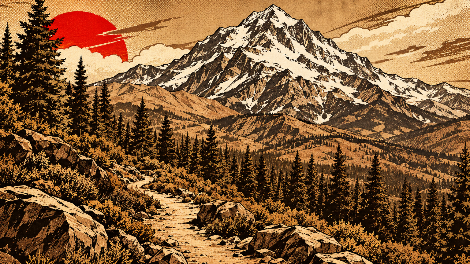
One name shows how that system worked. In Southern Paiute tradition, the high range west of the valley is Nuvagantu, which translates as where snow sits.
Work recorded with the tribes by anthropologist Jeremy Spoon and the Forest Service describes Nuvagantu as the place where the Nuwuvi were created. The land itself, in that teaching, is alive.
Notice what kind of name that is. It is not a surname. It is a description and a claim at once: the mountain that holds the snow, the mountain that made us.
For the full homeland story, see our earlier piece, The Southern Paiute Homeland That Predates Las Vegas. For the range itself, see The Spring Mountains Before the Skyline.
Those names were never decorative. A name that tells you where the snow sits also tells you where the water will run, where the pine nuts will ripen, and where summer camp belongs.
Why oral sources matter
None of that first map was written down by its makers. It was remembered, taught, and sung, which is exactly why later mapmakers missed so much of it.
The clearest proof is the Salt Songs. The Cultural Conservancy, which documents the tradition with Southern Paiute singers, describes them as the sacred songs of the Nuwuvi people.
The cycle runs to about 142 songs. Singers perform it from sunset to sunrise at memorial ceremonies, to assist the departed on their journey.
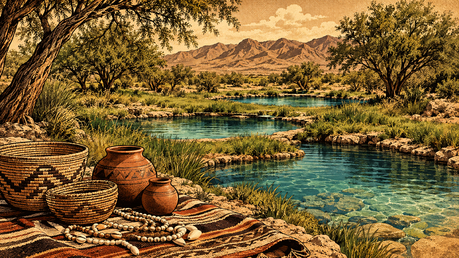
Along the way, the songs name the land place by place. Ancient villages, gathering sites for salt and medicinal herbs, trading routes, historic events, and sacred areas all appear in order.
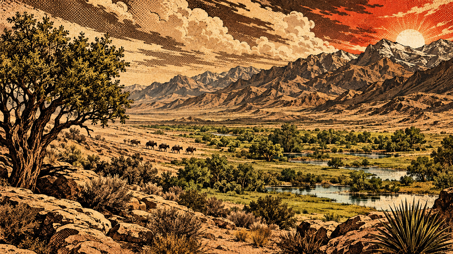
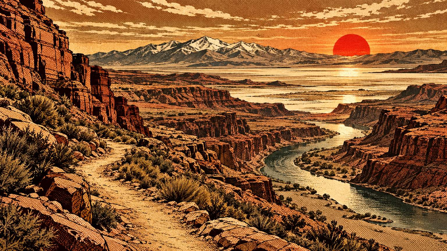
The Conservancy map of the trail traces that journey north along the Colorado River, west to Nuva Kaiv, the mountain locals now call Charleston, and back through the Mojave. It is a geography you carry in memory.
A map like that cannot be confiscated, flooded, or fenced. It survives as long as someone keeps singing, which is why oral tradition is not a soft source. For this landscape, it is the primary archive.
It also sets the standard for everything that follows in this story. When a printed map and a sung map disagree, the honest move is to say so, not to crown the printed one.
Renaming the landscape
Spanish descriptions and settler maps
The second layer arrived in Spanish, and it named what it saw.
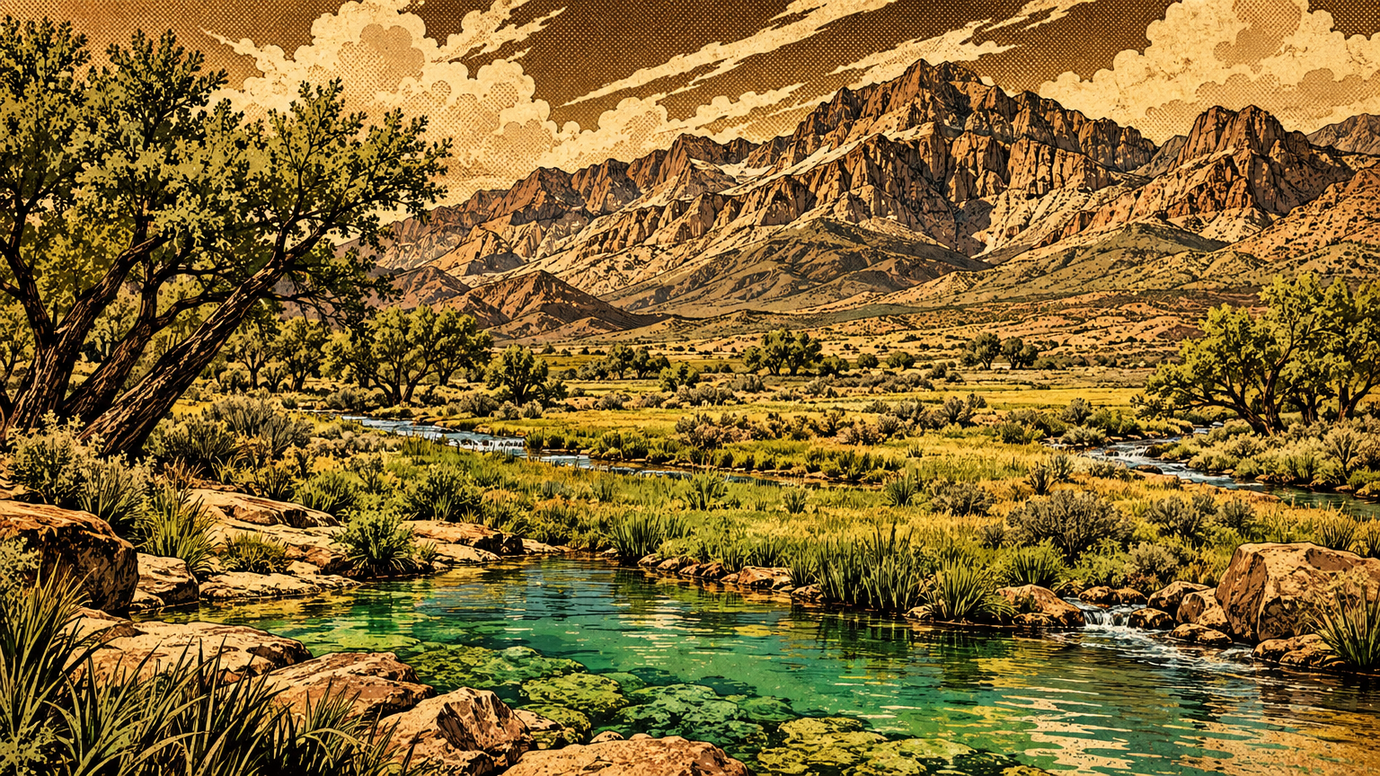
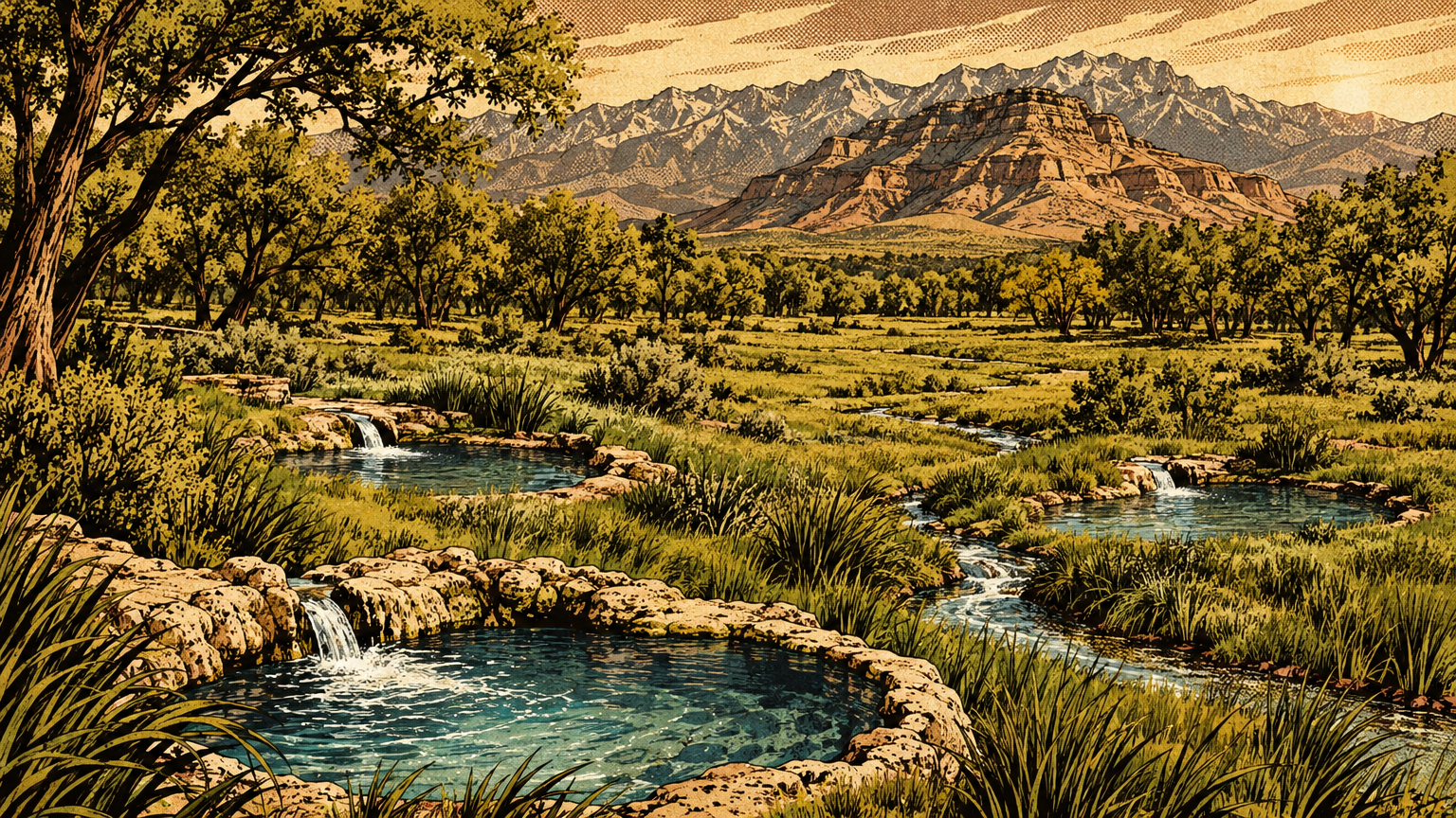
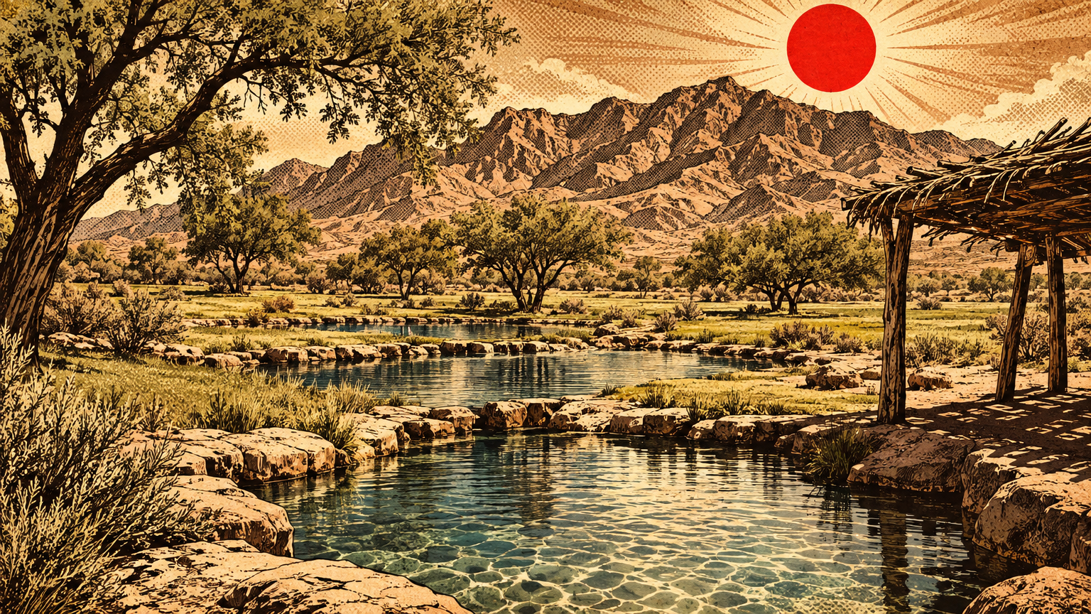
The most famous name in the valley is a description, not a person. Las Vegas means the meadows, a plain label for the green ground fed by the springs in the middle of the Mojave.
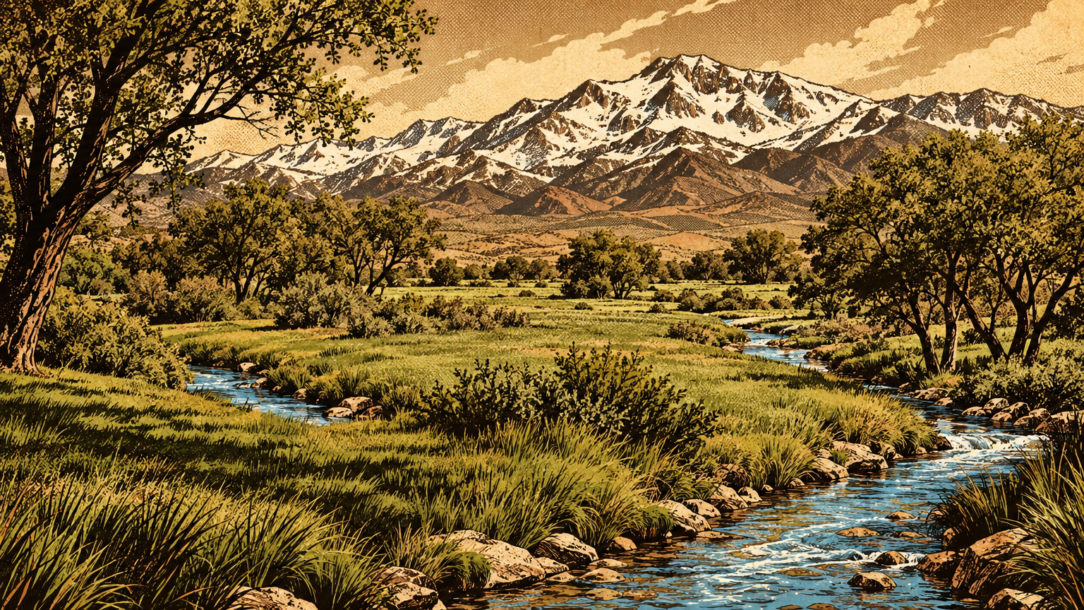
Nevada works the same way at state scale. The Bureau of Indian Affairs list of state name origins gives Nevada as a Spanish word meaning snow-clad or snowy, descriptive of the snow-clad mountains of the area.
Spanish speakers were naming by appearance again. Green meadows in the desert, snow on the high country. If you knew the words, the map told you what the land looked like before you got there.
Print then froze some of those descriptions in place. John C. Fremont camped at the springs in May 1844, described the place and its Spanish name in his expedition report, and that report and its maps circulated by the tens of thousands.
That is how a campsite label became a permanent name. Not because Fremont invented it, but because his printed version is the one the rest of the country read.
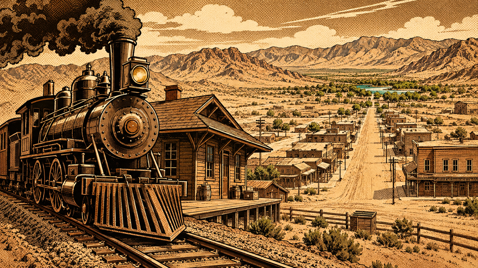
The railroad town that followed honored the mapmaker, not the meadow. When Las Vegas was laid out in the early 1900s, its main street took the name Fremont, for the explorer who had camped at the springs in 1844.
The third layer named people instead of places. Clark County, formed in 1909, carries the name of Senator William Andrews Clark, the railroad builder whose line linked Los Angeles with Salt Lake City through this valley.
Clark County says so itself, in its own history. His railroad bought the old ranch land, auctioned the townsite lots in 1905, and the county that followed kept his surname.
Henderson repeated the pattern a generation later. The City of Henderson records that its post office was established in 1944 in honor of former Senator Charles B. Henderson, who had helped finance the wartime magnesium plant the town was built around.
Conflicting spellings and records
Here is where a careful reader has to slow down, because the record argues with itself.
Ask who named Las Vegas and popular retellings give you a tidy answer. Rafael Rivera, a scout with the Armijo trading party of 1829 and 1830, found the springs and named the meadows.
Now read the state's own marker at the springs. The Nevada State Historic Preservation Office marker says an unknown Spanish-speaking sojourner named this place Las Vegas, meaning the meadows.
Unknown. The official marker, standing on the ground itself, declines to name the namer.
That gap is not a failure of the story. It is the story, and any version that fills it in with total confidence is selling you something.
What is certain is older and more important. Whoever spoke the Spanish name first, Southern Paiute people were already living at those springs, and the meadows were already a homeland with names of its own.
Spelling drifted too, as names moved between languages and clerks. Nuwu appears as Nuwuvi in scholarly work, Charleston names both a peak and the older label for the Spring Mountains country, and the springs marker itself uses the Charleston Mountains for the summer homeland of the Southern Paiutes.
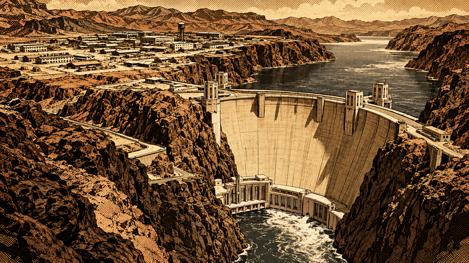
Boulder City carries the strangest conflict of all, a name pointing at the wrong canyon. The 1941 state place name volume, hosted today by the University of Nevada, Reno, says Boulder City was named from Boulder Canyon, north of Black Canyon.
The dam the town was built to serve does not stand in Boulder Canyon. Bureau of Reclamation history explains that engineers recommended the Black Canyon site in 1924, while the Boulder Canyon Project name stayed on the paperwork.
The dam then swapped names with the politics of the day. Reclamation records that it was ordered called Hoover Dam in 1930, that Boulder Dam came into common use after President Hoover left office, and that Congress restored the name Hoover Dam in 1947.
One town, one dam, two canyons, two names. If place names look simple, it is only because somebody stopped asking questions.


Recovering context
Current naming initiatives
The good news is that this record is not left to folklore and guesswork. People have been rebuilding it, name by name, for more than eighty years.
The first big rescue attempt came in 1941. The Nevada State Writers' Project published Origin of Place Names: Nevada, and its introduction admits the problem plainly: a tremendous number of names had no record at all, and the reasons for many had been forgotten or grown vague.
Helen S. Carlson then spent years doing the slow version. Her 1959 dissertation at the University of New Mexico surveyed some 3,000 Nevada names, working to identify each place and tell, where possible, when, why, and by whom it was named.
That work became Nevada Place Names: A Geographical Dictionary, published by the University of Nevada Press in 1974. It is still the starting shelf for anyone serious about a Nevada name.
Above the local work sits a national referee. The United States Board on Geographic Names was established in 1890, after confusion over names made federal maps unreliable, and it still decides official names for federal use.
Its published principles are quietly radical. Names in local usage carry weight, one geographic entity gets one official name, and names of Native American origin get their own policy chapter.
Local use first. That principle, applied honestly, points straight back to the bottom map, the one that was sung before it was ever surveyed.
Tribal work points the same direction today. The Salt Song Trail Map, built by the Cultural Conservancy with Salt Song singers, puts the sung geography on paper with the singers' own direction, instead of treating oral tradition as a rumor to be checked against a survey.
How to cite names respectfully
So what does a reader, a writer, or a tour guide actually do with all this? A few working rules cover most of it.
First, credit the source, not the legend. If the state marker says the namer of Las Vegas is unknown, write unknown, and let the Rivera story ride as the popular retelling it is.
Second, use the names people use for themselves. The Las Vegas Paiute Tribe is the Tudinu, part of the greater Nuwu people, and its government sits at 1 Paiute Drive, Las Vegas, NV 89106.
Third, never call this valley discovered or empty in any century. The Spanish name described a meadow that was already a winter homeland, a fact the springs marker states in the same breath as the naming.
Fourth, when a name honors a person, say who the person was. Clark was a railroad senator who never made this valley his home, Henderson was a senator tied to a wartime plant, and Fremont was a visiting mapmaker. Readers deserve the whole label.
You can walk the most layered name in the valley in one afternoon. The Springs Preserve at 333 S. Valley View Blvd, Las Vegas, NV 89107 protects the springs ground, and its own site is a good next read at Springs Preserve.
Start there, then read the valley outward. For the water that made the meadow worth naming, see Why the Las Vegas Springs Were a Desert Lifeline and The Original Water Map of Las Vegas.
The Tribe's own telling is online too, at the Las Vegas Paiute Tribe government site. Read the names there first, and the printed map makes a lot more sense.
Because that is the real lesson of this valley's names. A name is never just a label. It is a record of who got to describe the land, who got printed, and who kept singing until the rest of us finally listened.
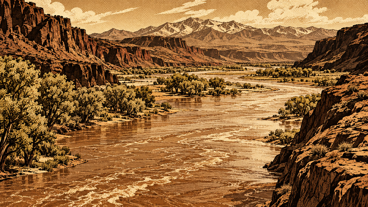
Next time, we follow the biggest water of all, the river east of the valley before the lake covered its canyons: Before Lake Mead: The Colorado River and Southern Nevada.